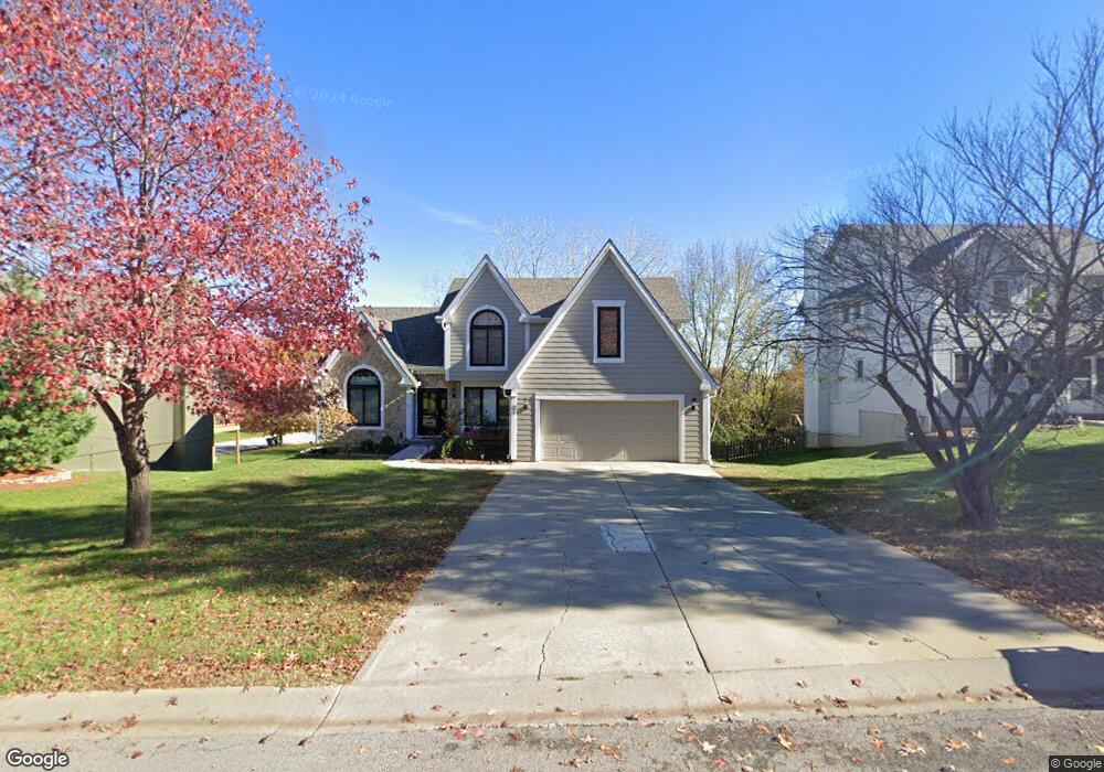
705 Bittersweet Rd Lansing, KS 66043
Estimated Value: $427,000 - $443,000
6
Beds
4
Baths
2,410
Sq Ft
$182/Sq Ft
Est. Value
About This Home
This home is located at 705 Bittersweet Rd, Lansing, KS 66043 and is currently estimated at $437,455, approximately $181 per square foot. 705 Bittersweet Rd is a home located in Leavenworth County with nearby schools including Lansing Elementary School, Lansing Middle 6-8, and Lansing High 9-12.
Ownership History
Date
Name
Owned For
Owner Type
Purchase Details
Closed on
Jul 12, 2021
Sold by
Eccleston Thomas Edward and Eccleston Michael Scott
Bought by
Seebeck Homes Llc
Current Estimated Value
Home Financials for this Owner
Home Financials are based on the most recent Mortgage that was taken out on this home.
Original Mortgage
$286,090
Outstanding Balance
$259,582
Interest Rate
2.9%
Mortgage Type
New Conventional
Estimated Equity
$177,873
Purchase Details
Closed on
Sep 1, 1993
Bought by
Eccleston Thomas E
Create a Home Valuation Report for This Property
The Home Valuation Report is an in-depth analysis detailing your home's value as well as a comparison with similar homes in the area
Home Values in the Area
Average Home Value in this Area
Purchase History
| Date | Buyer | Sale Price | Title Company |
|---|---|---|---|
| Seebeck Homes Llc | $238,000 | New Title Company Name | |
| Eccleston Thomas E | $137,500 | -- |
Source: Public Records
Mortgage History
| Date | Status | Borrower | Loan Amount |
|---|---|---|---|
| Open | Seebeck Homes Llc | $286,090 |
Source: Public Records
Tax History Compared to Growth
Tax History
| Year | Tax Paid | Tax Assessment Tax Assessment Total Assessment is a certain percentage of the fair market value that is determined by local assessors to be the total taxable value of land and additions on the property. | Land | Improvement |
|---|---|---|---|---|
| 2025 | $6,370 | $48,783 | $5,520 | $43,263 |
| 2024 | $6,370 | $48,783 | $4,370 | $44,413 |
| 2023 | $6,370 | $48,783 | $4,370 | $44,413 |
| 2022 | $4,402 | $43,125 | $3,340 | $39,785 |
| 2021 | $4,402 | $30,567 | $3,340 | $27,227 |
| 2020 | $4,128 | $28,221 | $3,340 | $24,881 |
| 2019 | $3,969 | $27,106 | $3,340 | $23,766 |
| 2018 | $3,707 | $25,354 | $2,760 | $22,594 |
| 2017 | $3,539 | $24,162 | $2,760 | $21,402 |
| 2016 | $3,411 | $23,288 | $2,760 | $20,528 |
| 2015 | $3,401 | $23,288 | $2,760 | $20,528 |
| 2014 | $3,331 | $23,288 | $2,760 | $20,528 |
Source: Public Records
Map
Nearby Homes
- 624 S Bittersweet Ln
- 722 Bittersweet Rd
- 527 S Valley Dr
- 922 Southfork St
- 811 4-H Rd
- 104 Olive St
- 901 S Main St
- 506 1st Terrace
- 000 4-H Rd
- 115 W Gilman Rd
- 202 S Main St
- 124 S Main St
- 102 S 3rd Ct
- 73 Continental Dr
- 209 E Kay St
- 610 Meadowlark Rd
- 131 Rock Creek Loop
- 77 Continental Dr
- 218 E Kay St
- 875 Clearview Dr
- 705 S Bittersweet Ct
- 709 Bittersweet Rd
- 701 Bittersweet Rd
- 329 Maple Ln
- 711 Bittersweet Rd
- 706 Bittersweet Rd
- 327 Maple Ln
- 700 Bittersweet Rd
- 625 Bittersweet Rd
- 831 Blueberry St
- 625 S Bittersweet Ln
- 712 Bittersweet Rd
- 00000 Maple Ln
- 829 Blueberry St
- 325 Maple Ln
- 715 Bittersweet Rd
- 624 Bittersweet Rd
- 621 Bittersweet Rd
- 827 Blueberry St
- 718 Bittersweet Rd