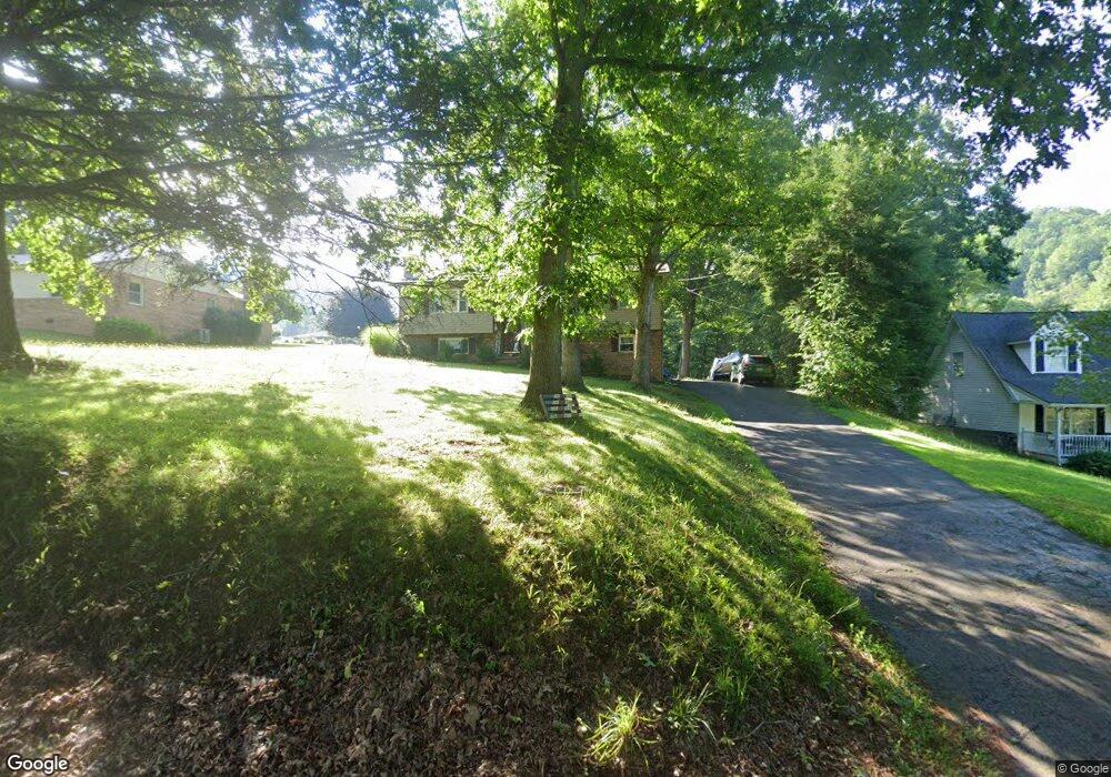
705 C and O Dam Rd Daniels, WV 25832
Estimated Value: $200,922 - $264,000
3
Beds
1
Bath
1,184
Sq Ft
$201/Sq Ft
Est. Value
About This Home
This home is located at 705 C and O Dam Rd, Daniels, WV 25832 and is currently estimated at $237,731, approximately $200 per square foot. 705 C and O Dam Rd is a home located in Raleigh County with nearby schools including Daniels Elementary School, Shady Spring Middle School, and Shady Spring High School.
Ownership History
Date
Name
Owned For
Owner Type
Purchase Details
Closed on
Jul 22, 2013
Sold by
Bowden Rebecca D and Bowden Jack Delbert
Bought by
Stewart Kevin D and Stewart Angela S
Current Estimated Value
Home Financials for this Owner
Home Financials are based on the most recent Mortgage that was taken out on this home.
Original Mortgage
$128,000
Outstanding Balance
$92,892
Interest Rate
3.95%
Mortgage Type
New Conventional
Estimated Equity
$144,839
Create a Home Valuation Report for This Property
The Home Valuation Report is an in-depth analysis detailing your home's value as well as a comparison with similar homes in the area
Home Values in the Area
Average Home Value in this Area
Purchase History
| Date | Buyer | Sale Price | Title Company |
|---|---|---|---|
| Stewart Kevin D | $160,000 | -- |
Source: Public Records
Mortgage History
| Date | Status | Borrower | Loan Amount |
|---|---|---|---|
| Open | Stewart Kevin D | $128,000 | |
| Closed | Stewart Kevin D | $15,000 |
Source: Public Records
Tax History Compared to Growth
Tax History
| Year | Tax Paid | Tax Assessment Tax Assessment Total Assessment is a certain percentage of the fair market value that is determined by local assessors to be the total taxable value of land and additions on the property. | Land | Improvement |
|---|---|---|---|---|
| 2025 | $651 | $73,920 | $8,700 | $65,220 |
| 2024 | $629 | $72,360 | $8,700 | $63,660 |
| 2023 | $755 | $82,860 | $8,700 | $74,160 |
| 2022 | $755 | $82,860 | $8,700 | $74,160 |
| 2021 | $735 | $81,180 | $8,700 | $72,480 |
| 2020 | $752 | $82,260 | $9,780 | $72,480 |
| 2019 | $811 | $87,060 | $9,780 | $77,280 |
| 2018 | $797 | $85,980 | $8,700 | $77,280 |
| 2017 | $855 | $90,780 | $8,700 | $82,080 |
| 2016 | $1,115 | $90,780 | $8,700 | $82,080 |
| 2015 | $1,065 | $86,760 | $8,040 | $78,720 |
| 2014 | $576 | $46,920 | $5,640 | $41,280 |
Source: Public Records
Map
Nearby Homes
- 128 Locust St
- 142 Cherry St
- 161 Windsor Ct Unit 10
- 191 Windsor Ct Unit 7
- 150 Windsor Ct Unit 21
- 201 Windsor Ct Unit 6
- 151 Windsor Ct Unit 11
- 315 Camp Rd
- 195 C and O Dam Rd
- 133 Mary's Trail
- 126 Mary's Trail Unit 4
- 161 Uplands Ln Unit 7
- 142 Mary's Trail Unit 6
- 125 March Chapel
- 142 Abbey Ln Unit 11
- 361 Barnstaple Dr Unit 20
- 101 Angelica Place Unit 52
- 124 Robert Way Unit 10
- 141 Arthur Ln Unit 5
- 128 St Michael Ln Unit 73
- 711 C and O Dam Rd
- 615 C and O Dam Rd
- 603 C and O Dam Rd
- 723 C and O Dam Rd
- 104 Locust St
- 107 Locust St
- 731 C and O Dam Rd
- 712 C and O Dam Rd
- 134 Main St
- 521 C and O Dam Rd
- 604 C and O Dam Rd
- 110 Locust St
- 602 C and O Dam Rd
- 121 Main St
- 730 C and O Dam Rd
- 129 Main St
- 739 C and O Dam Rd
- 114 Brook Ln
- 128 Brook Ln
- 513 C and O Dam Rd