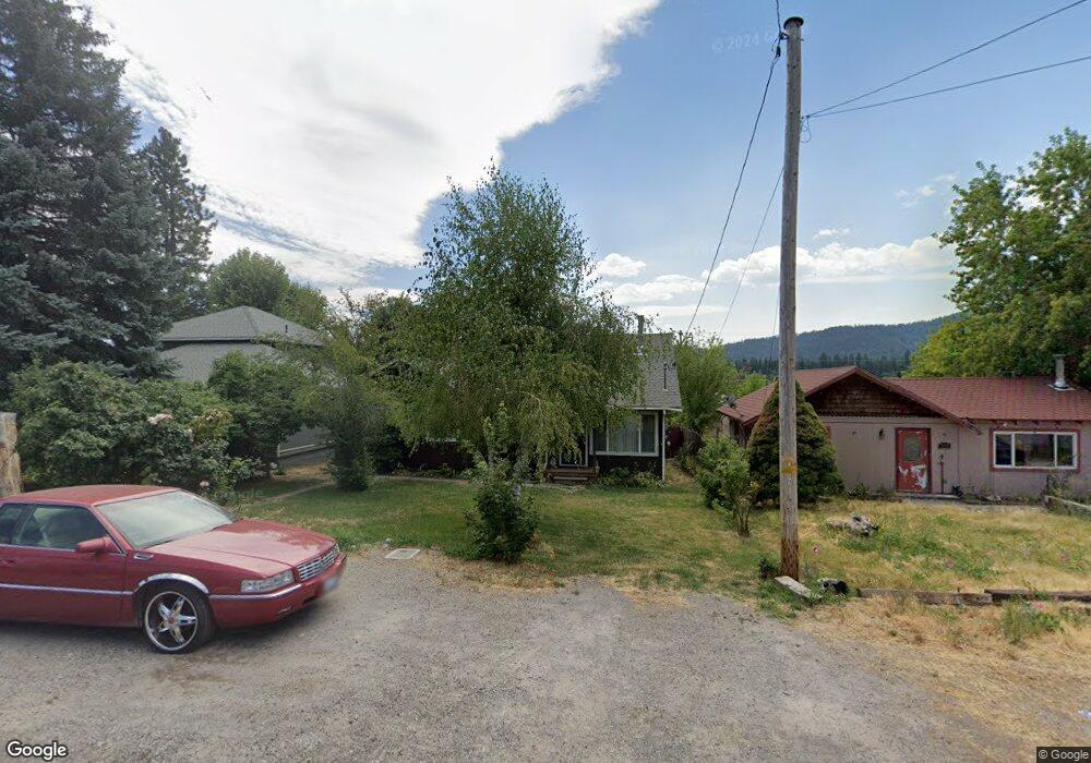
705 Cedar St Mount Shasta, CA 96067
Estimated Value: $247,398 - $373,000
2
Beds
2
Baths
1,614
Sq Ft
$197/Sq Ft
Est. Value
About This Home
This home is located at 705 Cedar St, Mount Shasta, CA 96067 and is currently estimated at $317,350, approximately $196 per square foot. 705 Cedar St is a home located in Siskiyou County with nearby schools including Mt. Shasta Elementary School, Mt. Shasta High School, and Golden Eagle Charter School.
Ownership History
Date
Name
Owned For
Owner Type
Purchase Details
Closed on
Jan 13, 2003
Sold by
Blockman Kennith L and Blockman Elisabeth
Bought by
Blockman Kenneth L and Blockman Dawnial M
Current Estimated Value
Home Financials for this Owner
Home Financials are based on the most recent Mortgage that was taken out on this home.
Original Mortgage
$94,575
Interest Rate
5.36%
Mortgage Type
Balloon
Create a Home Valuation Report for This Property
The Home Valuation Report is an in-depth analysis detailing your home's value as well as a comparison with similar homes in the area
Home Values in the Area
Average Home Value in this Area
Purchase History
| Date | Buyer | Sale Price | Title Company |
|---|---|---|---|
| Blockman Kenneth L | -- | Mt Shasta Title & Escrow |
Source: Public Records
Mortgage History
| Date | Status | Borrower | Loan Amount |
|---|---|---|---|
| Closed | Blockman Kenneth L | $94,575 |
Source: Public Records
Tax History
| Year | Tax Paid | Tax Assessment Tax Assessment Total Assessment is a certain percentage of the fair market value that is determined by local assessors to be the total taxable value of land and additions on the property. | Land | Improvement |
|---|---|---|---|---|
| 2025 | $1,277 | $121,713 | $28,983 | $92,730 |
| 2023 | $1,277 | $116,988 | $27,858 | $89,130 |
| 2022 | $1,228 | $114,695 | $27,312 | $87,383 |
| 2021 | $1,207 | $112,447 | $26,777 | $85,670 |
| 2020 | $1,206 | $111,295 | $26,503 | $84,792 |
| 2019 | $1,184 | $109,114 | $25,984 | $83,130 |
| 2018 | $1,161 | $106,975 | $25,475 | $81,500 |
| 2017 | $1,149 | $104,878 | $24,976 | $79,902 |
| 2016 | $1,126 | $102,823 | $24,487 | $78,336 |
| 2015 | $1,111 | $101,280 | $24,120 | $77,160 |
| 2014 | $1,091 | $99,297 | $23,648 | $75,649 |
Source: Public Records
Map
Nearby Homes
- 709 Cedar St
- 300 E Jessie St
- 0 Lot 8 Gateway Park
- 0 Alma St Apn #057-203-040
- lot 7 Ream Ave
- 322 E Jessie St
- Financing Miningclaim Ownership
- 704 Marjorie St
- 0 Berry St
- 00 Kenneth Marjorie
- 102 S A St
- 1420 Kingston Rd
- 1434 Kingston Rd
- 1044 N Mt Shasta Blv
- 201 Terry Lynn Ave
- 509 Mccloud Ave
- 307 N Adams Dr
- 0 Everitt Memorial Hwy
- Lot 1 S Old Stage Rd
- 415 Old McCloud Rd
- 701 Cedar St
- 711 Cedar St
- 717 Cedar St
- Lot B (10 11 12) Cedar St
- Lot C (1-9 Cedar St
- Lot C (7,8 Cedar St
- 0 Cedar St
- 714 Cedar St
- Lot C (7,8,9) Cedar St
- Lot C (1-9) Cedar St
- 710 Spring St
- 414 W Ivy St
- 631 Cedar St
- 712 Spring St
- 706 Cedar St
- 702 Cedar St
- 712 Cedar St
- 716 Spring St
- 721 Cedar St
- 625 Cedar St
Your Personal Tour Guide
Ask me questions while you tour the home.