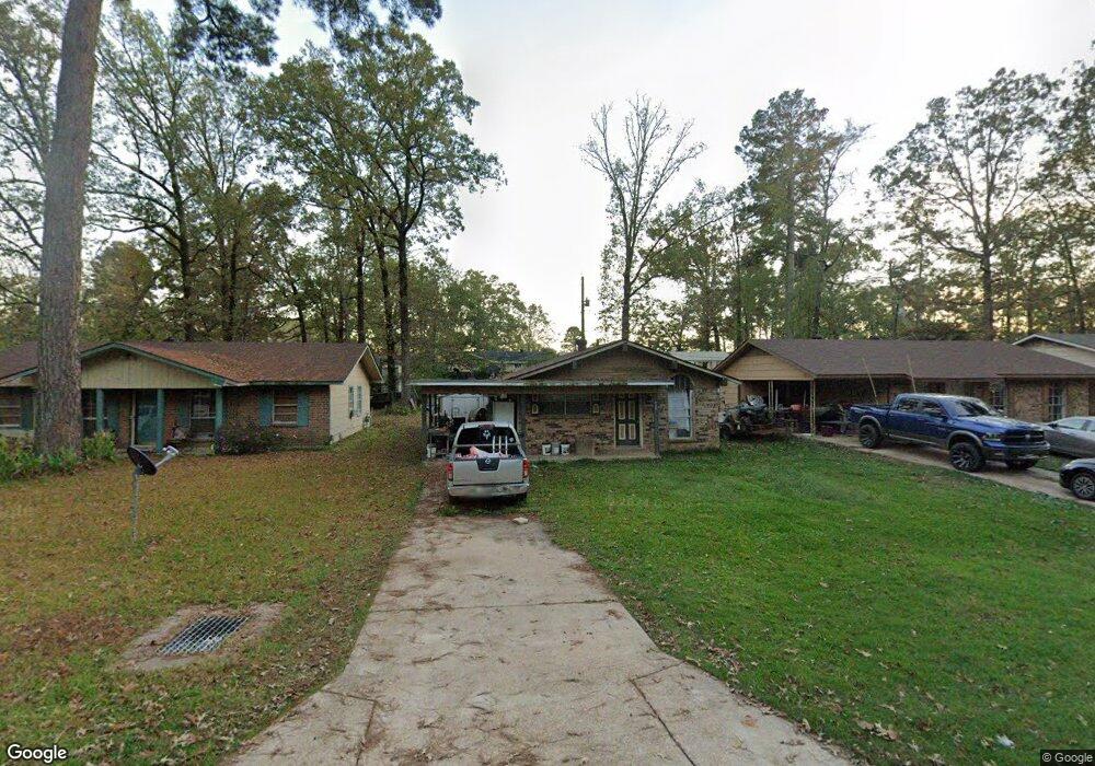
705 Cindy Ln Haughton, LA 71037
Eastwood NeighborhoodEstimated Value: $117,168 - $137,000
3
Beds
1
Bath
888
Sq Ft
$144/Sq Ft
Est. Value
About This Home
This home is located at 705 Cindy Ln, Haughton, LA 71037 and is currently estimated at $128,042, approximately $144 per square foot. 705 Cindy Ln is a home located in Bossier Parish with nearby schools including T.L. Rodes Elementary School, Platt Elementary School, and Princeton Elementary School.
Ownership History
Date
Name
Owned For
Owner Type
Purchase Details
Closed on
Jul 11, 2005
Sold by
Meadows Kevin Earl and Meadows Lori Ann Olden
Bought by
Hensley Andy Duane Allen
Current Estimated Value
Home Financials for this Owner
Home Financials are based on the most recent Mortgage that was taken out on this home.
Original Mortgage
$55,350
Outstanding Balance
$28,856
Interest Rate
5.64%
Mortgage Type
Unknown
Estimated Equity
$99,186
Create a Home Valuation Report for This Property
The Home Valuation Report is an in-depth analysis detailing your home's value as well as a comparison with similar homes in the area
Home Values in the Area
Average Home Value in this Area
Purchase History
| Date | Buyer | Sale Price | Title Company |
|---|---|---|---|
| Hensley Andy Duane Allen | $55,350 | None Available |
Source: Public Records
Mortgage History
| Date | Status | Borrower | Loan Amount |
|---|---|---|---|
| Open | Hensley Andy Duane Allen | $55,350 |
Source: Public Records
Tax History
| Year | Tax Paid | Tax Assessment Tax Assessment Total Assessment is a certain percentage of the fair market value that is determined by local assessors to be the total taxable value of land and additions on the property. | Land | Improvement |
|---|---|---|---|---|
| 2024 | $36 | $6,139 | $1,300 | $4,839 |
| 2023 | $36 | $5,585 | $1,100 | $4,485 |
| 2022 | $36 | $5,585 | $1,100 | $4,485 |
| 2021 | $36 | $5,585 | $1,100 | $4,485 |
| 2020 | $36 | $5,585 | $1,100 | $4,485 |
| 2019 | $36 | $5,740 | $1,100 | $4,640 |
| 2018 | $36 | $5,740 | $1,100 | $4,640 |
| 2017 | $36 | $5,740 | $1,100 | $4,640 |
| 2016 | $36 | $5,740 | $1,100 | $4,640 |
| 2015 | $690 | $5,710 | $1,100 | $4,610 |
| 2014 | $36 | $5,710 | $1,100 | $4,610 |
Source: Public Records
Map
Nearby Homes
- 1197 Wafer Rd
- 4505 Pine Crest Dr
- 126 Platt Dr
- 603 Pine Cone Dr
- 123 Taylor Bend St
- 15 Lee Ln
- 4705 Highway 80 Unit 1
- 3013 Sagefield Ln
- 109 Flagg Dr
- 3028 Sagefield Ln
- 2117 Forest Hills Blvd
- 2509 Bloomfield Ln
- 3034 Sagefield Ln
- 2228 Grapevine Ln
- 2115 Hollow Wood Way
- 212 Sweetgum Dr
- 1940 Honeytree Trail
- 2104 Hollow Wood Way
- 570 Roach Rd
- 207 Chimney Ln
Your Personal Tour Guide
Ask me questions while you tour the home.