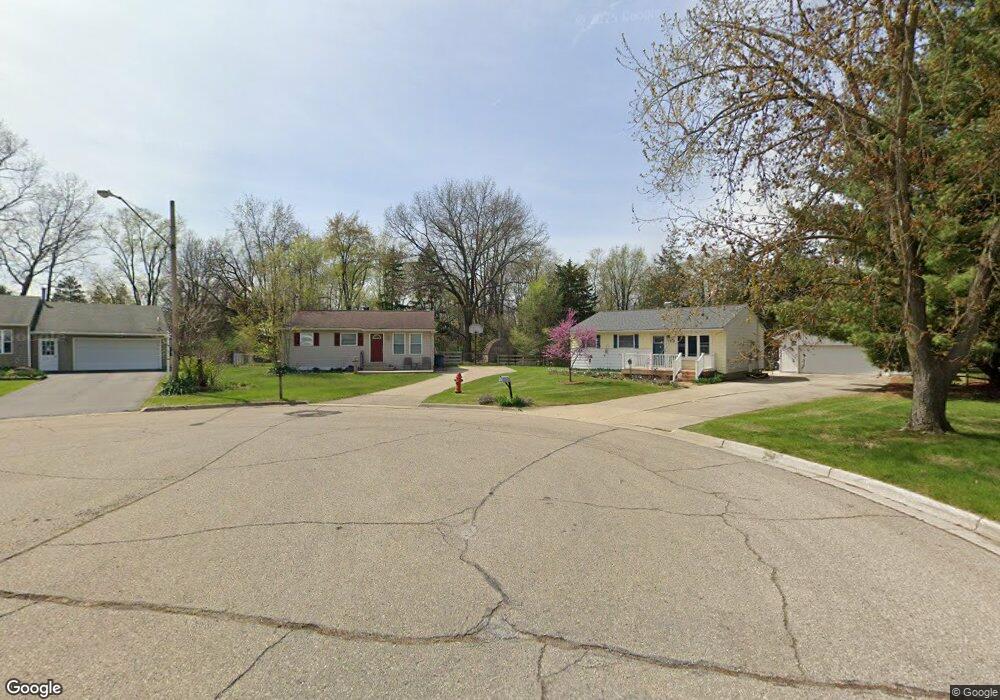
705 Grant Cir Unit Bldg-Unit Linden, MI 48451
Estimated Value: $245,000 - $255,318
3
Beds
2
Baths
1,238
Sq Ft
$203/Sq Ft
Est. Value
About This Home
This home is located at 705 Grant Cir Unit Bldg-Unit, Linden, MI 48451 and is currently estimated at $251,080, approximately $202 per square foot. 705 Grant Cir Unit Bldg-Unit is a home located in Genesee County with nearby schools including Linden Elementary School, Linden Middle School, and Linden High School.
Ownership History
Date
Name
Owned For
Owner Type
Purchase Details
Closed on
Dec 28, 2017
Sold by
Rierson Jason
Bought by
Kirk Chad
Current Estimated Value
Purchase Details
Closed on
Jul 19, 2017
Sold by
Laphem Jason
Bought by
Rierson Jason
Purchase Details
Closed on
Apr 26, 2001
Sold by
Seelye Deborah L and Seelye Deborah Lynn
Bought by
Glavin Kimberly S
Purchase Details
Closed on
Apr 1, 2001
Sold by
Seelye James E
Bought by
Seelye Deborah Lynn and Seelye Deborah L
Create a Home Valuation Report for This Property
The Home Valuation Report is an in-depth analysis detailing your home's value as well as a comparison with similar homes in the area
Home Values in the Area
Average Home Value in this Area
Purchase History
| Date | Buyer | Sale Price | Title Company |
|---|---|---|---|
| Kirk Chad | $140,000 | Select Title Agency | |
| Rierson Jason | $68,000 | Cislo Title Co | |
| Glavin Kimberly S | $106,000 | Metropolitan Title Company | |
| Seelye Deborah Lynn | -- | Metropolitan Title Company |
Source: Public Records
Tax History Compared to Growth
Tax History
| Year | Tax Paid | Tax Assessment Tax Assessment Total Assessment is a certain percentage of the fair market value that is determined by local assessors to be the total taxable value of land and additions on the property. | Land | Improvement |
|---|---|---|---|---|
| 2025 | $3,369 | $123,400 | $0 | $0 |
| 2024 | $1,997 | $103,000 | $0 | $0 |
| 2023 | $2,038 | $93,700 | $0 | $0 |
| 2022 | $3,078 | $80,000 | $0 | $0 |
| 2021 | $2,680 | $72,700 | $0 | $0 |
| 2020 | $1,857 | $69,900 | $0 | $0 |
| 2019 | $1,858 | $59,800 | $0 | $0 |
| 2018 | $2,487 | $59,800 | $0 | $0 |
| 2017 | $3,108 | $55,400 | $0 | $0 |
| 2016 | $3,957 | $51,900 | $0 | $0 |
| 2015 | $2,618 | $46,000 | $0 | $0 |
| 2012 | -- | $36,026 | $36,026 | $0 |
Source: Public Records
Map
Nearby Homes
- 214 Willow Ln
- 628 Riverside Dr
- 4467 Edison Blvd
- 4468 Edison Blvd Unit 50
- 14238 Durant St
- 245 Andrea Ave Unit 33
- 4453 Ford Ave
- 4448 Ford Ave
- The Columbia Plan at Liberty Shores
- The Princeton Plan at Liberty Shores
- The Bloomington Plan at Liberty Shores
- The Berkeley Plan at Liberty Shores
- The Austin Plan at Liberty Shores
- The Hampton Plan at Liberty Shores
- The Oxford Plan at Liberty Shores
- 185 Laura Ln Unit 26
- 14499 Ripley Rd
- 5194 Amelia Earhart Dr
- 5202 Amelia Earhart Dr
- 331 Andrea Ave Unit 63