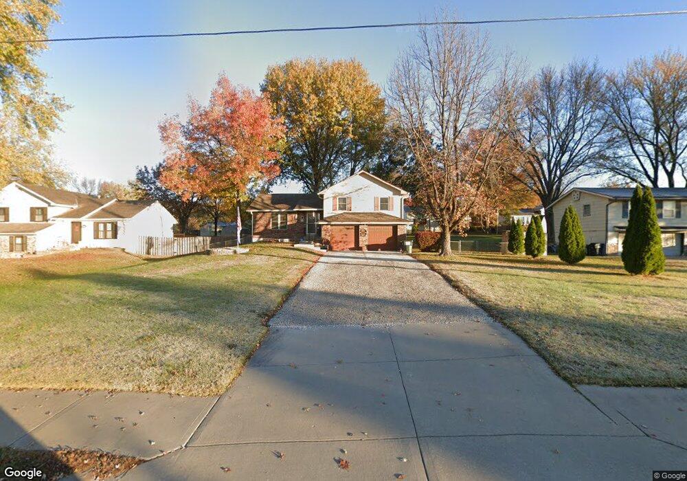
705 Ida St Lansing, KS 66043
Estimated Value: $245,728 - $282,000
3
Beds
2
Baths
1,219
Sq Ft
$214/Sq Ft
Est. Value
About This Home
This home is located at 705 Ida St, Lansing, KS 66043 and is currently estimated at $260,682, approximately $213 per square foot. 705 Ida St is a home located in Leavenworth County with nearby schools including Lansing Elementary School, Lansing Middle 6-8, and Lansing High 9-12.
Ownership History
Date
Name
Owned For
Owner Type
Purchase Details
Closed on
Aug 1, 1999
Bought by
Dixon Ronald A and Dixon Michelle I
Current Estimated Value
Home Financials for this Owner
Home Financials are based on the most recent Mortgage that was taken out on this home.
Original Mortgage
$108,250
Outstanding Balance
$47,176
Interest Rate
7.7%
Mortgage Type
VA
Estimated Equity
$213,506
Create a Home Valuation Report for This Property
The Home Valuation Report is an in-depth analysis detailing your home's value as well as a comparison with similar homes in the area
Home Values in the Area
Average Home Value in this Area
Purchase History
| Date | Buyer | Sale Price | Title Company |
|---|---|---|---|
| Dixon Ronald A | $112,500 | -- |
Source: Public Records
Mortgage History
| Date | Status | Borrower | Loan Amount |
|---|---|---|---|
| Open | Dixon Ronald A | $108,250 | |
| Closed | Dixon Ronald A | $29,000 |
Source: Public Records
Tax History Compared to Growth
Tax History
| Year | Tax Paid | Tax Assessment Tax Assessment Total Assessment is a certain percentage of the fair market value that is determined by local assessors to be the total taxable value of land and additions on the property. | Land | Improvement |
|---|---|---|---|---|
| 2025 | $3,425 | $26,116 | $5,813 | $20,303 |
| 2024 | $3,198 | $25,849 | $4,617 | $21,232 |
| 2023 | $3,198 | $24,855 | $4,617 | $20,238 |
| 2022 | $3,075 | $22,595 | $3,644 | $18,951 |
| 2021 | $2,702 | $18,883 | $3,644 | $15,239 |
| 2020 | $2,733 | $18,791 | $3,644 | $15,147 |
| 2019 | $2,669 | $18,331 | $3,644 | $14,687 |
| 2018 | $2,451 | $16,871 | $3,042 | $13,829 |
| 2017 | $2,407 | $16,534 | $3,042 | $13,492 |
| 2016 | $2,384 | $16,371 | $3,042 | $13,329 |
| 2015 | $2,377 | $16,371 | $3,042 | $13,329 |
| 2014 | $2,259 | $15,893 | $3,042 | $12,851 |
Source: Public Records
Map
Nearby Homes
- 703 Ida St
- 707 Ida St
- 108 Ferncliff St
- 106 Ferncliff St
- 110 Ferncliff St
- 104 Ferncliff St
- 701 Ida St
- 614 Meadowlark Rd
- 616 Meadowlark Rd
- 101 Ethel Ln
- 102 Ferncliff St
- 620 Meadowlark Rd
- 103 Ethel Ln
- 112 Ferncliff St
- 604 Meadowlark Rd
- 624 Meadowlark Rd
- 106 Brookridge St
- 109 Ferncliff St
- 107 Ferncliff St
- 105 Ferncliff St