705 Lions Gate Ln Unit 26 Odenton, MD 21113
Estimated Value: $367,215 - $389,000
3
Beds
3
Baths
2,084
Sq Ft
$179/Sq Ft
Est. Value
About This Home
This home is located at 705 Lions Gate Ln Unit 26, Odenton, MD 21113 and is currently estimated at $373,554, approximately $179 per square foot. 705 Lions Gate Ln Unit 26 is a home located in Anne Arundel County with nearby schools including Odenton Elementary School, Arundel Middle School, and Arundel High School.
Ownership History
Date
Name
Owned For
Owner Type
Purchase Details
Closed on
May 30, 2017
Sold by
Sanchez Matthew J and Sanchez Kathryn J
Bought by
Moriarty Casey C and Havens Ryan M
Current Estimated Value
Home Financials for this Owner
Home Financials are based on the most recent Mortgage that was taken out on this home.
Original Mortgage
$250,381
Outstanding Balance
$209,563
Interest Rate
4.25%
Mortgage Type
FHA
Estimated Equity
$163,991
Purchase Details
Closed on
Jul 13, 2010
Sold by
Kuhn Cherie L
Bought by
Sanchez Mathew J and Sanchez Kathryn J
Purchase Details
Closed on
Jan 24, 2003
Sold by
Baker Joel H
Bought by
Kuhn Cherie L and Merli Jason R
Purchase Details
Closed on
Aug 3, 1998
Sold by
Baker Joel H
Bought by
Baker Joel H
Create a Home Valuation Report for This Property
The Home Valuation Report is an in-depth analysis detailing your home's value as well as a comparison with similar homes in the area
Home Values in the Area
Average Home Value in this Area
Purchase History
| Date | Buyer | Sale Price | Title Company |
|---|---|---|---|
| Moriarty Casey C | $255,000 | Universal Title | |
| Sanchez Mathew J | $264,000 | -- | |
| Kuhn Cherie L | $155,000 | -- | |
| Baker Joel H | -- | -- |
Source: Public Records
Mortgage History
| Date | Status | Borrower | Loan Amount |
|---|---|---|---|
| Open | Moriarty Casey C | $250,381 |
Source: Public Records
Tax History Compared to Growth
Tax History
| Year | Tax Paid | Tax Assessment Tax Assessment Total Assessment is a certain percentage of the fair market value that is determined by local assessors to be the total taxable value of land and additions on the property. | Land | Improvement |
|---|---|---|---|---|
| 2025 | $3,539 | $298,900 | $130,000 | $168,900 |
| 2024 | $3,539 | $282,700 | $0 | $0 |
| 2023 | $3,328 | $266,500 | $0 | $0 |
| 2022 | $2,616 | $250,300 | $110,000 | $140,300 |
| 2021 | $5,742 | $238,667 | $0 | $0 |
| 2020 | $2,708 | $227,033 | $0 | $0 |
| 2019 | $5,114 | $215,400 | $100,000 | $115,400 |
| 2018 | $2,184 | $215,400 | $100,000 | $115,400 |
| 2017 | $2,565 | $215,400 | $0 | $0 |
| 2016 | -- | $217,400 | $0 | $0 |
| 2015 | -- | $217,400 | $0 | $0 |
| 2014 | -- | $217,400 | $0 | $0 |
Source: Public Records
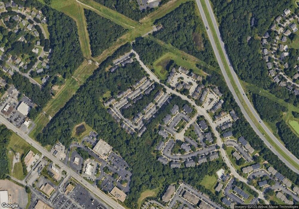
Map
Nearby Homes
- 606 Moonglow Rd
- 602 Moonglow Rd Unit 304
- 654 Lions Gate Ln
- 608 Rolling Hill Walk Unit 304
- 357 Council Oak Dr
- 488 Bruce Ave
- 1536 Winfields Ln
- 1250 Breitwert Ave
- 1525 Winfields Ln
- 206 Heatherbloom Trail
- 1513 Chase Hill Dr
- 208 Branchard Ct
- 363 Baltimore Ave
- 200 Mccamish Ct
- 1552 Ringe Dr
- 560 Edwards Dr
- 530 Rita Dr
- 506 Imperial Square
- 213 Burns Crossing Rd
- 0 Annapolis Rd Unit MDAA2088728
- 705 Lions Gate Ln
- 703 Lions Gate Ln
- 707 Lions Gate Ln
- 701 Lions Gate Ln
- 699 Lions Gate Ln Unit 26
- 699 Lions Gate Ln
- 709 Lions Gate Ln
- 697 Lions Gate Ln
- 711 Lions Gate Ln
- 613 Lions Gate Ln
- 713 Lions Gate Ln
- 615 Lions Gate Ln
- 611 Lions Gate Ln
- 617 Lions Gate Ln
- 609 Lions Gate Ln
- 601 Forest Walk Ln Unit 301
- 601 Forest Walk Ln
- 604 Moonglow Rd Unit 202
- 600 Moonglow Rd Unit 104
- 601 Forest Walk Ln