705 Meadowbrook Dr Lima, OH 45801
Northside Lima NeighborhoodEstimated Value: $121,000 - $154,000
3
Beds
1
Bath
1,200
Sq Ft
$112/Sq Ft
Est. Value
About This Home
This home is located at 705 Meadowbrook Dr, Lima, OH 45801 and is currently estimated at $134,000, approximately $111 per square foot. 705 Meadowbrook Dr is a home located in Allen County with nearby schools including Elida Elementary School, Elida Middle School, and Elida High School.
Ownership History
Date
Name
Owned For
Owner Type
Purchase Details
Closed on
Feb 26, 2007
Sold by
Fisher Craig A and Fisher Craig Allan
Bought by
Vision 2 Investments Llc
Current Estimated Value
Purchase Details
Closed on
Jan 4, 2007
Sold by
Mason Russel L and Mason Marsha A
Bought by
Fisher Craig A and Fisher Tracy S
Purchase Details
Closed on
Nov 16, 1995
Sold by
Ramey Nora
Bought by
Mason Russell and Mason Marsha
Purchase Details
Closed on
Jan 1, 1990
Bought by
Ramey Nora
Create a Home Valuation Report for This Property
The Home Valuation Report is an in-depth analysis detailing your home's value as well as a comparison with similar homes in the area
Home Values in the Area
Average Home Value in this Area
Purchase History
| Date | Buyer | Sale Price | Title Company |
|---|---|---|---|
| Vision 2 Investments Llc | -- | None Available | |
| Fisher Craig A | $54,000 | None Available | |
| Mason Russell | $47,000 | -- | |
| Ramey Nora | -- | -- |
Source: Public Records
Tax History
| Year | Tax Paid | Tax Assessment Tax Assessment Total Assessment is a certain percentage of the fair market value that is determined by local assessors to be the total taxable value of land and additions on the property. | Land | Improvement |
|---|---|---|---|---|
| 2024 | $1,425 | $34,160 | $3,990 | $30,170 |
| 2023 | $1,164 | $24,930 | $2,910 | $22,020 |
| 2022 | $1,180 | $24,930 | $2,910 | $22,020 |
| 2021 | $1,186 | $24,930 | $2,910 | $22,020 |
| 2020 | $1,051 | $20,660 | $2,770 | $17,890 |
| 2019 | $1,051 | $20,660 | $2,770 | $17,890 |
| 2018 | $1,063 | $20,660 | $2,770 | $17,890 |
| 2017 | $909 | $18,590 | $2,770 | $15,820 |
| 2016 | $911 | $18,590 | $2,770 | $15,820 |
| 2015 | $877 | $18,590 | $2,770 | $15,820 |
| 2014 | $877 | $17,260 | $2,660 | $14,600 |
| 2013 | $852 | $17,260 | $2,660 | $14,600 |
Source: Public Records
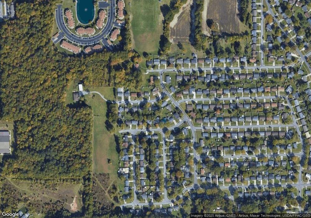
Map
Nearby Homes
- 1317 Virginia Ave
- 1014 Brower Rd
- 1889 N Metcalf St
- 2300 Mandolin Dr
- 1143 Brower Rd
- 1212 Virginia Ave
- 1164 Bahama Dr
- 2371 Mandolin Dr
- 1705 Karen St
- 760 W O'Connor Ave
- 608 W O'Connor Ave
- 645 W O'Connor Ave
- 207 W Lane Ave
- 1883 Brookhaven Dr Unit 2
- 1027 Sherman Ave
- 576 W Ashton Ave
- 557 W Ashton Ave
- 1580 W Robb Ave
- 2113 Kimberly Dr
- 1021 N McDonel St
- 709 Meadowbrook Dr
- 701 Meadowbrook Dr
- 716 Westbrook Dr
- 1865 Brookwood Dr
- 720 Westbrook Dr
- 702 Meadowbrook Dr
- 708 Westbrook Dr
- 724 Westbrook Dr
- 712 Meadowbrook Dr
- 1855 Brookwood Dr
- 719 Meadowbrook Dr
- 716 Meadowbrook Dr
- 690 Meadowbrook Dr
- 715 Westbrook Dr
- 1950 Brookwood Dr
- 720 Meadowbrook Dr
- 723 Meadowbrook Dr
- 719 Westbrook Dr
Your Personal Tour Guide
Ask me questions while you tour the home.