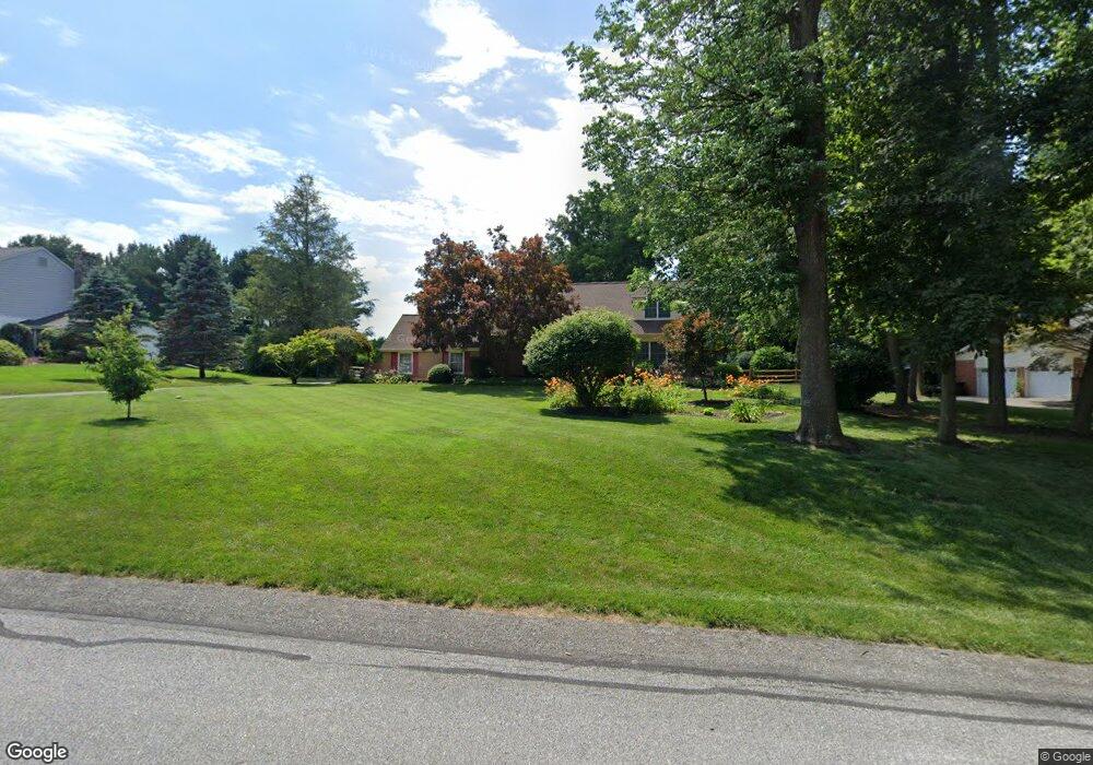
705 Pheasant Run Kennett Square, PA 19348
East Marlborough NeighborhoodEstimated Value: $802,400 - $866,000
4
Beds
3
Baths
3,162
Sq Ft
$264/Sq Ft
Est. Value
About This Home
This home is located at 705 Pheasant Run, Kennett Square, PA 19348 and is currently estimated at $835,100, approximately $264 per square foot. 705 Pheasant Run is a home located in Chester County with nearby schools including Unionville Elementary School, Charles F. Patton Middle School, and Unionville High School.
Ownership History
Date
Name
Owned For
Owner Type
Purchase Details
Closed on
May 2, 1994
Sold by
Houchins Dale S
Bought by
Looby Edmond W and Looby Ellen G
Current Estimated Value
Home Financials for this Owner
Home Financials are based on the most recent Mortgage that was taken out on this home.
Original Mortgage
$125,000
Interest Rate
7.7%
Create a Home Valuation Report for This Property
The Home Valuation Report is an in-depth analysis detailing your home's value as well as a comparison with similar homes in the area
Home Values in the Area
Average Home Value in this Area
Purchase History
| Date | Buyer | Sale Price | Title Company |
|---|---|---|---|
| Looby Edmond W | $215,000 | -- |
Source: Public Records
Mortgage History
| Date | Status | Borrower | Loan Amount |
|---|---|---|---|
| Closed | Looby Edmond W | $125,000 |
Source: Public Records
Tax History
| Year | Tax Paid | Tax Assessment Tax Assessment Total Assessment is a certain percentage of the fair market value that is determined by local assessors to be the total taxable value of land and additions on the property. | Land | Improvement |
|---|---|---|---|---|
| 2025 | $1,841 | $273,360 | $76,230 | $197,130 |
| 2024 | $1,841 | $273,360 | $76,230 | $197,130 |
| 2023 | $1,841 | $273,360 | $76,230 | $197,130 |
| 2022 | $1,531 | $273,360 | $76,230 | $197,130 |
| 2021 | $1,841 | $273,360 | $76,230 | $197,130 |
| 2020 | $1,481 | $273,360 | $76,230 | $197,130 |
| 2019 | $1,791 | $273,360 | $76,230 | $197,130 |
| 2018 | $1,791 | $273,360 | $76,230 | $197,130 |
| 2017 | $1,791 | $273,360 | $76,230 | $197,130 |
| 2016 | $1,084 | $273,360 | $76,230 | $197,130 |
| 2015 | $1,084 | $273,360 | $76,230 | $197,130 |
| 2014 | $1,084 | $273,360 | $76,230 | $197,130 |
Source: Public Records
Map
Nearby Homes
- 458 Mimosa Cir
- 403 Lilac Dr
- 454 Mimosa Cir
- 443 Larkspur Dr
- 347 Astilbe Dr
- 119 Violet Dr
- 108 Petunia Dr
- 101 Violet Dr
- 217 Katsura Dr
- 113 Lantana Dr
- 736 Northbrook Rd Unit L3
- 736 Northbrook Rd Unit L2
- 736 Northbrook Rd Unit S4
- 280 Longview Ln
- 765 Folly Hill Rd
- 312 Riverbirch Cir Unit 802
- 2039-2035 Lenape Unionville Rd
- 104 Taillevent Cir
- 327 E Street Rd
- 824 Waverly Rd
- 703 Pheasant Run
- 713 Denbigh Chase
- 709 Pheasant Run
- 701 Pheasant Run
- 712 Denbigh Chase
- 704 Pheasant Run
- 702 Pheasant Run
- 706 Pheasant Run
- 700 Pheasant Run
- 710 Denbigh Chase
- 711 Denbigh Chase
- 708 Pheasant Run
- 711 Pheasant Run
- 710 Pheasant Run
- 201 E Doe Run Rd
- 200 Partridge Way
- 701 Grouse Ln
- 708 Denbigh Chase
- 709 Denbigh Chase
- 700 Grouse Ln
Your Personal Tour Guide
Ask me questions while you tour the home.