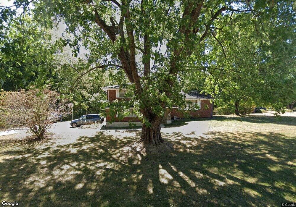
705 Rainbow Dr NE Lancaster, OH 43130
Estimated Value: $318,000 - $353,000
3
Beds
3
Baths
1,658
Sq Ft
$199/Sq Ft
Est. Value
About This Home
This home is located at 705 Rainbow Dr NE, Lancaster, OH 43130 and is currently estimated at $330,506, approximately $199 per square foot. 705 Rainbow Dr NE is a home located in Fairfield County with nearby schools including Medill Elementary School, Thomas Ewing Junior High School, and Lancaster High School.
Ownership History
Date
Name
Owned For
Owner Type
Purchase Details
Closed on
Aug 14, 2013
Sold by
Strain George A
Bought by
Mathias Tammie L
Current Estimated Value
Home Financials for this Owner
Home Financials are based on the most recent Mortgage that was taken out on this home.
Original Mortgage
$65,000
Outstanding Balance
$32,421
Interest Rate
4.25%
Mortgage Type
New Conventional
Estimated Equity
$298,085
Purchase Details
Closed on
Nov 30, 1993
Sold by
Strain George A
Bought by
Strain George A
Create a Home Valuation Report for This Property
The Home Valuation Report is an in-depth analysis detailing your home's value as well as a comparison with similar homes in the area
Home Values in the Area
Average Home Value in this Area
Purchase History
| Date | Buyer | Sale Price | Title Company |
|---|---|---|---|
| Mathias Tammie L | $65,000 | None Available | |
| Strain George A | -- | -- |
Source: Public Records
Mortgage History
| Date | Status | Borrower | Loan Amount |
|---|---|---|---|
| Open | Mathias Tammie L | $65,000 |
Source: Public Records
Tax History Compared to Growth
Tax History
| Year | Tax Paid | Tax Assessment Tax Assessment Total Assessment is a certain percentage of the fair market value that is determined by local assessors to be the total taxable value of land and additions on the property. | Land | Improvement |
|---|---|---|---|---|
| 2024 | $7,708 | $79,380 | $15,310 | $64,070 |
| 2023 | $3,191 | $79,380 | $15,310 | $64,070 |
| 2022 | $3,231 | $79,380 | $15,310 | $64,070 |
| 2021 | $2,859 | $68,310 | $15,310 | $53,000 |
| 2020 | $2,748 | $68,310 | $15,310 | $53,000 |
| 2019 | $2,622 | $68,310 | $15,310 | $53,000 |
| 2018 | $2,252 | $55,440 | $17,010 | $38,430 |
| 2017 | $2,253 | $55,440 | $17,010 | $38,430 |
| 2016 | $2,089 | $55,440 | $17,010 | $38,430 |
| 2015 | $2,089 | $53,770 | $17,010 | $36,760 |
| 2014 | $1,993 | $53,770 | $17,010 | $36,760 |
| 2013 | $1,993 | $53,770 | $17,010 | $36,760 |
Source: Public Records
Map
Nearby Homes
- 715 Sherman Bluff Way Unit 14715
- 1801 Pleasantview Dr NE
- 2149 Pleasantview Dr NE
- 1916 Country Place
- 1700 Rosewood Dr NE
- 173 Lakeview Dr NE
- 0 Old Millersport Rd NE Unit Lot 10 225033491
- 0 Old Millersport Rd NE Unit 225010386
- 0 Old Millersport Rd NE Unit Tract 8 224028101
- 2444 Sheridan Dr
- 1189 Ridge Rd NE
- 1760 Rainbow Dr NE
- 0 Tschopp Rd NE Unit Lot 33 225027324
- 0 Tschopp Rd NE Unit Lot 17 225027320
- 1799 Declaration Dr W
- 980 Coonpath Rd NE
- 0 Declaration Dr W Unit 219044159
- 2865 Stringtown Rd NW
- 1523 Fuller Ct
- 0 Coonpath Rd NW Unit Tract 7 224028097
- 1955 Sunset Strip St NE
- 1935 Sunset Strip St NE
- 1949 Lancaster Newark Rd NE
- 1940 Sunset Strip St NE
- 1915 Sunset Strip St NE
- 1945 Lancaster Newark Rd NE
- 1931 Lancaster Newark Rd NE
- 1914 Sunset Strip St NE
- 2125 William T Cir
- 2127 William T Cir
- 2117 William T Cir
- 2117 William T Cir Unit 7-2117
- 2115 William T Cir
- 700 Rainbow Dr NE
- 795 Rainbow Dr NE
- 1875 Lancaster Newark Rd NE
- 2121 William T Cir
- 660 Rainbow Dr NE
- 1900 Sunset Strip St NE
- 2123 William T Cir