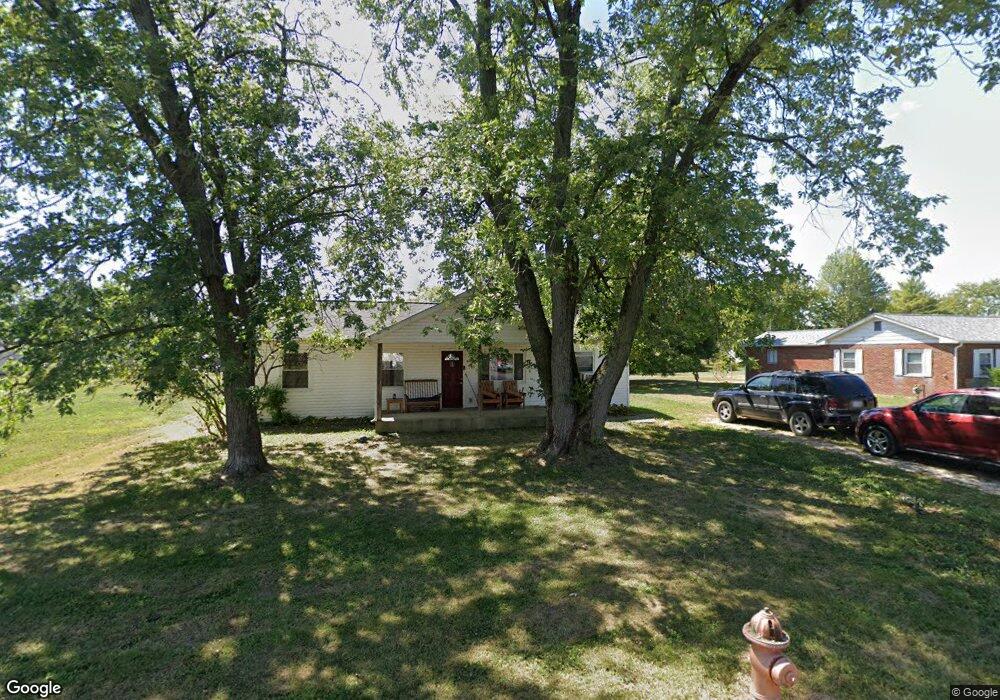
705 Rumsey Rd Columbus, OH 43207
Obetz-Lockbourne NeighborhoodEstimated Value: $129,000 - $184,000
3
Beds
1
Bath
1,056
Sq Ft
$143/Sq Ft
Est. Value
About This Home
This home is located at 705 Rumsey Rd, Columbus, OH 43207 and is currently estimated at $151,363, approximately $143 per square foot. 705 Rumsey Rd is a home located in Franklin County with nearby schools including Parsons Elementary School, Buckeye Middle School, and Marion-Franklin High School.
Ownership History
Date
Name
Owned For
Owner Type
Purchase Details
Closed on
Oct 22, 2015
Sold by
City Of Columbus Ohio
Bought by
Baldwin Investments Llc
Current Estimated Value
Purchase Details
Closed on
May 6, 2015
Sold by
Leonard Edward
Bought by
City Of Columbus
Purchase Details
Closed on
Nov 29, 1998
Sold by
Stewart Gerald Leroy and Stewart Rita A
Bought by
Stewart Pam Dee
Purchase Details
Closed on
Nov 13, 1998
Sold by
Estate Of Betty Jane Stewart
Bought by
Stewart Gerald Leroy and Stewart Ronald Edward
Purchase Details
Closed on
Dec 13, 1973
Bought by
Stewart Betty
Create a Home Valuation Report for This Property
The Home Valuation Report is an in-depth analysis detailing your home's value as well as a comparison with similar homes in the area
Home Values in the Area
Average Home Value in this Area
Purchase History
| Date | Buyer | Sale Price | Title Company |
|---|---|---|---|
| Baldwin Investments Llc | -- | Attorney | |
| City Of Columbus | -- | None Available | |
| Stewart Pam Dee | $37,800 | -- | |
| Stewart Gerald Leroy | -- | -- | |
| Stewart Betty | -- | -- |
Source: Public Records
Tax History
| Year | Tax Paid | Tax Assessment Tax Assessment Total Assessment is a certain percentage of the fair market value that is determined by local assessors to be the total taxable value of land and additions on the property. | Land | Improvement |
|---|---|---|---|---|
| 2025 | $3,896 | $36,160 | $22,020 | $14,140 |
| 2024 | $3,896 | $36,160 | $22,020 | $14,140 |
| 2023 | $3,090 | $56,805 | $22,015 | $34,790 |
| 2022 | $3,441 | $30,520 | $16,380 | $14,140 |
| 2021 | $1,625 | $30,520 | $16,380 | $14,140 |
| 2020 | $1,627 | $30,520 | $16,380 | $14,140 |
| 2019 | $1,898 | $30,520 | $16,380 | $14,140 |
| 2018 | $947 | $30,520 | $16,380 | $14,140 |
| 2017 | $1,947 | $30,520 | $16,380 | $14,140 |
| 2016 | $1,630 | $16,740 | $4,380 | $12,360 |
| 2015 | -- | $16,740 | $4,380 | $12,360 |
| 2014 | $1,009 | $16,740 | $4,380 | $12,360 |
| 2013 | $1,584 | $17,640 | $4,620 | $13,020 |
Source: Public Records
Map
Nearby Homes
- 691 Colton Rd
- 0 Williams Rd
- 780 Basswood Rd
- 860 Basswood Rd
- 3302 Hilock Place
- 3251 Hilock Ct
- 1633-1635 E Greenway Ave
- 3608 S Champion Ave
- 884 Bruckner Rd
- 1127 Rumsey Rd
- 3380 Parsons Ave
- 562 Ashwood Rd
- 435 Carolann Ave
- 1118 Maplewood Rd
- 3531 Lockbourne Rd
- 1138 Hilock Rd Unit 35
- 525 Ashwood Rd
- 460 Coulter Ave
- 577 Barcher Rd
- 631 Harland Dr
Your Personal Tour Guide
Ask me questions while you tour the home.