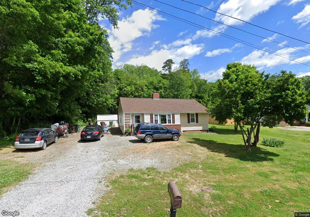
705 Summit Rd High Point, NC 27265
Greater High Point NeighborhoodEstimated Value: $178,000 - $200,000
3
Beds
1
Bath
1,182
Sq Ft
$161/Sq Ft
Est. Value
About This Home
This home is located at 705 Summit Rd, High Point, NC 27265 and is currently estimated at $189,766, approximately $160 per square foot. 705 Summit Rd is a home located in Guilford County with nearby schools including Montlieu Academy of Technology, Welborn Academy of Science & Technology, and T.W. Andrews High School.
Ownership History
Date
Name
Owned For
Owner Type
Purchase Details
Closed on
Oct 17, 2014
Sold by
King Dennis Hammond
Bought by
King Wanda Jean
Current Estimated Value
Home Financials for this Owner
Home Financials are based on the most recent Mortgage that was taken out on this home.
Original Mortgage
$40,800
Outstanding Balance
$31,462
Interest Rate
4.26%
Mortgage Type
New Conventional
Estimated Equity
$158,304
Create a Home Valuation Report for This Property
The Home Valuation Report is an in-depth analysis detailing your home's value as well as a comparison with similar homes in the area
Home Values in the Area
Average Home Value in this Area
Purchase History
| Date | Buyer | Sale Price | Title Company |
|---|---|---|---|
| King Wanda Jean | $39,000 | None Available |
Source: Public Records
Mortgage History
| Date | Status | Borrower | Loan Amount |
|---|---|---|---|
| Open | King Wanda Jean | $40,800 |
Source: Public Records
Tax History
| Year | Tax Paid | Tax Assessment Tax Assessment Total Assessment is a certain percentage of the fair market value that is determined by local assessors to be the total taxable value of land and additions on the property. | Land | Improvement |
|---|---|---|---|---|
| 2025 | $1,389 | $100,800 | $30,000 | $70,800 |
| 2024 | $1,389 | $100,800 | $30,000 | $70,800 |
| 2023 | $1,389 | $100,800 | $30,000 | $70,800 |
| 2022 | $1,359 | $100,800 | $30,000 | $70,800 |
| 2021 | $1,031 | $74,800 | $25,000 | $49,800 |
| 2020 | $1,031 | $74,800 | $25,000 | $49,800 |
| 2019 | $1,031 | $74,800 | $0 | $0 |
| 2018 | $1,026 | $74,800 | $0 | $0 |
| 2017 | $1,026 | $74,800 | $0 | $0 |
| 2016 | $961 | $68,500 | $0 | $0 |
| 2015 | $966 | $68,500 | $0 | $0 |
| 2014 | $491 | $68,500 | $0 | $0 |
Source: Public Records
Map
Nearby Homes
- 423 Dogwood Cir
- 1227 Greensboro Rd
- 211 Spencer St
- 122 Orville Dr
- 2373 Dukes Hollow Ct
- 3226 Derby Cir
- 120 Orville Dr
- 1456 London Dr
- 2429 Dukes Hollow Ct
- 2700 Edenridge Dr
- 113 Red Plum Ln
- 2101 Arbrook Ln
- 1217 Lakeview Heights Dr
- 2606 Wexford Place
- 2462 Dukes Hollow Ct
- 2674 Splitbrooke Dr
- 2706 Edenridge Dr
- 1451 Finsbury Ln
- 1746 Stoneybrook Dr
- 2507 E Lexington Ave
Your Personal Tour Guide
Ask me questions while you tour the home.