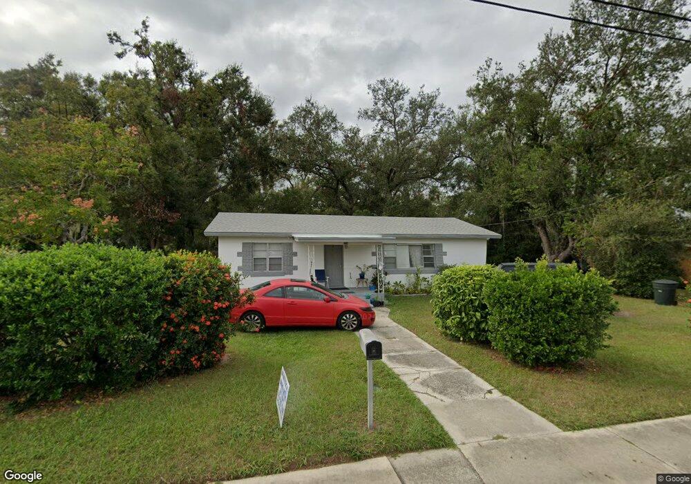
705 Waldon Ave Bartow, FL 33830
Estimated Value: $141,000 - $198,000
3
Beds
1
Bath
1,092
Sq Ft
$157/Sq Ft
Est. Value
About This Home
This home is located at 705 Waldon Ave, Bartow, FL 33830 and is currently estimated at $171,813, approximately $157 per square foot. 705 Waldon Ave is a home located in Polk County with nearby schools including Spessard L Holland Elementary School, Bartow Elementary Academy, and Bartow Middle School.
Ownership History
Date
Name
Owned For
Owner Type
Purchase Details
Closed on
Sep 11, 2018
Sold by
Clark Robin A and Clark Sonia A
Bought by
Clark Robin A and Clark Sonia A
Current Estimated Value
Home Financials for this Owner
Home Financials are based on the most recent Mortgage that was taken out on this home.
Original Mortgage
$85,500
Outstanding Balance
$74,568
Interest Rate
4.6%
Estimated Equity
$97,245
Purchase Details
Closed on
Sep 5, 2008
Sold by
Deutsche Bank National Trust Co
Bought by
Clark Robin A
Purchase Details
Closed on
Dec 19, 2007
Sold by
Jones Stanley and Case #2007-Ca-1118-07
Bought by
Deutsche Bank National Trust Co and Ameriquest Mortgage Securities Inc Asset
Purchase Details
Closed on
Sep 28, 2001
Sold by
Woodruff Hester
Bought by
Jones Stanley and Jones Sharon
Create a Home Valuation Report for This Property
The Home Valuation Report is an in-depth analysis detailing your home's value as well as a comparison with similar homes in the area
Home Values in the Area
Average Home Value in this Area
Purchase History
| Date | Buyer | Sale Price | Title Company |
|---|---|---|---|
| Clark Robin A | -- | Equity Title Llc | |
| Clark Robin A | $52,000 | Lsc Title Inc | |
| Deutsche Bank National Trust Co | -- | None Available | |
| Jones Stanley | $19,000 | -- |
Source: Public Records
Mortgage History
| Date | Status | Borrower | Loan Amount |
|---|---|---|---|
| Open | Clark Robin A | $85,500 | |
| Previous Owner | Jones Stanley | $17,500 |
Source: Public Records
Tax History
| Year | Tax Paid | Tax Assessment Tax Assessment Total Assessment is a certain percentage of the fair market value that is determined by local assessors to be the total taxable value of land and additions on the property. | Land | Improvement |
|---|---|---|---|---|
| 2025 | $1,711 | $63,787 | -- | -- |
| 2024 | $1,581 | $57,988 | -- | -- |
| 2023 | $1,581 | $52,716 | $0 | $0 |
| 2022 | $1,308 | $47,924 | $0 | $0 |
| 2021 | $920 | $43,567 | $0 | $0 |
| 2020 | $787 | $46,120 | $6,734 | $39,386 |
| 2018 | $674 | $34,887 | $6,461 | $28,426 |
| 2017 | $609 | $29,756 | $0 | $0 |
| 2016 | $574 | $27,145 | $0 | $0 |
Source: Public Records
Map
Nearby Homes
- 0 Polk St W
- 929 Polk St
- 533 Waldon Ave
- 1040 Austin St
- 1060 Austin St
- 0 Florida 60 Unit MFRL4960551
- 1230 Polk St
- 810 N Maple Ave
- 640 Forrest Dr
- 830 Shady Ln
- 650 Shady Ln
- 0 N Maple Ave
- 824 Allison Place
- 295 S Carpenter Ave
- 634 Formosa Place
- 360 W Tyler St
- 435 Lucille St
- 135 S Central Ave
- 475 W Ethelene St
- 1650 N Tate Ave
Your Personal Tour Guide
Ask me questions while you tour the home.