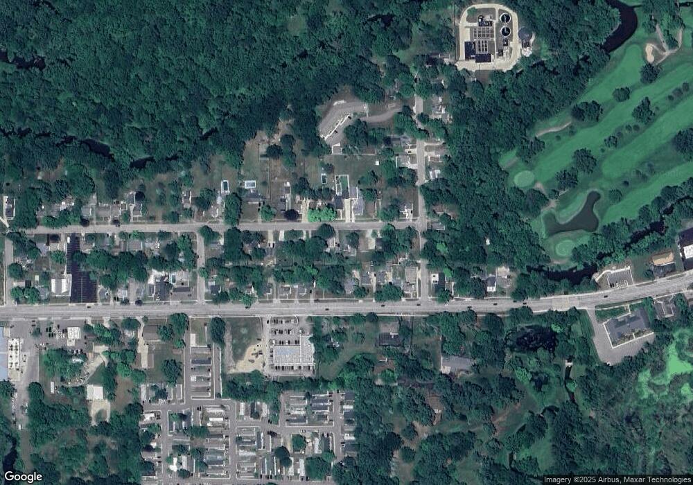
705 Williams St Williamston, MI 48895
Estimated Value: $212,596 - $231,000
3
Beds
1
Bath
1,475
Sq Ft
$150/Sq Ft
Est. Value
About This Home
This home is located at 705 Williams St, Williamston, MI 48895 and is currently estimated at $221,649, approximately $150 per square foot. 705 Williams St is a home located in Ingham County with nearby schools including Williamston Discovery Elementary School, Williamston Explorer Elementary School, and Williamston Middle School.
Ownership History
Date
Name
Owned For
Owner Type
Purchase Details
Closed on
Feb 25, 2019
Sold by
Dolley Alan M and Dolley Jean E
Bought by
Robinson Jonathan M
Current Estimated Value
Home Financials for this Owner
Home Financials are based on the most recent Mortgage that was taken out on this home.
Original Mortgage
$147,283
Outstanding Balance
$129,487
Interest Rate
4.4%
Mortgage Type
FHA
Estimated Equity
$92,162
Purchase Details
Closed on
Jan 13, 1995
Sold by
Yarmak Robert and Yarmak Robyn R
Bought by
Dolley Alan M and Dolley Jean E
Create a Home Valuation Report for This Property
The Home Valuation Report is an in-depth analysis detailing your home's value as well as a comparison with similar homes in the area
Home Values in the Area
Average Home Value in this Area
Purchase History
| Date | Buyer | Sale Price | Title Company |
|---|---|---|---|
| Robinson Jonathan M | $150,000 | Ata National Title Group Llc | |
| Dolley Alan M | $80,000 | -- |
Source: Public Records
Mortgage History
| Date | Status | Borrower | Loan Amount |
|---|---|---|---|
| Open | Robinson Jonathan M | $147,283 |
Source: Public Records
Tax History Compared to Growth
Tax History
| Year | Tax Paid | Tax Assessment Tax Assessment Total Assessment is a certain percentage of the fair market value that is determined by local assessors to be the total taxable value of land and additions on the property. | Land | Improvement |
|---|---|---|---|---|
| 2025 | $3,984 | $91,800 | $21,200 | $70,600 |
| 2024 | $3,726 | $73,900 | $24,700 | $49,200 |
| 2023 | $3,726 | $69,800 | $23,000 | $46,800 |
| 2022 | $3,548 | $61,400 | $23,000 | $38,400 |
| 2021 | $3,678 | $64,500 | $19,300 | $45,200 |
| 2020 | $3,570 | $62,000 | $19,300 | $42,700 |
| 2019 | $2,463 | $58,200 | $16,700 | $41,500 |
| 2018 | $2,419 | $56,400 | $16,200 | $40,200 |
| 2017 | $2,313 | $53,700 | $14,200 | $39,500 |
| 2016 | -- | $50,200 | $12,500 | $37,700 |
| 2015 | -- | $42,800 | $20,066 | $22,734 |
| 2014 | -- | $40,700 | $23,410 | $17,290 |
Source: Public Records
Map
Nearby Homes
- 540 W Grand River Ave
- 875 W Grand River Ave Unit 35
- 875 W Grand River Ave Unit 29
- 131 W South St
- 133 E Riverside St
- 1106 Cobblestone Ct
- 1532 Lytell Johne's Path #77
- 1544 Nottingham Forest Trail #63
- 402 Crossman St
- 1340 E Grand River Rd
- 529 High St
- 610 E Church St
- 0 Beechwood Dr
- 3620 Zimmer Rd
- 880 Holly Ct
- 0 Linn Rd Unit 291462
- 2095 Mitchell Rd
- 451 Red Cedar Blvd
- 482 Red Cedar Blvd
- 526 Red Cedar Blvd
- 705 Williams St
- 627 Williams St
- 715 Williams St
- 634 W Grand River Ave
- 623 Williams St
- 624 W Grand River Ave
- 624 W Grand
- 700 W Grand River Ave
- 700 W Grand
- 708 Williams St
- 702 Williams St
- 618 W Grand River Ave
- 712 Williams St
- 719 Williams St
- 628 Williams St
- 712 W Grand River Ave
- 716 Williams St
- 135 Mccormick St
- 127 Mccormick St
- 127 McCorck
