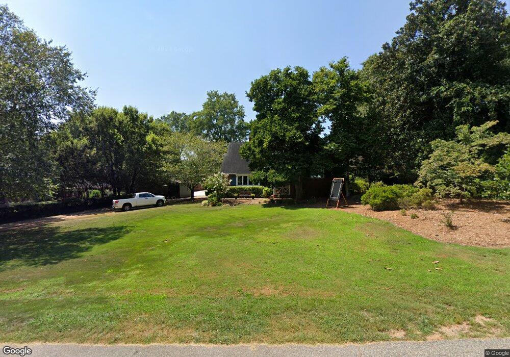
705 Windsor Dr Anderson, SC 29621
Estimated Value: $355,866 - $396,000
3
Beds
3
Baths
2,953
Sq Ft
$126/Sq Ft
Est. Value
About This Home
This home is located at 705 Windsor Dr, Anderson, SC 29621 and is currently estimated at $370,967, approximately $125 per square foot. 705 Windsor Dr is a home located in Anderson County with nearby schools including Calhoun Academy of the Arts, McCants Middle School, and T.L. Hanna High School.
Ownership History
Date
Name
Owned For
Owner Type
Purchase Details
Closed on
Dec 14, 2007
Sold by
Earley Philip T and Earley Wendy C
Bought by
Epps William Norman and Epps Laurie Ann
Current Estimated Value
Home Financials for this Owner
Home Financials are based on the most recent Mortgage that was taken out on this home.
Original Mortgage
$204,197
Interest Rate
5.78%
Mortgage Type
VA
Purchase Details
Closed on
Nov 27, 2000
Sold by
Oehmig Carl G
Bought by
Earley Phillip T
Create a Home Valuation Report for This Property
The Home Valuation Report is an in-depth analysis detailing your home's value as well as a comparison with similar homes in the area
Home Values in the Area
Average Home Value in this Area
Purchase History
| Date | Buyer | Sale Price | Title Company |
|---|---|---|---|
| Epps William Norman | $199,900 | -- | |
| Earley Phillip T | $204,000 | -- | |
| Wright Robert B | $89,800 | -- |
Source: Public Records
Mortgage History
| Date | Status | Borrower | Loan Amount |
|---|---|---|---|
| Previous Owner | Epps William Norman | $204,197 |
Source: Public Records
Tax History
| Year | Tax Paid | Tax Assessment Tax Assessment Total Assessment is a certain percentage of the fair market value that is determined by local assessors to be the total taxable value of land and additions on the property. | Land | Improvement |
|---|---|---|---|---|
| 2024 | $1,925 | $8,950 | $1,060 | $7,890 |
| 2023 | $1,935 | $8,950 | $1,060 | $7,890 |
| 2022 | $1,914 | $8,950 | $1,060 | $7,890 |
| 2021 | $1,748 | $7,610 | $800 | $6,810 |
| 2020 | $1,744 | $7,610 | $800 | $6,810 |
| 2019 | $1,744 | $7,610 | $800 | $6,810 |
| 2018 | $1,760 | $7,610 | $800 | $6,810 |
| 2017 | -- | $7,610 | $800 | $6,810 |
| 2016 | $1,835 | $7,870 | $800 | $7,070 |
| 2015 | $1,857 | $7,870 | $800 | $7,070 |
| 2014 | $1,853 | $7,870 | $800 | $7,070 |
Source: Public Records
Map
Nearby Homes
- 315 Brighton Rd
- LOt 6 College Ave
- 501 North St
- 117 Postelle Dr
- 611 Heyward Rd
- 401 Berkshire Hill
- 305 E Broad St
- 213 Ligon Dr
- Lot 1-B E Greenville St
- 208 Cater St
- 504 Tilman Ct
- 609 Bonham Ct
- 408 Moultrie Square
- 2010 Boulevard Heights
- 1603 N Main St
- 1429 E Calhoun St
- 427 E Orr St
- 800 Beachwood Ave
- 1406 Pioneer Dr
- 2506 Poplar Ln
- 1225 Springdale Rd
- 1223 Springdale Rd
- 706 College Ave
- 1227 Springdale Rd
- 708 College Ave
- 709 Windsor Dr
- 706 Windsor Dr
- 710 College Ave
- 702 Windsor Dr
- 710 Windsor Dr
- 704 College Ave
- 700 Windsor Dr
- 712 College Ave
- 711 Windsor Dr
- 714 College Ave
- 1224 Springdale Rd
- 1226 Springdale Rd
- 1118 Springdale Rd
- 1138 Springdale Rd
- 1110 Springdale Rd
Your Personal Tour Guide
Ask me questions while you tour the home.