Estimated Value: $493,000
3
Beds
2
Baths
1,674
Sq Ft
$295/Sq Ft
Est. Value
About This Home
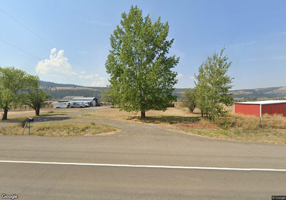
This home is located at 70514 Highway 82, Elgin, OR 97827 and is currently priced at $493,000, approximately $294 per square foot. 70514 Highway 82 is a home located in Union County with nearby schools including Stella Mayfield Elementary School and Elgin High School.
Ownership History
Date
Name
Owned For
Owner Type
Purchase Details
Closed on
Dec 2, 2021
Sold by
Burgess Chad and Burgess Amanda
Bought by
Burgess Amanda
Current Estimated Value
Home Financials for this Owner
Home Financials are based on the most recent Mortgage that was taken out on this home.
Original Mortgage
$329,800
Outstanding Balance
$301,995
Interest Rate
3.09%
Mortgage Type
New Conventional
Purchase Details
Closed on
Sep 9, 2019
Sold by
Evans Tonya K and Evans James R
Bought by
Burgess Chad and Burgess Amanda
Home Financials for this Owner
Home Financials are based on the most recent Mortgage that was taken out on this home.
Original Mortgage
$330,600
Interest Rate
3.7%
Mortgage Type
New Conventional
Purchase Details
Closed on
Oct 1, 2013
Sold by
Case Leeann and Evans Tonya
Bought by
Evans Tonya
Create a Home Valuation Report for This Property
The Home Valuation Report is an in-depth analysis detailing your home's value as well as a comparison with similar homes in the area
Purchase History
| Date | Buyer | Sale Price | Title Company |
|---|---|---|---|
| Burgess Amanda | -- | Eastern Oregon Title | |
| Burgess Chad | $348,000 | Eastern Oregon Title Inc | |
| Evans Tonya | -- | None Available |
Source: Public Records
Mortgage History
| Date | Status | Borrower | Loan Amount |
|---|---|---|---|
| Open | Burgess Amanda | $329,800 | |
| Previous Owner | Burgess Chad | $330,600 |
Source: Public Records
Tax History
| Year | Tax Paid | Tax Assessment Tax Assessment Total Assessment is a certain percentage of the fair market value that is determined by local assessors to be the total taxable value of land and additions on the property. | Land | Improvement |
|---|---|---|---|---|
| 2025 | $1,721 | $155,306 | $10,036 | $145,270 |
| 2024 | $1,672 | $150,890 | $9,850 | $141,040 |
| 2023 | $1,625 | $146,630 | $9,690 | $136,940 |
| 2022 | $1,579 | $142,501 | $9,542 | $132,959 |
| 2021 | $1,542 | $139,161 | $10,074 | $129,087 |
| 2020 | $1,499 | $135,245 | $9,917 | $125,328 |
| 2019 | $1,457 | $131,443 | $9,765 | $121,678 |
| 2018 | $1,416 | $127,751 | $9,617 | $118,134 |
| 2017 | $1,476 | $124,168 | $9,474 | $114,694 |
| 2016 | $1,437 | $120,689 | $9,335 | $111,354 |
Source: Public Records
Map
Nearby Homes
- 69634 Hallgarth Rd
- 68881 Indian Creek Rd
- 1840 Cedar St
- 1951 Alder St
- 0000 Oregon 204
- TBD Oregon 204
- 1290 Baltimore St
- 265 N 4th Ave
- 1380 Detroit St
- 737 N 15th Ave
- 1670 Palmer St
- 900 N 15th Ave
- 902 N 15th Ave
- 953 N 15th Ave
- 1003 N 15th Ave
- 71564 Palmer Junction Rd
- 71459 Valley View Rd
- 0 Hindman Rd Unit 175201047
- 76014 Oregon 82
- 610 Ruckman Ave
- 70514 Highway 82
- 70612 Highway 82
- 70668 Highway 82
- 70698 Highway 82
- 70792 Highway 82
- 0 Oregon 82 Unit 18503916
- 0 Oregon 82 Unit 8072864
- 0 Oregon 82 Unit 9036554
- 0 Oregon 82 Unit 10011604
- 0 Oregon 82 Unit 11563304
- 0 Oregon 82
- 70920 Highway 82
- 69654 Hallgarth Rd
- 71005 Highway 82
- 71005 Highway 82
- 810 Inkwood St
- 71046 Highway 82
- 850 Inkwood St
- 68892 Indian Creek Rd
Your Personal Tour Guide
Ask me questions while you tour the home.