7053 Homestead Cir Hixson, TN 37343
Estimated Value: $464,000 - $568,000
4
Beds
4
Baths
2,657
Sq Ft
$192/Sq Ft
Est. Value
About This Home
This home is located at 7053 Homestead Cir, Hixson, TN 37343 and is currently estimated at $508,821, approximately $191 per square foot. 7053 Homestead Cir is a home located in Hamilton County with nearby schools including Ganns Middle Valley Elementary School, Hixson Middle School, and Hixson High School.
Ownership History
Date
Name
Owned For
Owner Type
Purchase Details
Closed on
Oct 14, 2005
Sold by
Mcguire Jeffrey
Bought by
Edging Boyd R and Edging Rebecca S
Current Estimated Value
Home Financials for this Owner
Home Financials are based on the most recent Mortgage that was taken out on this home.
Original Mortgage
$250,000
Outstanding Balance
$137,582
Interest Rate
6.21%
Mortgage Type
Fannie Mae Freddie Mac
Estimated Equity
$371,239
Purchase Details
Closed on
Nov 22, 2004
Sold by
Dl Enterprises
Bought by
Mcguire Jeffrey
Create a Home Valuation Report for This Property
The Home Valuation Report is an in-depth analysis detailing your home's value as well as a comparison with similar homes in the area
Home Values in the Area
Average Home Value in this Area
Purchase History
| Date | Buyer | Sale Price | Title Company |
|---|---|---|---|
| Edging Boyd R | $292,000 | Northgate Title Escrow Inc | |
| Mcguire Jeffrey | $45,000 | Northgate Title Escrow Inc |
Source: Public Records
Mortgage History
| Date | Status | Borrower | Loan Amount |
|---|---|---|---|
| Open | Edging Boyd R | $250,000 |
Source: Public Records
Tax History Compared to Growth
Tax History
| Year | Tax Paid | Tax Assessment Tax Assessment Total Assessment is a certain percentage of the fair market value that is determined by local assessors to be the total taxable value of land and additions on the property. | Land | Improvement |
|---|---|---|---|---|
| 2024 | $1,798 | $80,350 | $0 | $0 |
| 2023 | $1,807 | $80,350 | $0 | $0 |
| 2022 | $1,807 | $80,350 | $0 | $0 |
| 2021 | $1,807 | $80,350 | $0 | $0 |
| 2020 | $1,867 | $67,175 | $0 | $0 |
| 2019 | $1,867 | $67,175 | $0 | $0 |
| 2018 | $1,867 | $67,175 | $0 | $0 |
| 2017 | $1,867 | $67,175 | $0 | $0 |
| 2016 | $1,920 | $0 | $0 | $0 |
| 2015 | $1,920 | $69,125 | $0 | $0 |
| 2014 | $1,920 | $0 | $0 | $0 |
Source: Public Records
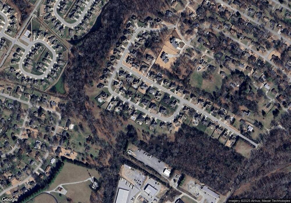
Map
Nearby Homes
- 1303 Neyland Cir
- 1046 Omaha Cir
- 2012 S Gold Point Cir
- 974 Bluff Ledge Trail
- 450 Shannon Dr
- 1155 S Crestfield Ln
- 6506 Middle Valley Rd
- 8665 Reba Ln
- 1917 Chadwick Ct
- 1157 Boy Scout Rd
- 420 Shannon Dr
- 7155 Crestfield Cir
- 7217 Fairington Cir
- 7211 Fairington Cir
- 8692 Arbutus Dr
- 1695 E Boy Scout Rd
- 1315 Coffelt Rd
- 920 Carrie Ln
- 1117 Fieldstone Dr
- 7770 Lenox Trace Dr
- 7061 Homestead Cir
- 7045 Homestead Cir
- 1454 Courtland Dr
- 1466 Courtland Dr
- 1442 Courtland Dr
- 7065 Homestead Cir
- 7056 Homestead Cir
- 7050 Homestead Cir
- 7060 Homestead Cir
- 1430 Courtland Dr
- 1478 Courtland Dr
- 7044 Homestead Cir
- 7029 Homestead Cir
- 7069 Homestead Cir
- 7036 Homestead Cir
- 7036 Homestead Cir Unit 44
- 7064 Homestead Cir
- 1451 Courtland Dr
- 1451 Courtland Dr Unit 11
- 1416 Courtland Dr