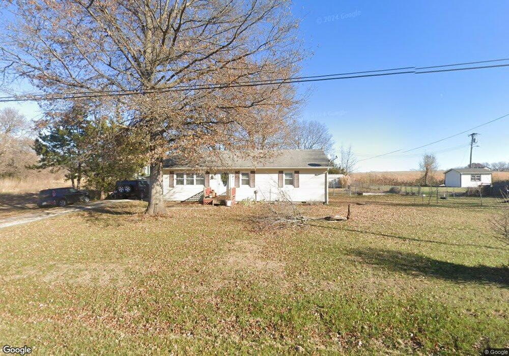
7055 SW Highway F Trimble, MO 64492
Estimated Value: $194,712 - $240,000
3
Beds
1
Bath
864
Sq Ft
$256/Sq Ft
Est. Value
About This Home
This home is located at 7055 SW Highway F, Trimble, MO 64492 and is currently estimated at $221,178, approximately $255 per square foot. 7055 SW Highway F is a home with nearby schools including Ellis Elementary School, Clinton County R-III Middle School, and Plattsburg High School.
Ownership History
Date
Name
Owned For
Owner Type
Purchase Details
Closed on
Jun 26, 2023
Sold by
Querrey Robert
Bought by
Eagen Haley and Eagen Katelyn
Current Estimated Value
Home Financials for this Owner
Home Financials are based on the most recent Mortgage that was taken out on this home.
Original Mortgage
$68,000
Outstanding Balance
$66,311
Interest Rate
6.57%
Mortgage Type
New Conventional
Estimated Equity
$154,867
Purchase Details
Closed on
Aug 1, 1999
Bought by
Eagen Carl P and Eagen Susan J
Create a Home Valuation Report for This Property
The Home Valuation Report is an in-depth analysis detailing your home's value as well as a comparison with similar homes in the area
Home Values in the Area
Average Home Value in this Area
Purchase History
| Date | Buyer | Sale Price | Title Company |
|---|---|---|---|
| Eagen Haley | -- | Stewart Title | |
| Eagen Carl P | -- | -- |
Source: Public Records
Mortgage History
| Date | Status | Borrower | Loan Amount |
|---|---|---|---|
| Open | Eagen Haley | $68,000 |
Source: Public Records
Tax History Compared to Growth
Tax History
| Year | Tax Paid | Tax Assessment Tax Assessment Total Assessment is a certain percentage of the fair market value that is determined by local assessors to be the total taxable value of land and additions on the property. | Land | Improvement |
|---|---|---|---|---|
| 2023 | $1,207 | $18,026 | $2,508 | $15,518 |
| 2022 | $1,120 | $16,616 | $2,508 | $14,108 |
| 2021 | $1,110 | $16,616 | $2,508 | $14,108 |
| 2020 | $1,016 | $15,105 | $2,280 | $12,825 |
| 2019 | $1,013 | $15,105 | $2,280 | $12,825 |
| 2018 | $1,012 | $15,105 | $2,280 | $12,825 |
| 2017 | $1,010 | $15,105 | $2,280 | $12,825 |
| 2016 | $1,024 | $15,219 | $2,280 | $12,939 |
| 2013 | -- | $15,220 | $0 | $0 |
Source: Public Records
Map
Nearby Homes
- 228 E Oak St
- 339 E Oak St
- 206 Main St
- 501 Port Arthur Rd
- 10A Highway 169
- 7127 SW Karen Rd
- 14 Howard Rd
- 7586 U S 169
- 0 SW Karen Rd
- 6320 NE 164th St
- 19631 Harbor Dr
- 1902 Lake Dr
- 19617 Harbor Dr
- 19310 Diamond Ln
- 6009 SW Walnut Cove
- 19306 Corbyn Ln
- 9750 SW 200th St
- Lot 2 Z Hwy
- Lot 1, 2 Z Hwy
- Lot 1 Unit 2 Z Highway
- 7079 SW Highway F
- 4268 SE State Highway F Ct
- 0 SW Highway F
- 7105 SW Highway F
- 7049 SW Highway F
- 104 S Port Arthur Rd
- 18 Acre SW Highway F
- 21 Acres SW Highway F
- 7051 SW Highway F
- 225 E Oak St
- 7077 SW Highway F
- 102 S Port Arthur Rd
- 25 E Oak St
- 7095 SW Highway F
- 227 E Oak St
- 102 4/06 W Oak St
- 105 1st St
- 101 Port Arthur Rd
- 229 W Oak St
- 26 E Oak St