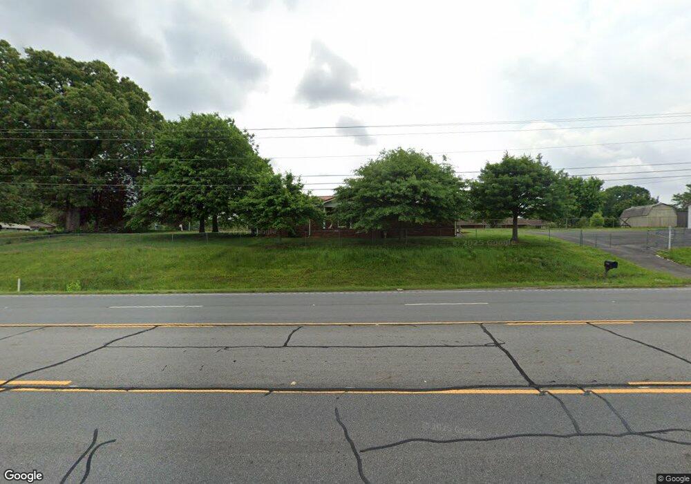
7056 N Highway 27 Rock Spring, GA 30739
Rock Spring NeighborhoodEstimated Value: $248,366 - $294,000
--
Bed
2
Baths
1,596
Sq Ft
$171/Sq Ft
Est. Value
About This Home
This home is located at 7056 N Highway 27, Rock Spring, GA 30739 and is currently estimated at $273,592, approximately $171 per square foot. 7056 N Highway 27 is a home located in Walker County with nearby schools including Rock Spring Elementary School, Lafayette High School, and Alice M Daley Adventist School.
Ownership History
Date
Name
Owned For
Owner Type
Purchase Details
Closed on
Apr 7, 2015
Sold by
Johnston Jeffery Donald
Bought by
Wilson Barbara L
Current Estimated Value
Purchase Details
Closed on
Aug 24, 1993
Sold by
Thomas Otis
Bought by
Johnston Jeffery Donald
Purchase Details
Closed on
Dec 6, 1968
Bought by
Thomas Otis
Create a Home Valuation Report for This Property
The Home Valuation Report is an in-depth analysis detailing your home's value as well as a comparison with similar homes in the area
Home Values in the Area
Average Home Value in this Area
Purchase History
| Date | Buyer | Sale Price | Title Company |
|---|---|---|---|
| Wilson Barbara L | -- | -- | |
| Johnston Jeffery Donald | $50,000 | -- | |
| Thomas Otis | $16,000 | -- |
Source: Public Records
Tax History Compared to Growth
Tax History
| Year | Tax Paid | Tax Assessment Tax Assessment Total Assessment is a certain percentage of the fair market value that is determined by local assessors to be the total taxable value of land and additions on the property. | Land | Improvement |
|---|---|---|---|---|
| 2024 | $1,338 | $108,671 | $20,100 | $88,571 |
| 2023 | $1,106 | $92,704 | $16,080 | $76,624 |
| 2022 | $640 | $71,671 | $16,080 | $55,591 |
| 2021 | $492 | $61,925 | $16,080 | $45,845 |
| 2020 | $675 | $56,894 | $16,080 | $40,814 |
| 2019 | $680 | $56,894 | $16,080 | $40,814 |
| 2018 | $1,505 | $56,894 | $16,080 | $40,814 |
| 2017 | $1,479 | $56,894 | $16,080 | $40,814 |
| 2016 | $396 | $56,894 | $16,080 | $40,814 |
| 2015 | $1,444 | $42,777 | $4,408 | $38,369 |
| 2014 | $1,244 | $42,777 | $4,408 | $38,369 |
| 2013 | $1,505 | $42,776 | $4,408 | $38,368 |
Source: Public Records
Map
Nearby Homes
- 10180 Us Highway 27
- 1003 Highway N Old 27
- 1370 Old Highway 27
- 5602 Georgia 95
- 00 Georgia 95
- 23 Willow Cir
- 16 Willow Cir
- 11 Willow Cir
- 701 Bicentennial Trail
- The Pearson Plan at Laurel Ridge
- The Benson II Plan at Laurel Ridge
- The Langford Plan at Laurel Ridge
- The Lawson Plan at Laurel Ridge
- The Coleman Plan at Laurel Ridge
- The McGinnis Plan at Laurel Ridge
- The Caldwell Plan at Laurel Ridge
- 1902 Long Hollow Rd
- 234 Dad Taylor Dr
- 0 Veeler Rd Unit 1522679
- 0 Veeler Rd Unit 10628696
- 296 Graham Cir
- 7092 N Highway 27
- 336 Graham Cir
- 7092 Us Highway 27
- 289 Graham Cir
- 309 Graham Cir
- 267 Graham Cir
- 238 Graham Cir
- 7001 N Highway 27
- 309 Graham Cir
- 331 Graham Cir
- 9 Graham Rd
- 7001 U S 27
- 191 Graham Cir
- 23 Graham Rd
- 83 Graham Rd
- 7142 N Highway 27
- 1476 Us Highway 27
- 10161 Us Highway 27
- 17 Us Highway 27