706 Foxboro Dr Norwalk, CT 06851
Cranbury NeighborhoodEstimated Value: $623,000 - $840,000
2
Beds
3
Baths
1,647
Sq Ft
$424/Sq Ft
Est. Value
About This Home
This home is located at 706 Foxboro Dr, Norwalk, CT 06851 and is currently estimated at $697,855, approximately $423 per square foot. 706 Foxboro Dr is a home located in Fairfield County with nearby schools including Cranbury Elementary School, West Rocks Middle School, and Norwalk High School.
Ownership History
Date
Name
Owned For
Owner Type
Purchase Details
Closed on
Nov 4, 2013
Sold by
Farrell Jeanne
Bought by
Farrell Jeanne
Current Estimated Value
Purchase Details
Closed on
Aug 13, 1993
Sold by
Howell Mary
Bought by
Farrell Jeanne
Purchase Details
Closed on
Jun 14, 1990
Sold by
Baker Firestone Ltd
Bought by
Howell Mary
Create a Home Valuation Report for This Property
The Home Valuation Report is an in-depth analysis detailing your home's value as well as a comparison with similar homes in the area
Home Values in the Area
Average Home Value in this Area
Purchase History
| Date | Buyer | Sale Price | Title Company |
|---|---|---|---|
| Farrell Jeanne | -- | -- | |
| Farrell Jeanne | -- | -- | |
| Farrell Jeanne | $226,000 | -- | |
| Farrell Jeanne | $226,000 | -- | |
| Howell Mary | $232,400 | -- |
Source: Public Records
Mortgage History
| Date | Status | Borrower | Loan Amount |
|---|---|---|---|
| Previous Owner | Howell Mary | $92,438 | |
| Previous Owner | Howell Mary | $102,000 | |
| Previous Owner | Howell Mary | $110,000 |
Source: Public Records
Tax History Compared to Growth
Tax History
| Year | Tax Paid | Tax Assessment Tax Assessment Total Assessment is a certain percentage of the fair market value that is determined by local assessors to be the total taxable value of land and additions on the property. | Land | Improvement |
|---|---|---|---|---|
| 2025 | $9,526 | $401,280 | $0 | $401,280 |
| 2024 | $9,380 | $401,280 | $0 | $401,280 |
| 2023 | $8,207 | $328,740 | $0 | $328,740 |
| 2022 | $8,078 | $328,740 | $0 | $328,740 |
| 2021 | $6,874 | $328,740 | $0 | $328,740 |
| 2020 | $7,760 | $328,740 | $0 | $328,740 |
| 2019 | $7,662 | $328,740 | $0 | $328,740 |
| 2018 | $7,829 | $301,930 | $0 | $301,930 |
| 2017 | $7,555 | $301,930 | $0 | $301,930 |
| 2016 | $7,681 | $301,930 | $0 | $301,930 |
| 2015 | $6,899 | $301,930 | $0 | $301,930 |
| 2014 | $7,560 | $301,930 | $0 | $301,930 |
Source: Public Records
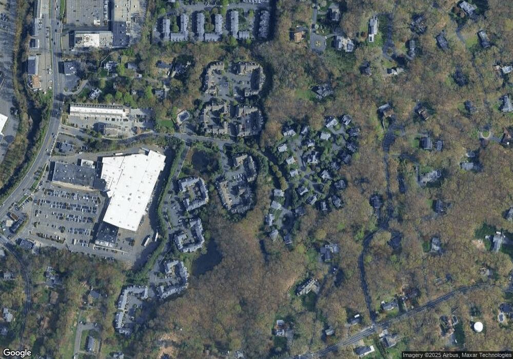
Map
Nearby Homes
- 510 Foxboro Dr
- 123 Old Belden Hill Rd Unit 40
- 29 Grumman Ave
- 442 Main Ave Unit A5
- 57 Creeping Hemlock Dr
- 36 Donohue Dr
- 41 Mohawk Dr
- 180 E Rocks Rd
- 8 Caddy Rd
- 129 Grumman Ave
- 27 Stonecrop Rd
- 32 Thistle Rd
- 8 Stonecrop Rd
- 332 Belden Hill Rd
- 4 Frank St
- 18 Singing Woods Rd
- 9 Singing Woods Rd
- 84 Wilton Crest Rd Unit 84
- 71 Aiken St Unit P12
- 256 Mill Rd
- 710 Foxboro Dr
- 709 Foxboro Dr
- 708 Foxboro Dr
- 707 Foxboro Dr
- 705 Foxboro Dr
- 704 Foxboro Dr
- 703 Foxboro Dr
- 702 Foxboro Dr
- 701 Foxboro Dr
- 702 Foxboro Dr Unit 702
- 710 Foxboro Dr Unit 710
- 704 Foxboro Dr Unit 704
- 707 Foxboro Dr Unit 707
- 703 Foxboro Dr Unit 703
- 701 Foxboro Dr Unit 701
- 818 Foxboro Dr
- 817 Foxboro Dr
- 816 Foxboro Dr
- 815 Foxboro Dr
- 814 Foxboro Dr