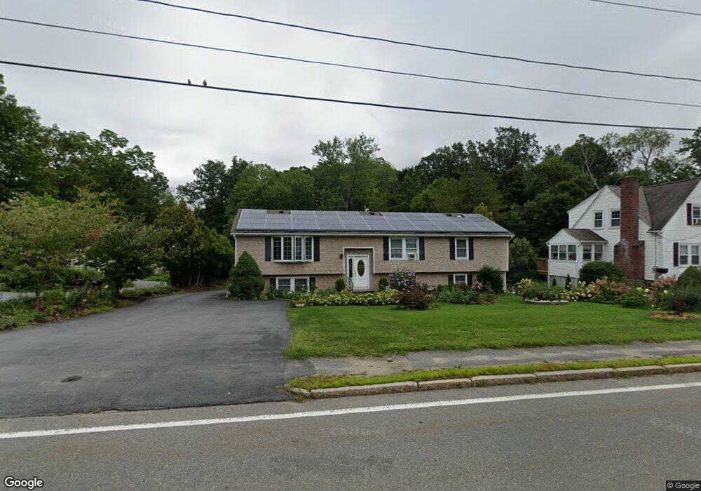
706 Grove St Worcester, MA 01605
Forest Grove NeighborhoodEstimated Value: $530,000 - $713,000
3
Beds
3
Baths
2,170
Sq Ft
$292/Sq Ft
Est. Value
About This Home
This home is located at 706 Grove St, Worcester, MA 01605 and is currently estimated at $633,052, approximately $291 per square foot. 706 Grove St is a home located in Worcester County with nearby schools including Nelson Place Elementary School, Jacob Hiatt Magnet School, and Chandler Magnet.
Ownership History
Date
Name
Owned For
Owner Type
Purchase Details
Closed on
Nov 9, 1999
Sold by
Granata William E
Bought by
Nguyen Kimba T
Current Estimated Value
Purchase Details
Closed on
Sep 29, 1995
Sold by
Anderson Paul and Anderson Mary
Bought by
Granata William and Granata Kathleen
Purchase Details
Closed on
Apr 26, 1989
Sold by
Mariano Raymond
Bought by
Anderson Paul R
Create a Home Valuation Report for This Property
The Home Valuation Report is an in-depth analysis detailing your home's value as well as a comparison with similar homes in the area
Home Values in the Area
Average Home Value in this Area
Purchase History
| Date | Buyer | Sale Price | Title Company |
|---|---|---|---|
| Nguyen Kimba T | $176,000 | -- | |
| Granata William | $144,900 | -- | |
| Anderson Paul R | $187,000 | -- |
Source: Public Records
Mortgage History
| Date | Status | Borrower | Loan Amount |
|---|---|---|---|
| Open | Anderson Paul R | $170,000 | |
| Closed | Anderson Paul R | $75,000 |
Source: Public Records
Tax History Compared to Growth
Tax History
| Year | Tax Paid | Tax Assessment Tax Assessment Total Assessment is a certain percentage of the fair market value that is determined by local assessors to be the total taxable value of land and additions on the property. | Land | Improvement |
|---|---|---|---|---|
| 2025 | $8,175 | $619,800 | $119,800 | $500,000 |
| 2024 | $8,213 | $597,300 | $119,800 | $477,500 |
| 2023 | $8,085 | $563,800 | $104,200 | $459,600 |
| 2022 | $7,021 | $461,600 | $83,400 | $378,200 |
| 2021 | $7,249 | $445,300 | $66,800 | $378,500 |
| 2020 | $6,844 | $402,600 | $66,700 | $335,900 |
| 2019 | $6,701 | $372,300 | $60,400 | $311,900 |
| 2018 | $6,705 | $354,600 | $60,400 | $294,200 |
| 2017 | $6,664 | $346,700 | $60,400 | $286,300 |
| 2016 | $6,797 | $329,800 | $45,900 | $283,900 |
| 2015 | $6,619 | $329,800 | $45,900 | $283,900 |
| 2014 | $6,444 | $329,800 | $45,900 | $283,900 |
Source: Public Records
Map
Nearby Homes
- 704 Grove St
- 708 Grove St
- 714 Grove St
- 709 Grove St
- 700 Grove St
- 711 Grove St
- 705 Grove St
- 25 Lansing Ave
- 716 Grove St
- 21 Lansing Ave
- 715 Grove St
- 696 Grove St
- 19 Lansing Ave
- 13 Jewett Terrace
- 13 Jewett Terrace Unit 1
- 13 Jewett Terrace Unit B
- 13 Jewett Terrace Unit 2
- 31 Lansing Ave
- 720 Grove St
- 701 Grove St