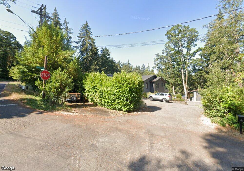
706 Lorane Hwy Eugene, OR 97405
Crest Drive NeighborhoodEstimated Value: $922,000 - $1,202,020
4
Beds
2
Baths
1,722
Sq Ft
$619/Sq Ft
Est. Value
About This Home
This home is located at 706 Lorane Hwy, Eugene, OR 97405 and is currently estimated at $1,066,673, approximately $619 per square foot. 706 Lorane Hwy is a home located in Lane County with nearby schools including Adams Elementary School, Roosevelt Middle School, and South Eugene High School.
Ownership History
Date
Name
Owned For
Owner Type
Purchase Details
Closed on
Apr 18, 2025
Sold by
Miller John Martin and Miller Shadi Imani
Bought by
John & Shadi Miller Trust and Miller
Current Estimated Value
Purchase Details
Closed on
Feb 7, 2017
Sold by
Collins Kevin John and Tasker Sheila Marie
Bought by
Miller John Martin and Miller Shadi Imani
Create a Home Valuation Report for This Property
The Home Valuation Report is an in-depth analysis detailing your home's value as well as a comparison with similar homes in the area
Home Values in the Area
Average Home Value in this Area
Purchase History
| Date | Buyer | Sale Price | Title Company |
|---|---|---|---|
| John & Shadi Miller Trust | -- | None Listed On Document | |
| Miller John Martin | $250,000 | Fidelity Natl Title Co Of Or |
Source: Public Records
Tax History
| Year | Tax Paid | Tax Assessment Tax Assessment Total Assessment is a certain percentage of the fair market value that is determined by local assessors to be the total taxable value of land and additions on the property. | Land | Improvement |
|---|---|---|---|---|
| 2025 | $11,937 | $612,664 | -- | -- |
| 2024 | $11,789 | $594,820 | -- | -- |
| 2023 | $11,789 | $577,496 | -- | -- |
| 2022 | $11,044 | $560,676 | $0 | $0 |
| 2021 | $10,179 | $534,162 | $0 | $0 |
| 2020 | $10,215 | $518,604 | $0 | $0 |
| 2019 | $5,882 | $300,201 | $0 | $0 |
| 2018 | $4,355 | $222,595 | $0 | $0 |
| 2017 | $4,160 | $222,595 | $0 | $0 |
| 2016 | $4,057 | $216,112 | $0 | $0 |
| 2015 | $3,941 | $209,817 | $0 | $0 |
| 2014 | $3,861 | $203,706 | $0 | $0 |
Source: Public Records
Map
Nearby Homes
- 865 W 28th Ave
- 951 W 27th Ave
- 3160 Whitten Dr
- 1 Storey Blvd
- 2 Storey Blvd
- 2965 Olive St
- 0 Hidden Meadows
- 84 W 27th Ave
- 350 Loma Linda Ln
- 605 Fulvue Dr
- 2260 Lincoln St
- 453 Dellwood Dr
- 180 W 23rd Ave
- 3593 Lawrence St
- 0 Monroe St Unit 343774498
- 357 W 37th Ave
- 75 W 35th Place
- 2223 Olive St
- 0 Mclean Blvd Unit 24671448
- 0 Mclean Blvd Unit 697374759
- 695 Lorane Hwy
- 2850 Madison St
- 701 Lorane Hwy
- 2871 Monroe St
- 2885 Monroe St
- 690 Lorane Hwy
- 2917 Madison St
- 680 Lorane Hwy
- 2919 Madison St
- 2825 Monroe St
- 2929 Madison St
- 2830 Madison St
- 2830 Madison St Unit Lower Level
- 2830 Madison St
- 2941 Madison St
- 2841 Madison St
- 725 Lorane Hwy
- 2831 Madison St
- 2948 Madison St
- 8 Monroe St
Your Personal Tour Guide
Ask me questions while you tour the home.