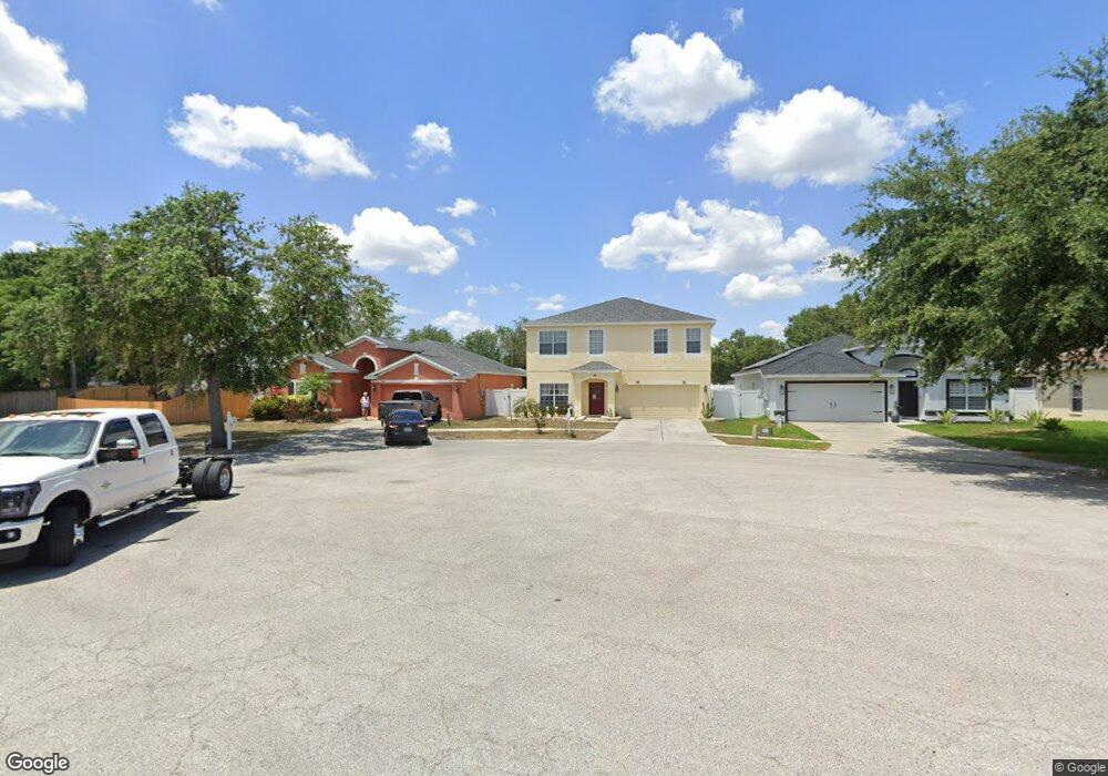
706 Parsons Pointe St Seffner, FL 33584
Estimated Value: $383,264 - $457,000
4
Beds
3
Baths
2,952
Sq Ft
$143/Sq Ft
Est. Value
About This Home
This home is located at 706 Parsons Pointe St, Seffner, FL 33584 and is currently estimated at $422,816, approximately $143 per square foot. 706 Parsons Pointe St is a home located in Hillsborough County with nearby schools including Lopez Elementary School, Burnett Middle School, and Armwood High School.
Ownership History
Date
Name
Owned For
Owner Type
Purchase Details
Closed on
Dec 5, 2002
Sold by
Ryland Group Inc
Bought by
Dehoyos Joe A and Nunez Yvette
Current Estimated Value
Home Financials for this Owner
Home Financials are based on the most recent Mortgage that was taken out on this home.
Original Mortgage
$92,000
Outstanding Balance
$38,233
Interest Rate
6.3%
Mortgage Type
New Conventional
Estimated Equity
$384,583
Create a Home Valuation Report for This Property
The Home Valuation Report is an in-depth analysis detailing your home's value as well as a comparison with similar homes in the area
Home Values in the Area
Average Home Value in this Area
Purchase History
| Date | Buyer | Sale Price | Title Company |
|---|---|---|---|
| Dehoyos Joe A | $162,300 | -- |
Source: Public Records
Mortgage History
| Date | Status | Borrower | Loan Amount |
|---|---|---|---|
| Open | Dehoyos Joe A | $92,000 |
Source: Public Records
Tax History
| Year | Tax Paid | Tax Assessment Tax Assessment Total Assessment is a certain percentage of the fair market value that is determined by local assessors to be the total taxable value of land and additions on the property. | Land | Improvement |
|---|---|---|---|---|
| 2025 | $2,074 | $130,326 | -- | -- |
| 2024 | $2,074 | $126,653 | -- | -- |
| 2023 | $1,973 | $122,964 | $0 | $0 |
| 2022 | $1,826 | $119,383 | $0 | $0 |
| 2021 | $2,101 | $115,906 | $0 | $0 |
| 2020 | $2,021 | $114,306 | $0 | $0 |
| 2019 | $1,935 | $111,736 | $0 | $0 |
| 2018 | $1,917 | $109,653 | $0 | $0 |
| 2017 | $1,886 | $154,408 | $0 | $0 |
| 2016 | $1,850 | $105,189 | $0 | $0 |
| 2015 | $1,865 | $104,458 | $0 | $0 |
| 2014 | $1,841 | $103,629 | $0 | $0 |
| 2013 | -- | $102,098 | $0 | $0 |
Source: Public Records
Map
Nearby Homes
- 763 Star Pointe Dr
- 503 de Resine Carre St Unit 503DR
- 634 Auxerre Cir Unit 634AC
- 131 Elina Sky Dr
- 719 Vineyard Reserve Ct
- 762 Parsons Mooring Ct
- 605 de Resine Carre St Unit 605DR
- 603 U S 92
- 788 Parsons Mooring Ct
- 502 Calhoun Ave
- 920 Brinwood Dr
- 801 N Kingsway Rd
- 106 Winston Manor Cir
- 821 Walnut Dr
- 106 Phillips Dr
- 109 Azul Dr
- 1241 Florablu Dr
- 308 Abyhara Ave Unit 308
- 215 Fern Gulley Dr
- 1244 Florablu Dr
- 704 Parsons Pointe St
- 708 Parsons Pointe St
- 710 Parsons Pointe St Unit B
- 724 Star Pointe Dr Unit B
- 714 Star Pointe Dr
- 726 Star Pointe Dr Unit B
- 712 Parsons Pointe St
- 719 Star Pointe Dr Unit B
- 721 Star Pointe Dr
- 717 Star Pointe Dr
- 705 Parsons Pointe St
- 712 Star Pointe Dr Unit B
- 723 Star Pointe Dr
- 714 Parsons Pointe St
- 707 Parsons Pointe St Unit B
- 715 Star Pointe Dr
- 728 Star Pointe Dr
- 709 Parsons Pointe St Unit B
- 725 Star Pointe Dr
- 713 Star Pointe Dr
Your Personal Tour Guide
Ask me questions while you tour the home.