7062 Craig Rd Brainerd, MN 56401
Estimated Value: $262,000 - $372,000
1
Bed
1
Bath
1,792
Sq Ft
$178/Sq Ft
Est. Value
About This Home
This home is located at 7062 Craig Rd, Brainerd, MN 56401 and is currently estimated at $319,809, approximately $178 per square foot. 7062 Craig Rd is a home located in Crow Wing County with nearby schools including Riverside Elementary School, Forestview Middle School, and Brainerd Senior High School.
Ownership History
Date
Name
Owned For
Owner Type
Purchase Details
Closed on
Jul 1, 2009
Sold by
Lewerke Daniel H
Bought by
Leblanc Michael
Current Estimated Value
Purchase Details
Closed on
Jul 1, 2006
Sold by
Roscoe Rick A
Bought by
Lewerke Lonnie I and Lewerke Daniel H
Purchase Details
Closed on
May 1, 2002
Sold by
Roscoe Richard A
Bought by
Dechaine Peter Wilfred and Dechaine Laur
Create a Home Valuation Report for This Property
The Home Valuation Report is an in-depth analysis detailing your home's value as well as a comparison with similar homes in the area
Purchase History
| Date | Buyer | Sale Price | Title Company |
|---|---|---|---|
| Leblanc Michael | $132,500 | -- | |
| Lewerke Lonnie I | $110,000 | -- | |
| Dechaine Peter Wilfred | $5,000 | -- |
Source: Public Records
Tax History
| Year | Tax Paid | Tax Assessment Tax Assessment Total Assessment is a certain percentage of the fair market value that is determined by local assessors to be the total taxable value of land and additions on the property. | Land | Improvement |
|---|---|---|---|---|
| 2025 | $1,936 | $282,600 | $87,800 | $194,800 |
| 2024 | $1,936 | $293,000 | $88,000 | $205,000 |
| 2023 | $1,732 | $294,900 | $84,100 | $210,800 |
| 2022 | $1,484 | $242,400 | $55,600 | $186,800 |
| 2021 | $1,548 | $176,200 | $43,100 | $133,100 |
| 2020 | $1,514 | $174,000 | $46,400 | $127,600 |
| 2019 | $1,408 | $165,800 | $44,100 | $121,700 |
| 2018 | $1,278 | $154,100 | $44,100 | $110,000 |
| 2017 | $1,372 | $122,118 | $36,001 | $86,117 |
| 2016 | $1,188 | $122,300 | $36,800 | $85,500 |
| 2015 | $1,078 | $106,000 | $37,200 | $68,800 |
| 2014 | $508 | $106,000 | $37,200 | $68,800 |
Source: Public Records
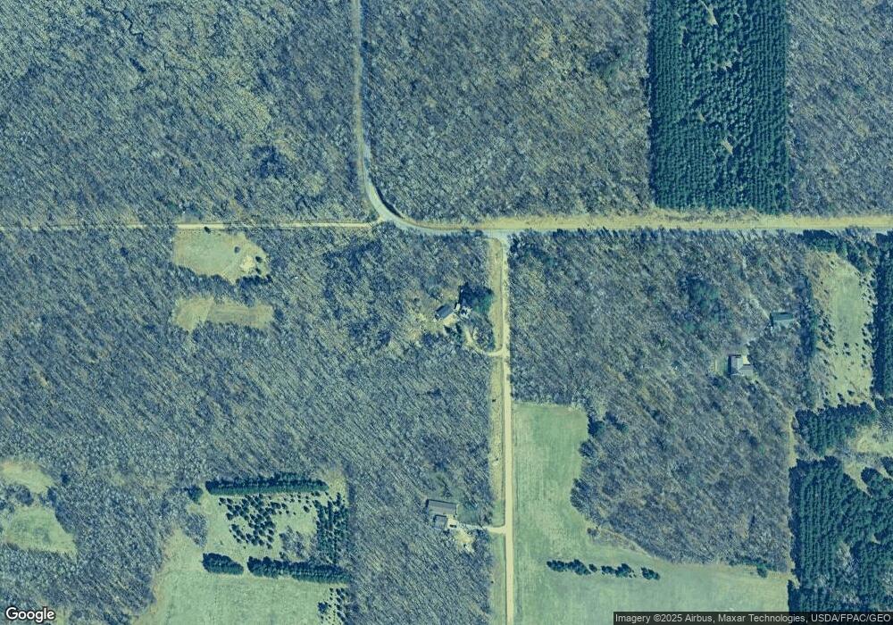
Map
Nearby Homes
- 6740 Saint Mathias Rd
- 6440 Estate Dr
- 8624 50th Ave
- 6724 Wels Ave
- 6876 Wels Ave
- 7066 Wels Ave
- 9925 Saint Mathias Rd SW
- 6207 Brandon Way
- TBD Brandon Way
- 9413 Forest Heights Dr
- 7370 Hunter Cir
- 10660 Saint Mathias Rd
- 6563 Parkview Cir
- TBD Parkview Cir
- (Lot 8) 11074 Tabor Trail
- 6068 Oakdale Rd
- (Lot 9) 11096 Tabor Trail
- (Lot 5) 11067 Tabor Trail
- (Lot 10) 11126 Tabor Trail
- 6005 Oakdale Rd
Your Personal Tour Guide
Ask me questions while you tour the home.