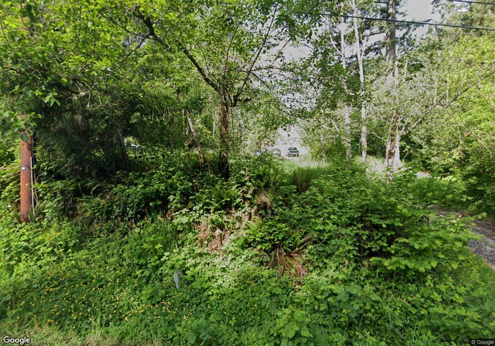
7065 SE 252nd Ave Gresham, OR 97080
Sandy River NeighborhoodEstimated Value: $595,000 - $722,041
4
Beds
2
Baths
2,108
Sq Ft
$312/Sq Ft
Est. Value
About This Home
This home is located at 7065 SE 252nd Ave, Gresham, OR 97080 and is currently estimated at $658,521, approximately $312 per square foot. 7065 SE 252nd Ave is a home located in Multnomah County with nearby schools including Hogan Cedars Elementary School, Dexter McCarty Middle School, and Sam Barlow High School.
Ownership History
Date
Name
Owned For
Owner Type
Purchase Details
Closed on
Sep 5, 2019
Sold by
Bennett Vera L
Bought by
Stowers Robyn
Current Estimated Value
Home Financials for this Owner
Home Financials are based on the most recent Mortgage that was taken out on this home.
Original Mortgage
$300,000
Outstanding Balance
$262,745
Interest Rate
3.7%
Mortgage Type
New Conventional
Estimated Equity
$395,776
Create a Home Valuation Report for This Property
The Home Valuation Report is an in-depth analysis detailing your home's value as well as a comparison with similar homes in the area
Home Values in the Area
Average Home Value in this Area
Purchase History
| Date | Buyer | Sale Price | Title Company |
|---|---|---|---|
| Stowers Robyn | $375,000 | Fidelity National Title |
Source: Public Records
Mortgage History
| Date | Status | Borrower | Loan Amount |
|---|---|---|---|
| Open | Stowers Robyn | $300,000 |
Source: Public Records
Tax History
| Year | Tax Paid | Tax Assessment Tax Assessment Total Assessment is a certain percentage of the fair market value that is determined by local assessors to be the total taxable value of land and additions on the property. | Land | Improvement |
|---|---|---|---|---|
| 2025 | $7,053 | $386,700 | -- | -- |
| 2024 | $6,741 | $375,440 | -- | -- |
| 2023 | $6,586 | $364,510 | $0 | $0 |
| 2022 | $6,402 | $353,900 | $0 | $0 |
| 2021 | $6,242 | $343,600 | $0 | $0 |
| 2020 | $5,865 | $333,600 | $0 | $0 |
| 2019 | $5,712 | $323,890 | $0 | $0 |
| 2018 | $5,443 | $314,460 | $0 | $0 |
| 2017 | $5,219 | $305,310 | $0 | $0 |
| 2016 | $4,581 | $296,420 | $0 | $0 |
Source: Public Records
Map
Nearby Homes
- 3169 SE 34th St
- 2910 SE Hillyard Rd
- 2922 SE Hillyard Rd
- 3398 SE 36th St
- 2925 SE Cleveland Dr
- 2075 SE Palmblad Rd
- 2073 SE Kane Ave
- 2672 SE Vista Way
- 3780 SE 21st Dr
- 2245 SE Wendy Dr
- 2125 SE 18th Aly
- 2363 SE 17th Aly
- 4489 SE Hillyard Ct
- 2600 SE Orient Dr
- 2392 SE 16th Aly
- 2581 SE Morlan Way
- 2573 SE Morlan Way
- 2728 SE Acacia Place
- 2220 SE 16th St
- 2813 SE Baker Ave
- 7155 SE 252nd Ave
- 7158 SE 252nd Ave
- 7239 SE 252nd Ave
- 6923 SE 252nd Ave
- 7323 SE 252nd Ave
- -1 SE 252nd Ave
- 7326 SE 252nd Ave
- 7349 SE 252nd Ave
- 3064 SE 34th St
- 3052 SE 33rd St
- 7313 SE 252nd Ave
- 3146 SE 34th St
- 6721 SE 252nd Ave
- 3088 SE 33rd St
- 6732 SE Telford Rd
- 7415 SE 252nd Ave
- 3521 SE Paropa Ave
- 3117 SE 34th St
- 3122 SE 34th St
- 3135 SE 36th St
