707 Art Lewis St Middleport, OH 45760
Estimated Value: $105,000 - $150,000
3
Beds
2
Baths
1,288
Sq Ft
$102/Sq Ft
Est. Value
About This Home
This home is located at 707 Art Lewis St, Middleport, OH 45760 and is currently estimated at $131,172, approximately $101 per square foot. 707 Art Lewis St is a home located in Meigs County with nearby schools including Meigs Primary School, Meigs Intermediate School, and Meigs Middle School.
Ownership History
Date
Name
Owned For
Owner Type
Purchase Details
Closed on
Dec 12, 2019
Sold by
Dill Ed
Bought by
Dill Cory
Current Estimated Value
Purchase Details
Closed on
Jun 1, 2012
Sold by
Durst Jean Anne
Bought by
Dill Ed
Purchase Details
Closed on
Jan 14, 1988
Bought by
Dill Ed
Create a Home Valuation Report for This Property
The Home Valuation Report is an in-depth analysis detailing your home's value as well as a comparison with similar homes in the area
Home Values in the Area
Average Home Value in this Area
Purchase History
| Date | Buyer | Sale Price | Title Company |
|---|---|---|---|
| Dill Cory | -- | None Available | |
| Dill Ed | $54,000 | None Available | |
| Dill Ed | -- | -- |
Source: Public Records
Tax History Compared to Growth
Tax History
| Year | Tax Paid | Tax Assessment Tax Assessment Total Assessment is a certain percentage of the fair market value that is determined by local assessors to be the total taxable value of land and additions on the property. | Land | Improvement |
|---|---|---|---|---|
| 2024 | $1,374 | $33,910 | $6,260 | $27,650 |
| 2023 | $1,374 | $33,910 | $6,260 | $27,650 |
| 2022 | $1,333 | $33,910 | $6,260 | $27,650 |
| 2021 | $1,325 | $29,410 | $5,630 | $23,780 |
| 2020 | $1,335 | $29,410 | $5,630 | $23,780 |
| 2019 | $1,320 | $29,410 | $5,630 | $23,780 |
| 2018 | $1,133 | $25,780 | $3,760 | $22,020 |
| 2017 | $1,133 | $25,780 | $3,760 | $22,020 |
| 2016 | $1,149 | $25,780 | $3,760 | $22,020 |
| 2014 | $1,095 | $26,790 | $3,470 | $23,320 |
| 2013 | $1,095 | $26,790 | $3,470 | $23,320 |
Source: Public Records
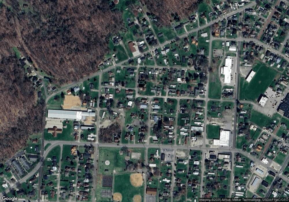
Map
Nearby Homes
- 206 Beech St
- 750 High St
- 341 Park St
- 1368 Powell St
- 691 Brownell Ave
- 386 Maple St
- 421 1/2 W Main St
- 5 Oak St
- 6 Cave St
- 0 Lincoln Heights Unit 2433021
- 0 Lincoln Dr
- 451 4th St
- 148 Lincoln Hill
- 336 Lasley St
- 852 4th St
- 31365 T-174
- 653 Osborne St
- State Route 124
- 113 Wehe Terrace
- 0 N Rife Rd Unit 25766690
- 705 Art Lewis St
- 703 Art Lewis St
- 786 Hysell St
- 929 Hysell St
- 927 Hysell St
- 927 Hysell St
- 712 Art Lewis St
- 760 Laurel St
- 710 Art Lewis St
- 931 Hysell St
- 1 Peach Circle Dr
- 708 Art Lewis St
- 3 Peach Circle Dr
- 690 Laurel St
- 848 Logan St
- 706 Art Lewis St
- 982 Hysell St
- 640 Laurel St
- 895 W Hysell St
- 890 Hysell St