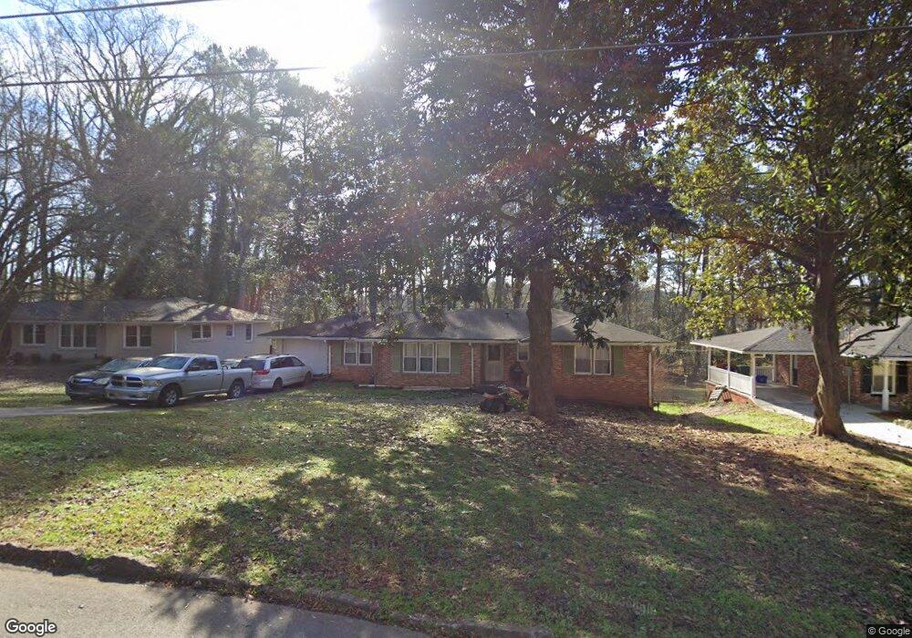
707 Cheviot Dr Decatur, GA 30032
Estimated Value: $243,255 - $297,000
3
Beds
2
Baths
1,443
Sq Ft
$187/Sq Ft
Est. Value
About This Home
This home is located at 707 Cheviot Dr, Decatur, GA 30032 and is currently estimated at $270,314, approximately $187 per square foot. 707 Cheviot Dr is a home located in DeKalb County with nearby schools including Dunaire Elementary School, Freedom Middle School, and Clarkston High School.
Ownership History
Date
Name
Owned For
Owner Type
Purchase Details
Closed on
May 11, 2018
Sold by
Lance Cathy H
Bought by
Mohamed Abdulrahman H
Current Estimated Value
Purchase Details
Closed on
Mar 17, 2005
Sold by
Hollingshead Grace S
Bought by
Lance Cathy H
Create a Home Valuation Report for This Property
The Home Valuation Report is an in-depth analysis detailing your home's value as well as a comparison with similar homes in the area
Home Values in the Area
Average Home Value in this Area
Purchase History
| Date | Buyer | Sale Price | Title Company |
|---|---|---|---|
| Mohamed Abdulrahman H | $100,000 | -- | |
| Lance Cathy H | -- | -- |
Source: Public Records
Tax History Compared to Growth
Tax History
| Year | Tax Paid | Tax Assessment Tax Assessment Total Assessment is a certain percentage of the fair market value that is determined by local assessors to be the total taxable value of land and additions on the property. | Land | Improvement |
|---|---|---|---|---|
| 2025 | $2,811 | $97,520 | $13,520 | $84,000 |
| 2024 | $3,014 | $103,520 | $13,520 | $90,000 |
| 2023 | $3,014 | $97,440 | $13,520 | $83,920 |
| 2022 | $2,400 | $79,920 | $13,520 | $66,400 |
| 2021 | $1,935 | $59,760 | $11,320 | $48,440 |
| 2020 | $2,619 | $51,200 | $11,320 | $39,880 |
| 2019 | $2,128 | $40,000 | $9,760 | $30,240 |
| 2018 | $1,989 | $40,960 | $11,320 | $29,640 |
| 2017 | $2,088 | $38,920 | $11,320 | $27,600 |
| 2016 | $1,991 | $36,640 | $11,320 | $25,320 |
| 2014 | $1,626 | $27,680 | $11,520 | $16,160 |
Source: Public Records
Map
Nearby Homes
- 691 Heathmoor Place
- 3880 Springleaf Ct
- 3884 Wood Path Dr
- 3892 Springleaf Point
- 3901 Wood Path Dr
- 3901 W Wood Path
- 3909 S Creek Ct
- 3959 Wood Path Dr
- 3801 Bretton Woods Rd
- 3907 Dunaire Dr
- 518 Hammett Dr
- 3943 Dunaire Dr
- 798 Durham Trail
- 521 S Indian Creek Dr
- Cabot Plan at Porter Reserve
- Buchanan Plan at Porter Reserve
- Ellison Plan at Porter Reserve
- Salisbury Plan at Porter Reserve
- Hartcliffe Plan at Porter Reserve
- 3834 Kensingwood Trace
- 719 Cheviot Dr
- 675 Collingwood Dr
- 702 Cheviot Dr
- 667 Collingwood Dr
- 674 Collingwood Dr
- 686 Cheviot Dr
- 3835 Wood Path Dr
- 3823 Kingswood Dr
- 3839 Wood Path Dr
- 3840 Wood Path Dr
- 3831 Springleaf Ct
- 3833 Springleaf Ct Unit .EMPTY
- 3833 Springleaf Ct
- 678 Cheviot Dr
- 3813 Kingswood Dr
- 660 Collingwood Dr
- 0 Cheviot Dr Unit 7486448
- 0 Cheviot Dr Unit 7244298
- 0 Cheviot Dr Unit 7543277
- 3800 W Wood Path