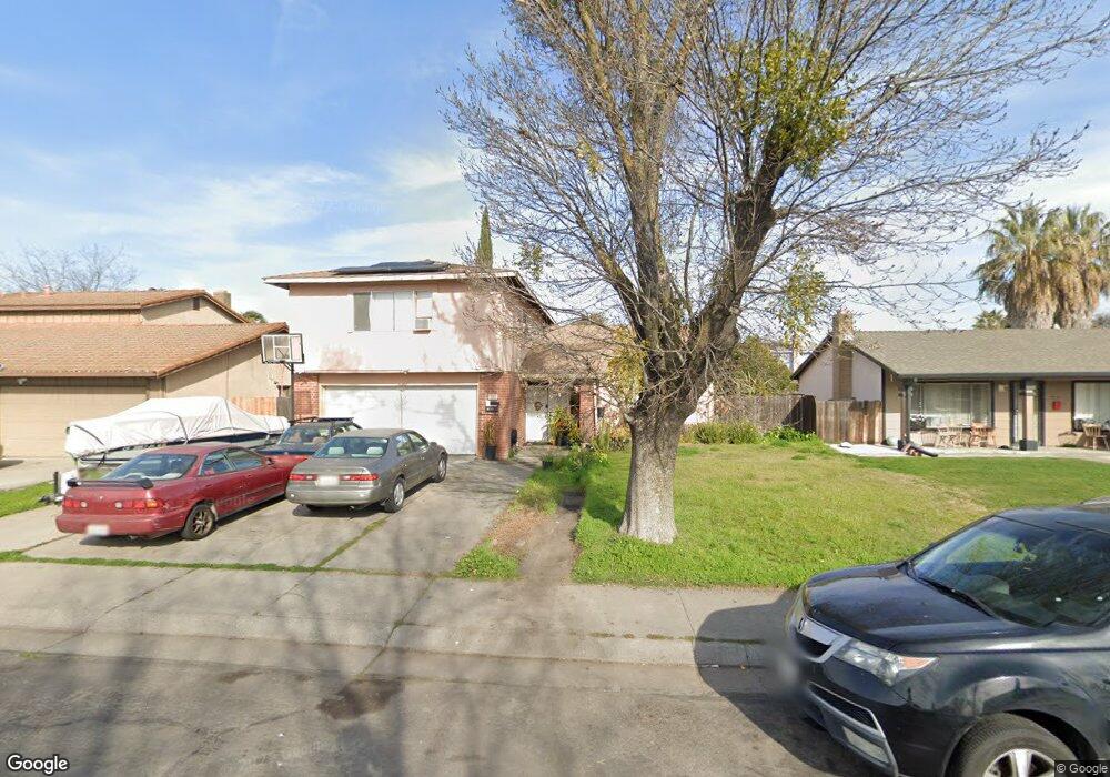
707 Dupont Dr Stockton, CA 95210
Valley Oak NeighborhoodEstimated Value: $164,000 - $482,000
5
Beds
3
Baths
2,217
Sq Ft
$171/Sq Ft
Est. Value
About This Home
This home is located at 707 Dupont Dr, Stockton, CA 95210 and is currently estimated at $379,142, approximately $171 per square foot. 707 Dupont Dr is a home located in San Joaquin County with nearby schools including Parklane Elementary School, Delta Sierra Middle School, and Ronald E. McNair High School.
Ownership History
Date
Name
Owned For
Owner Type
Purchase Details
Closed on
May 4, 2009
Sold by
U S Bank National Association
Bought by
Siv Samat
Current Estimated Value
Home Financials for this Owner
Home Financials are based on the most recent Mortgage that was taken out on this home.
Original Mortgage
$93,180
Interest Rate
5.25%
Mortgage Type
FHA
Purchase Details
Closed on
May 19, 2008
Sold by
Kaewbunyord Sambath
Bought by
U S Bank Na and C Bass Mortgage Loan Asset Backed Certif
Purchase Details
Closed on
Aug 25, 2005
Sold by
Nigam Anita K and Kumar Yogendra
Bought by
Kaewbunyord Sambath
Home Financials for this Owner
Home Financials are based on the most recent Mortgage that was taken out on this home.
Original Mortgage
$332,000
Interest Rate
6.45%
Mortgage Type
Purchase Money Mortgage
Create a Home Valuation Report for This Property
The Home Valuation Report is an in-depth analysis detailing your home's value as well as a comparison with similar homes in the area
Home Values in the Area
Average Home Value in this Area
Purchase History
| Date | Buyer | Sale Price | Title Company |
|---|---|---|---|
| Siv Samat | $94,900 | Accommodation | |
| U S Bank Na | $188,600 | Accommodation | |
| Kaewbunyord Sambath | $415,000 | Fidelity Natl Title Ins Co |
Source: Public Records
Mortgage History
| Date | Status | Borrower | Loan Amount |
|---|---|---|---|
| Previous Owner | Siv Samat | $93,180 | |
| Previous Owner | Kaewbunyord Sambath | $332,000 |
Source: Public Records
Tax History Compared to Growth
Tax History
| Year | Tax Paid | Tax Assessment Tax Assessment Total Assessment is a certain percentage of the fair market value that is determined by local assessors to be the total taxable value of land and additions on the property. | Land | Improvement |
|---|---|---|---|---|
| 2025 | $1,361 | $122,488 | $29,684 | $92,804 |
| 2024 | $1,334 | $120,087 | $29,102 | $90,985 |
| 2023 | $1,316 | $117,733 | $28,532 | $89,201 |
| 2022 | $1,248 | $115,425 | $27,973 | $87,452 |
| 2021 | $1,274 | $113,163 | $27,425 | $85,738 |
| 2020 | $1,243 | $112,003 | $27,144 | $84,859 |
| 2019 | $1,213 | $109,808 | $26,612 | $83,196 |
| 2018 | $1,190 | $107,656 | $26,091 | $81,565 |
| 2017 | $1,161 | $105,546 | $25,580 | $79,966 |
| 2016 | $1,092 | $103,477 | $25,079 | $78,398 |
| 2014 | $1,077 | $99,928 | $24,219 | $75,709 |
Source: Public Records
Map
Nearby Homes
- 4424 Ijams Lot #6
- 4424
- 617 Clinton Dr
- 723 Clinton Dr
- 8024 Albany Dr
- 801 Astor St
- 352 Jill Cir
- 7941 Diana Marie Dr
- 8226 Manhattan Dr
- 1103 Summerview Dr
- 436 Morro Ln
- 8815 Damian Ct
- 8219 New York Dr
- 8502 Don Ramon Dr
- 7025 Kermit Ln
- 148 Bernice Ave
- 703 Prospector Dr
- 103 Cordova Ln
- 1553 Pyrenees Ave Unit 35
- 1545 Pyrenees Ave Unit 30