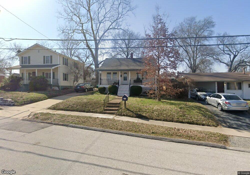
707 Holland Ave Saint Louis, MO 63119
Estimated Value: $169,000 - $271,000
2
Beds
1
Bath
941
Sq Ft
$219/Sq Ft
Est. Value
About This Home
This home is located at 707 Holland Ave, Saint Louis, MO 63119 and is currently estimated at $205,909, approximately $218 per square foot. 707 Holland Ave is a home located in St. Louis County with nearby schools including Avery Elementary School, Hixson Middle School, and Webster Groves High School.
Ownership History
Date
Name
Owned For
Owner Type
Purchase Details
Closed on
Nov 3, 2003
Sold by
Beyond Housing Inc
Bought by
Northcott Mary Kathleen
Current Estimated Value
Home Financials for this Owner
Home Financials are based on the most recent Mortgage that was taken out on this home.
Original Mortgage
$109,000
Outstanding Balance
$49,865
Interest Rate
5.81%
Mortgage Type
Purchase Money Mortgage
Estimated Equity
$156,044
Create a Home Valuation Report for This Property
The Home Valuation Report is an in-depth analysis detailing your home's value as well as a comparison with similar homes in the area
Home Values in the Area
Average Home Value in this Area
Purchase History
| Date | Buyer | Sale Price | Title Company |
|---|---|---|---|
| Northcott Mary Kathleen | $109,000 | -- |
Source: Public Records
Mortgage History
| Date | Status | Borrower | Loan Amount |
|---|---|---|---|
| Open | Northcott Mary Kathleen | $109,000 |
Source: Public Records
Tax History Compared to Growth
Tax History
| Year | Tax Paid | Tax Assessment Tax Assessment Total Assessment is a certain percentage of the fair market value that is determined by local assessors to be the total taxable value of land and additions on the property. | Land | Improvement |
|---|---|---|---|---|
| 2025 | $1,740 | $28,580 | $17,940 | $10,640 |
| 2024 | $1,740 | $24,510 | $13,450 | $11,060 |
| 2023 | $1,740 | $24,510 | $13,450 | $11,060 |
| 2022 | $1,568 | $20,560 | $11,210 | $9,350 |
| 2021 | $1,563 | $20,560 | $11,210 | $9,350 |
| 2020 | $1,602 | $19,650 | $8,970 | $10,680 |
| 2019 | $1,591 | $19,650 | $8,970 | $10,680 |
| 2018 | $1,338 | $14,590 | $6,760 | $7,830 |
| 2017 | $1,330 | $14,590 | $6,760 | $7,830 |
| 2016 | $1,406 | $14,870 | $5,810 | $9,060 |
| 2015 | $1,403 | $14,870 | $5,810 | $9,060 |
| 2014 | $1,782 | $18,460 | $6,190 | $12,270 |
Source: Public Records
Map
Nearby Homes
- 827 Cornell Ave
- 814 Holland Ave
- 617 N Elm Ave
- 546 Holland Ave
- 1013 Bell Ave
- 901 Ennis Ave
- 218 Euclid Ave
- 112 Oakwood Ave
- 330 Lithia Ave
- 2918 Wingate Ct
- 2935 Greentop Ct
- 8908 W Pendleton Ave
- 2904 Collier Ave
- 2911 Brazeau Ave
- 136 N Gore Ave
- 2829 Brazeau Ave
- 9239 Merritt Ave
- 441 Park Rd
- 529 Cyril Dr
- 610 Cornelia Ave
- 711 Holland Ave
- 704 Cornell Ave
- 708 Cornell Ave
- 700 Cornell Ave
- 628 Cornell Ave
- 702 Holland Ave
- 708 Holland Ave
- 721 Holland Ave
- 624 Cornell Ave
- 712 Holland Ave
- 620 Holland Ave
- 620 Cornell Ave
- 724 Cornell Ave
- 617 Holland Ave
- 801 Holland Ave
- 614 Holland Ave
- 105 E Thornton Ave
- 612 Cornell Ave
- 800 Cornell Ave
- 705 Cornell Ave