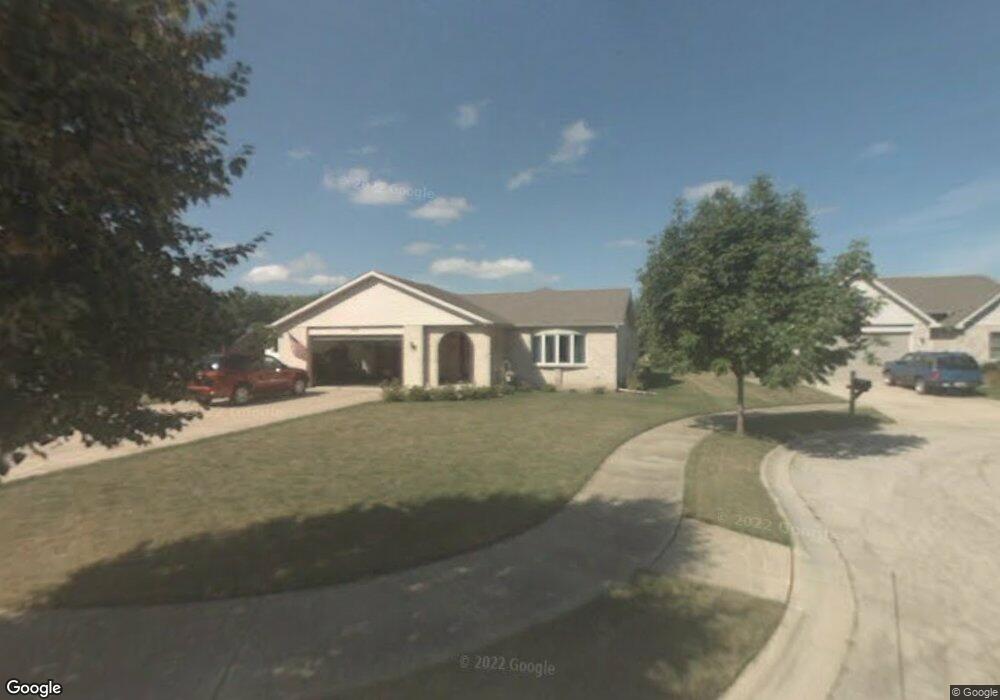
707 Mason Ct Joliet, IL 60435
Southwest Joliet NeighborhoodEstimated Value: $335,000 - $348,606
--
Bed
--
Bath
1,857
Sq Ft
$185/Sq Ft
Est. Value
About This Home
This home is located at 707 Mason Ct, Joliet, IL 60435 and is currently estimated at $343,152, approximately $184 per square foot. 707 Mason Ct is a home located in Will County with nearby schools including Thomas Jefferson Elementary School, Hufford Junior High School, and Joliet West High School.
Ownership History
Date
Name
Owned For
Owner Type
Purchase Details
Closed on
Sep 27, 2007
Sold by
Pluth Frank J and Pluth Pamela A
Bought by
Pluth Frank J and Revocable Living Trust Of Fran
Current Estimated Value
Purchase Details
Closed on
Dec 22, 1995
Sold by
First National Bank Of Joliet
Bought by
Pluth Frank J and Pluth Pamela A
Home Financials for this Owner
Home Financials are based on the most recent Mortgage that was taken out on this home.
Original Mortgage
$60,000
Outstanding Balance
$1,233
Interest Rate
7.42%
Estimated Equity
$341,919
Create a Home Valuation Report for This Property
The Home Valuation Report is an in-depth analysis detailing your home's value as well as a comparison with similar homes in the area
Home Values in the Area
Average Home Value in this Area
Purchase History
| Date | Buyer | Sale Price | Title Company |
|---|---|---|---|
| Pluth Frank J | -- | None Available | |
| Pluth Frank J | $172,000 | -- |
Source: Public Records
Mortgage History
| Date | Status | Borrower | Loan Amount |
|---|---|---|---|
| Open | Pluth Frank J | $60,000 |
Source: Public Records
Tax History Compared to Growth
Tax History
| Year | Tax Paid | Tax Assessment Tax Assessment Total Assessment is a certain percentage of the fair market value that is determined by local assessors to be the total taxable value of land and additions on the property. | Land | Improvement |
|---|---|---|---|---|
| 2024 | $8,502 | $117,501 | $19,333 | $98,168 |
| 2023 | $8,502 | $104,399 | $17,177 | $87,222 |
| 2022 | $7,705 | $94,436 | $15,538 | $78,898 |
| 2021 | $7,255 | $88,200 | $14,512 | $73,688 |
| 2020 | $6,832 | $83,761 | $13,782 | $69,979 |
| 2019 | $6,423 | $77,845 | $12,809 | $65,036 |
| 2018 | $6,071 | $71,932 | $11,836 | $60,096 |
| 2017 | $5,619 | $65,399 | $10,761 | $54,638 |
| 2016 | $5,288 | $60,204 | $9,865 | $50,339 |
| 2015 | $5,014 | $56,450 | $9,250 | $47,200 |
| 2014 | $5,014 | $56,150 | $9,200 | $46,950 |
| 2013 | $5,014 | $58,901 | $10,218 | $48,683 |
Source: Public Records
Map
Nearby Homes
- 805 Cypress Ln
- 2211 Black Rd
- 613 Westnedge Rd
- 803 Magnolia Dr
- 2116 Black Rd
- 609 Bethel Dr
- 2319 Taylor St
- 2222 Taylor St
- 620 Tana Ln
- 2225 W Acres Rd
- 910 Sudbury Dr
- 712 Homestead Place
- 406 Madison St
- 1115 Brentwood Place
- 1125 Magnolia Dr
- 1014 Edgerton Dr
- 509 Apollo Dr
- 1099 Gael Dr
- 601 Fairlane Dr
- 2604 Caddy Ln
- 2314 Westnedge Ln
- 704 Mason Ct
- 709 Mason Ct
- 2317 Westnedge Ln
- 2316 Westnedge Ln
- 706 Mason Ct
- 702 Mason Ct
- 2315 Mason Ave
- 711 Mason Ct
- 710 Mason Ct
- 708 Mason Ct
- 2317 Mason Ave
- 2318 Westnedge Ln
- 700 Mason Ct
- 2319 Westnedge Ln
- 2319 Mason Ave
- 711 Springfield Ave
- 2319 Mason Ave
- 713 Springfield Ave
- 2320 Westnedge Ln