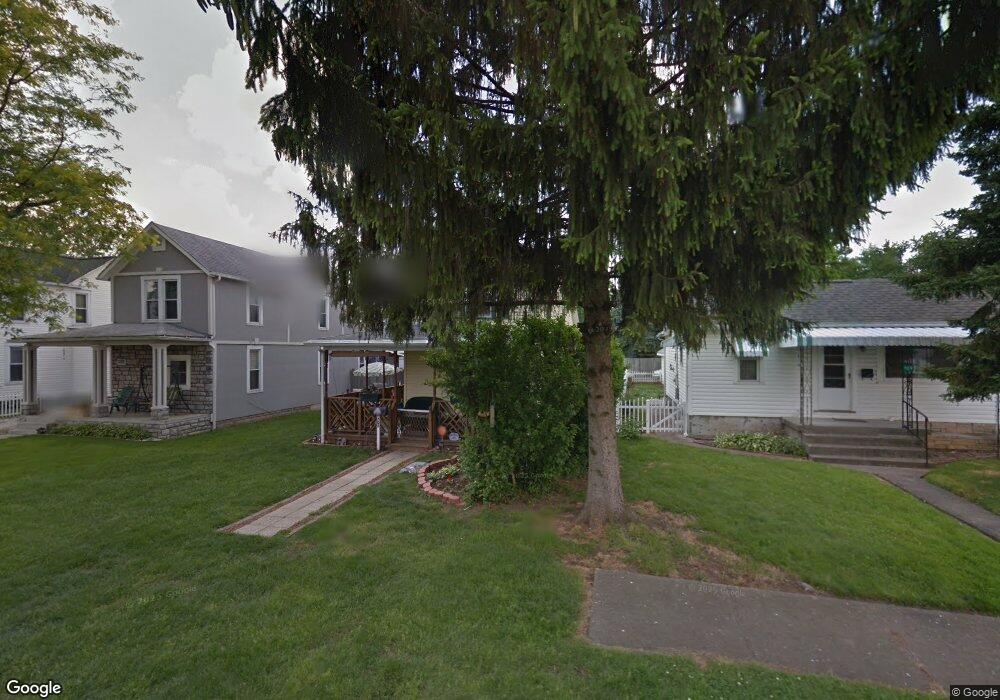
707 N Roosevelt Ave Lancaster, OH 43130
Estimated Value: $153,000 - $200,000
3
Beds
1
Bath
1,232
Sq Ft
$143/Sq Ft
Est. Value
About This Home
This home is located at 707 N Roosevelt Ave, Lancaster, OH 43130 and is currently estimated at $176,063, approximately $142 per square foot. 707 N Roosevelt Ave is a home located in Fairfield County with nearby schools including General Sherman Junior High School, Lancaster High School, and St Mary Elementary School.
Ownership History
Date
Name
Owned For
Owner Type
Purchase Details
Closed on
Jun 20, 2024
Sold by
Dille Gary L and Dille Barbara J
Bought by
Dille Family Trust and Dille
Current Estimated Value
Purchase Details
Closed on
Jul 8, 2004
Sold by
Dille Gary L
Bought by
Dille Gary L and Dille Barbara J
Create a Home Valuation Report for This Property
The Home Valuation Report is an in-depth analysis detailing your home's value as well as a comparison with similar homes in the area
Home Values in the Area
Average Home Value in this Area
Purchase History
| Date | Buyer | Sale Price | Title Company |
|---|---|---|---|
| Dille Family Trust | -- | None Listed On Document | |
| Dille Gary L | -- | -- |
Source: Public Records
Tax History Compared to Growth
Tax History
| Year | Tax Paid | Tax Assessment Tax Assessment Total Assessment is a certain percentage of the fair market value that is determined by local assessors to be the total taxable value of land and additions on the property. | Land | Improvement |
|---|---|---|---|---|
| 2024 | $3,511 | $39,050 | $5,820 | $33,230 |
| 2023 | $1,437 | $39,050 | $5,820 | $33,230 |
| 2022 | $1,441 | $39,050 | $5,820 | $33,230 |
| 2021 | $1,134 | $28,710 | $5,820 | $22,890 |
| 2020 | $1,061 | $28,710 | $5,820 | $22,890 |
| 2019 | $1,034 | $28,710 | $5,820 | $22,890 |
| 2018 | $857 | $23,680 | $5,820 | $17,860 |
| 2017 | $857 | $22,790 | $5,820 | $16,970 |
| 2016 | $835 | $22,790 | $5,820 | $16,970 |
| 2015 | $859 | $22,890 | $5,820 | $17,070 |
| 2014 | -- | $22,890 | $5,820 | $17,070 |
| 2013 | -- | $22,890 | $5,820 | $17,070 |
Source: Public Records
Map
Nearby Homes
- 1422 Graylock St
- 1628 W Fair Ave
- 401 Busby Ave
- 844 Washington Ave
- 404 Garfield Ave
- 943 Garfield Ave
- 628 Harrison Ave
- 941 Beacon St
- 429 Harrison Ave
- 664 N Shoshone Dr
- 936 Harrison Ave
- 317 Harrison Ave
- 140 Sherman Ave
- 136 Sherman Ave
- 132 N Pierce Ave
- 461 N Shoshone Dr
- 1000 Goodwin Ave
- 530 W 6th Ave
- 1511 Cedar Hill Rd
- 1318 Cedar Hill Rd
- 705 N Roosevelt Ave
- 709 N Roosevelt Ave
- 721 N Roosevelt Ave
- 725 N Roosevelt Ave
- 1311 W 7th Ave
- 1301 W 7th Ave
- 716 Jefferson Ave
- 715 N Roosevelt Ave
- 720 Jefferson Ave
- 1225 W 7th Ave
- 712 N Roosevelt Ave
- 716 N Roosevelt Ave
- 708 N Roosevelt Ave
- 724 Jefferson Ave
- 720 N Roosevelt Ave
- 717 N Roosevelt Ave
- 1221 W 7th Ave
- 1312 W 7th Ave
- 641 N Roosevelt Ave
- 728 Jefferson Ave