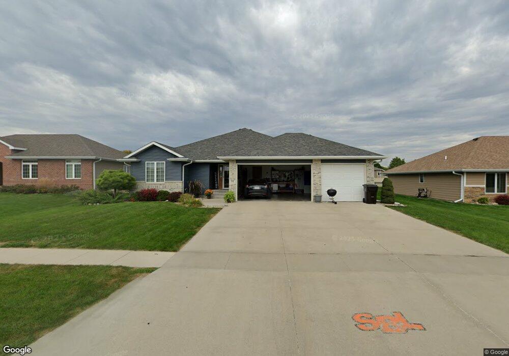
707 Stable Path Sergeant Bluff, IA 51054
Estimated Value: $351,000 - $465,000
3
Beds
7
Baths
1,758
Sq Ft
$240/Sq Ft
Est. Value
About This Home
This home is located at 707 Stable Path, Sergeant Bluff, IA 51054 and is currently estimated at $422,409, approximately $240 per square foot. 707 Stable Path is a home located in Woodbury County with nearby schools including Sergeant Bluff-Luton Primary School, Sergeant Bluff-Luton Elementary School, and Sergeant Bluff-Luton Middle School.
Ownership History
Date
Name
Owned For
Owner Type
Purchase Details
Closed on
Nov 12, 2020
Sold by
Zimmerman Eleanor A
Bought by
Hamilton Cary
Current Estimated Value
Home Financials for this Owner
Home Financials are based on the most recent Mortgage that was taken out on this home.
Original Mortgage
$48,000
Outstanding Balance
$1,710
Interest Rate
2.8%
Mortgage Type
New Conventional
Estimated Equity
$420,699
Purchase Details
Closed on
Aug 21, 2009
Sold by
Fletcher Dennis M and Fletcher Susan F
Bought by
Hamilton Cary W and Hamilton Leatha L
Create a Home Valuation Report for This Property
The Home Valuation Report is an in-depth analysis detailing your home's value as well as a comparison with similar homes in the area
Home Values in the Area
Average Home Value in this Area
Purchase History
| Date | Buyer | Sale Price | Title Company |
|---|---|---|---|
| Hamilton Cary | $60,000 | None Available | |
| Hamilton Cary W | $223,000 | -- |
Source: Public Records
Mortgage History
| Date | Status | Borrower | Loan Amount |
|---|---|---|---|
| Open | Hamilton Cary | $48,000 |
Source: Public Records
Tax History
| Year | Tax Paid | Tax Assessment Tax Assessment Total Assessment is a certain percentage of the fair market value that is determined by local assessors to be the total taxable value of land and additions on the property. | Land | Improvement |
|---|---|---|---|---|
| 2025 | $5,654 | $406,380 | $43,540 | $362,840 |
| 2024 | $55 | $376,780 | $35,330 | $341,450 |
| 2023 | $6,102 | $376,780 | $35,330 | $341,450 |
| 2022 | $6,048 | $356,120 | $35,330 | $320,790 |
| 2021 | $6,048 | $356,120 | $35,330 | $320,790 |
| 2020 | $4,596 | $267,560 | $37,800 | $229,760 |
| 2019 | $4,468 | $267,560 | $37,800 | $229,760 |
| 2018 | $4,358 | $256,630 | $37,800 | $218,830 |
| 2017 | $4,728 | $256,630 | $37,800 | $218,830 |
| 2016 | $4,816 | $256,630 | $0 | $0 |
| 2015 | $4,383 | $239,840 | $35,330 | $204,510 |
| 2014 | $4,135 | $219,390 | $35,330 | $184,060 |
Source: Public Records
Map
Nearby Homes
- 709 Stable Path
- 705 Stable Path
- 711 Stable Path
- 704 Coffie Farm Rd
- 706 Coffie Farm Rd
- 703 Stable Path
- 802 Cottonwood Trail
- 802 Cottonwood Landing - Lot 59
- 708 Coffie Farm Rd
- 708 Stable Path
- 801 Cottonwood Trail
- 710 Coffie Farm Rd
- 713 Stable Path
- 701 Stable Path
- 702 Coffie Farm Rd
- 710 Stable Path
- 712 Coffie Farm Rd
- 715 Stable Path
- 803 Cottonwood Trail
- 715 Stable Path
Your Personal Tour Guide
Ask me questions while you tour the home.