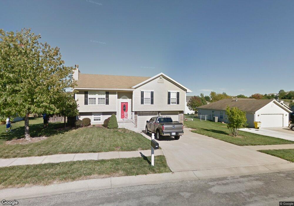
707 SW Whitestone Dr Grain Valley, MO 64029
Estimated Value: $279,321 - $302,000
3
Beds
2
Baths
1,206
Sq Ft
$241/Sq Ft
Est. Value
About This Home
This home is located at 707 SW Whitestone Dr, Grain Valley, MO 64029 and is currently estimated at $290,580, approximately $240 per square foot. 707 SW Whitestone Dr is a home located in Jackson County with nearby schools including Grain Valley High School.
Ownership History
Date
Name
Owned For
Owner Type
Purchase Details
Closed on
Jul 18, 2022
Sold by
Country Club Homes Ii Llc
Bought by
Payne Robert A
Current Estimated Value
Purchase Details
Closed on
Jul 3, 1998
Sold by
Frost Construction Co
Bought by
Misiorowski Thomas W and Misiorowski Crystal I
Home Financials for this Owner
Home Financials are based on the most recent Mortgage that was taken out on this home.
Original Mortgage
$97,648
Interest Rate
6.94%
Mortgage Type
FHA
Purchase Details
Closed on
Apr 23, 1998
Sold by
Ward Development & Investment Co
Bought by
Frost Construction Co
Create a Home Valuation Report for This Property
The Home Valuation Report is an in-depth analysis detailing your home's value as well as a comparison with similar homes in the area
Home Values in the Area
Average Home Value in this Area
Purchase History
| Date | Buyer | Sale Price | Title Company |
|---|---|---|---|
| Payne Robert A | -- | None Listed On Document | |
| Misiorowski Thomas W | -- | -- | |
| Frost Construction Co | -- | -- |
Source: Public Records
Mortgage History
| Date | Status | Borrower | Loan Amount |
|---|---|---|---|
| Previous Owner | Misiorowski Thomas W | $97,648 |
Source: Public Records
Tax History Compared to Growth
Tax History
| Year | Tax Paid | Tax Assessment Tax Assessment Total Assessment is a certain percentage of the fair market value that is determined by local assessors to be the total taxable value of land and additions on the property. | Land | Improvement |
|---|---|---|---|---|
| 2025 | $3,239 | $39,951 | $8,010 | $31,941 |
| 2024 | $3,239 | $39,322 | $4,704 | $34,618 |
| 2023 | $3,118 | $39,322 | $5,757 | $33,565 |
| 2022 | $2,739 | $30,210 | $3,781 | $26,429 |
| 2021 | $2,674 | $30,210 | $3,781 | $26,429 |
| 2020 | $2,702 | $30,110 | $3,781 | $26,329 |
| 2019 | $2,647 | $30,110 | $3,781 | $26,329 |
| 2018 | $2,466 | $26,205 | $3,290 | $22,915 |
| 2017 | $2,466 | $26,205 | $3,290 | $22,915 |
| 2016 | $2,380 | $25,310 | $3,428 | $21,882 |
| 2014 | $2,352 | $24,814 | $3,361 | $21,453 |
Source: Public Records
Map
Nearby Homes
- 636 SW Lakeview Dr
- 1215 SW Lone Star Ct
- 1214 SW Windcrest Ct
- 1219 SW Windcrest Ct
- 714 SW Brome Dr
- 509 SW Joseph Ct
- 1203 SW Lakeview Dr
- 1309 SW Graystone Cir
- 1200 SW Foxtail Dr
- 913 SW Abar Dr
- 1024 Christie Ln
- 719 S Minter Rd
- 725 SW Tisha Ln
- 640 SW Crestview Dr
- 1010 SW Cross Creek Dr
- 401 S Minter Rd
- 1414 SW Blue Branch Dr
- 1418 SW Blue Branch Dr
- 209 SW Cross Creek Dr
- 621 SW Tisha Ln
- 705 SW Whitestone Dr
- 709 SW Whitestone Dr
- 706 SW Graystone Dr
- 701 SW Whitestone Dr
- 708 SW Whitestone Dr
- 712 SW Graystone Dr
- 706 SW Whitestone Dr
- 704 SW Graystone Dr
- 711 SW Graystone Dr
- 704 SW Whitestone Dr
- 700 SW Graystone Dr
- 611 SW Whitestone Dr
- 702 SW Whitestone Dr
- 713 SW Graystone Dr
- 705 SW Graystone Dr
- 1113 SW Graystone Ct
- 714 SW Graystone Dr
- 609 SW Whitestone Dr
- 1117 SW Graystone Ct
- 700 SW Whitestone Dr