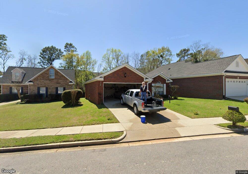
7073 Crown Pointe Dr Mobile, AL 36695
Thornhill NeighborhoodEstimated Value: $217,500 - $239,000
3
Beds
2
Baths
1,753
Sq Ft
$128/Sq Ft
Est. Value
About This Home
This home is located at 7073 Crown Pointe Dr, Mobile, AL 36695 and is currently estimated at $224,625, approximately $128 per square foot. 7073 Crown Pointe Dr is a home located in Mobile County with nearby schools including ER Dickson Elementary School, Burns Middle School, and WP Davidson High School.
Ownership History
Date
Name
Owned For
Owner Type
Purchase Details
Closed on
Sep 22, 2004
Sold by
Fleming Phillip M and Fleming Joanne
Bought by
Slaughter Edward E and Jones Frances A
Current Estimated Value
Home Financials for this Owner
Home Financials are based on the most recent Mortgage that was taken out on this home.
Original Mortgage
$116,000
Outstanding Balance
$55,867
Interest Rate
5.78%
Mortgage Type
VA
Estimated Equity
$168,758
Purchase Details
Closed on
Jun 20, 2002
Sold by
Mclaurin Florence R
Bought by
Fleming Phillip M and Fleming Joanne
Home Financials for this Owner
Home Financials are based on the most recent Mortgage that was taken out on this home.
Original Mortgage
$116,850
Interest Rate
6.77%
Purchase Details
Closed on
Jan 25, 2000
Sold by
Stewart Charles E
Bought by
Mclaurin Florence R
Create a Home Valuation Report for This Property
The Home Valuation Report is an in-depth analysis detailing your home's value as well as a comparison with similar homes in the area
Home Values in the Area
Average Home Value in this Area
Purchase History
| Date | Buyer | Sale Price | Title Company |
|---|---|---|---|
| Slaughter Edward E | $133,000 | -- | |
| Fleming Phillip M | -- | -- | |
| Mclaurin Florence R | -- | -- |
Source: Public Records
Mortgage History
| Date | Status | Borrower | Loan Amount |
|---|---|---|---|
| Open | Slaughter Edward E | $116,000 | |
| Previous Owner | Fleming Phillip M | $116,850 |
Source: Public Records
Tax History
| Year | Tax Paid | Tax Assessment Tax Assessment Total Assessment is a certain percentage of the fair market value that is determined by local assessors to be the total taxable value of land and additions on the property. | Land | Improvement |
|---|---|---|---|---|
| 2025 | -- | $18,650 | $3,500 | $15,150 |
| 2024 | -- | $18,550 | $3,500 | $15,050 |
| 2023 | $0 | $33,660 | $6,400 | $27,260 |
| 2022 | $0 | $34,020 | $6,400 | $27,620 |
| 2021 | $0 | $33,880 | $6,400 | $27,480 |
| 2020 | $0 | $34,240 | $6,400 | $27,840 |
| 2019 | $0 | $34,860 | $6,440 | $28,420 |
| 2018 | $0 | $17,600 | $0 | $0 |
| 2017 | $0 | $16,940 | $0 | $0 |
| 2016 | -- | $17,100 | $0 | $0 |
| 2013 | -- | $16,480 | $0 | $0 |
Source: Public Records
Map
Nearby Homes
- 1263 Smithfield Rd E
- 6939 Johnston Ln
- 1361 Dellwyn Ct
- 1130 Jonathan Ct
- 6701 Somerby Ln
- 6601 Somerby Ln
- 1484 Pebble Creek Dr
- 1000 Choctaw Bluff Rd
- 7229 Hawkins Manor
- 7224 Hawkins Manor
- 7394 Hawkins W
- 1265 Hanover Ct
- 6848 Somerby Ln
- 7228 Hawkins Manor
- 7336 Hawkins S
- 7332 Hawkins Manor N
- 7328 Hawkins Manor S
- 6608 Chimney Top Dr N
- 7183 Pine Barren Ct
- 7340 Hawkins Manor N
- 7077 Crown Pointe Dr
- 7069 Crown Pointe Dr
- 7081 Crown Pointe Dr
- 7085 Crown Pointe Dr
- 7070 Crown Pointe Dr
- 7066 Crown Pointe Dr
- 7089 Crown Pointe Dr
- 7074 Crown Pointe Dr
- 7062 Crown Pointe Dr
- 1153 Cody Rd S
- 7078 Crown Pointe Dr
- 7082 Crown Pointe Dr
- 7065 Crown Pointe Dr
- 7093 Crown Pointe Dr
- 7058 Crown Pointe Dr
- 7086 Crown Pointe Dr
- 7054 Crown Pointe Dr
- 7090 Crown Pointe Dr
- 7097 Crown Pointe Dr
- 7094 Crown Pointe Dr
Your Personal Tour Guide
Ask me questions while you tour the home.