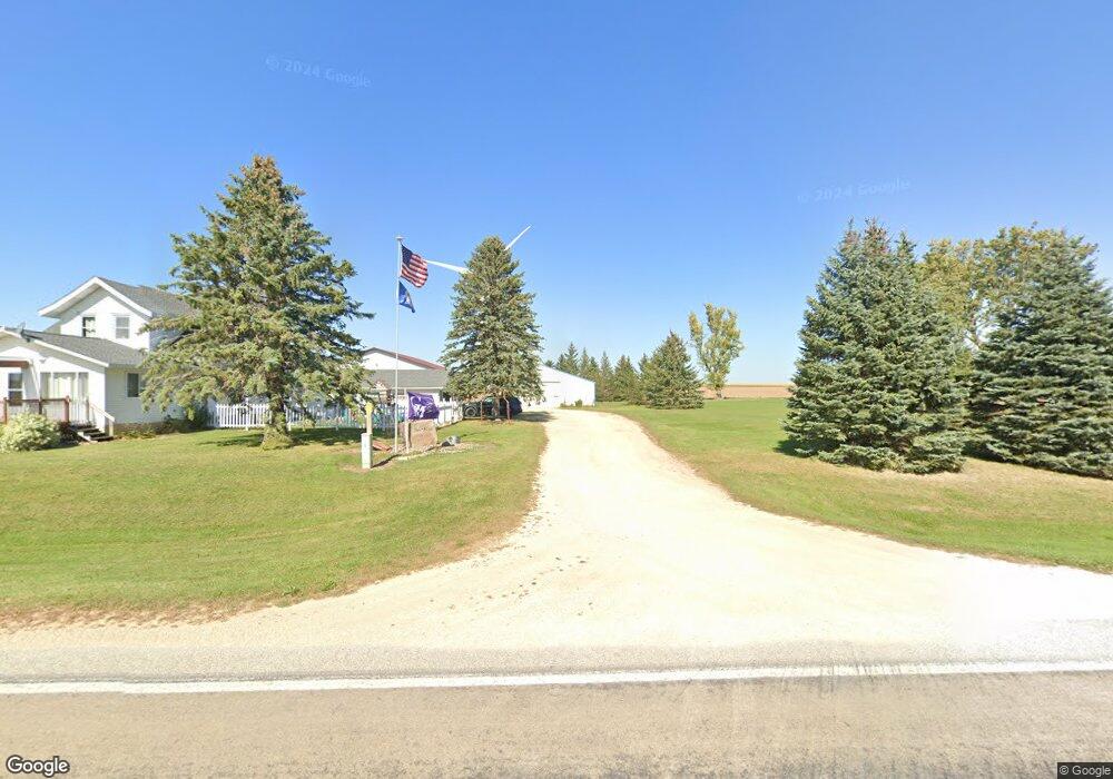
70742 260th St Grand Meadow, MN 55936
Estimated Value: $308,000 - $578,267
4
Beds
2
Baths
2,233
Sq Ft
$196/Sq Ft
Est. Value
About This Home
This home is located at 70742 260th St, Grand Meadow, MN 55936 and is currently estimated at $438,317, approximately $196 per square foot. 70742 260th St is a home with nearby schools including Grand Meadow Middle School.
Ownership History
Date
Name
Owned For
Owner Type
Purchase Details
Closed on
Oct 19, 2010
Sold by
Jacobson Ronald
Bought by
Jacobson Mark
Current Estimated Value
Home Financials for this Owner
Home Financials are based on the most recent Mortgage that was taken out on this home.
Original Mortgage
$144,338
Outstanding Balance
$49,106
Interest Rate
4.3%
Mortgage Type
Unknown
Estimated Equity
$389,211
Purchase Details
Closed on
Mar 18, 2009
Sold by
Jacobson Rae and Jacobson Jackie Rae
Bought by
Jacobson Richard W
Create a Home Valuation Report for This Property
The Home Valuation Report is an in-depth analysis detailing your home's value as well as a comparison with similar homes in the area
Home Values in the Area
Average Home Value in this Area
Purchase History
| Date | Buyer | Sale Price | Title Company |
|---|---|---|---|
| Jacobson Mark | $144,339 | None Available | |
| Jacobson Richard W | -- | None Available |
Source: Public Records
Mortgage History
| Date | Status | Borrower | Loan Amount |
|---|---|---|---|
| Open | Jacobson Mark | $144,338 |
Source: Public Records
Tax History Compared to Growth
Tax History
| Year | Tax Paid | Tax Assessment Tax Assessment Total Assessment is a certain percentage of the fair market value that is determined by local assessors to be the total taxable value of land and additions on the property. | Land | Improvement |
|---|---|---|---|---|
| 2025 | $2,688 | $486,800 | $154,100 | $332,700 |
| 2024 | $2,688 | $496,500 | $151,000 | $345,500 |
| 2023 | $2,186 | $477,800 | $147,500 | $330,300 |
| 2022 | $2,002 | $424,600 | $133,000 | $291,600 |
| 2021 | $1,540 | $360,900 | $118,100 | $242,800 |
| 2020 | $1,532 | $291,400 | $120,200 | $171,200 |
| 2018 | $551 | $268,200 | $86,700 | $181,500 |
| 2017 | $1,102 | $0 | $0 | $0 |
| 2016 | $1,084 | $0 | $0 | $0 |
| 2015 | $1,288 | $0 | $0 | $0 |
| 2012 | $1,288 | $0 | $0 | $0 |
Source: Public Records
Map
Nearby Homes
- TBD N Pine St
- XXX 257th St
- 25635 739th Ave
- TBD Cedar L3b2 St
- TBD Cedar L6b1 St
- 304 1st St NW
- 117 1st St NW
- 213 2nd St NE
- 405 4th St NE
- 213 5th St NE
- TBD 1st Ave SE
- Blk 1 lot 7 Glynn Ave SE
- 101 Brittany Way SE
- 107 Brittany Way SE
- 119 Brittany Way SE
- Block 2 Lot 6 Glynn Ave SE
- 527 Elliot Dr Se Brook
- xxx 739th Ave
- 204 N Adams St
- TBD S Adams St