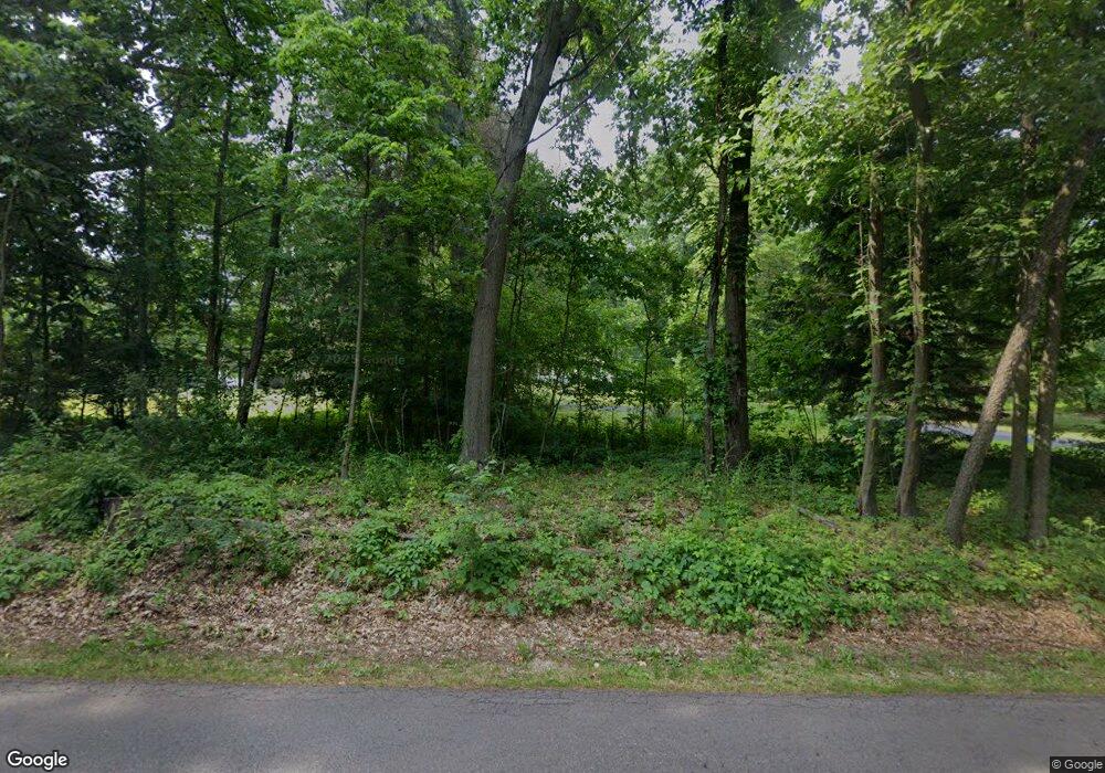
7076 W R Ave Kalamazoo, MI 49009
Estimated Value: $384,000 - $507,000
--
Bed
1
Bath
1,876
Sq Ft
$239/Sq Ft
Est. Value
About This Home
This home is located at 7076 W R Ave, Kalamazoo, MI 49009 and is currently estimated at $447,759, approximately $238 per square foot. 7076 W R Ave is a home located in Kalamazoo County with nearby schools including Mattawan Early Elementary School, Mattawan Later Elementary School, and Mattawan Middle School.
Ownership History
Date
Name
Owned For
Owner Type
Purchase Details
Closed on
Oct 3, 2012
Sold by
Howe Sandra A and Hettinga Sandra A
Bought by
Howe Sandra A and Howe Douglas P
Current Estimated Value
Home Financials for this Owner
Home Financials are based on the most recent Mortgage that was taken out on this home.
Original Mortgage
$75,500
Interest Rate
3.57%
Mortgage Type
New Conventional
Purchase Details
Closed on
Feb 20, 2008
Sold by
The Sandra A Hettinga Revocable Trust
Bought by
Hettinga Sandra A
Home Financials for this Owner
Home Financials are based on the most recent Mortgage that was taken out on this home.
Original Mortgage
$80,000
Interest Rate
5.9%
Mortgage Type
New Conventional
Purchase Details
Closed on
Oct 11, 2004
Sold by
Hettinga Sandra A
Bought by
Hettinga Sandra A and The Sandra A Hettinga Revocable Trust
Create a Home Valuation Report for This Property
The Home Valuation Report is an in-depth analysis detailing your home's value as well as a comparison with similar homes in the area
Home Values in the Area
Average Home Value in this Area
Purchase History
| Date | Buyer | Sale Price | Title Company |
|---|---|---|---|
| Howe Sandra A | -- | Chicago Title | |
| Hettinga Sandra A | -- | Chicago Title | |
| Hettinga Sandra A | -- | -- |
Source: Public Records
Mortgage History
| Date | Status | Borrower | Loan Amount |
|---|---|---|---|
| Closed | Howe Sandra A | $75,500 | |
| Closed | Hettinga Sandra A | $80,000 |
Source: Public Records
Tax History Compared to Growth
Tax History
| Year | Tax Paid | Tax Assessment Tax Assessment Total Assessment is a certain percentage of the fair market value that is determined by local assessors to be the total taxable value of land and additions on the property. | Land | Improvement |
|---|---|---|---|---|
| 2025 | $4,238 | $209,300 | $0 | $0 |
| 2024 | $1,338 | $213,300 | $0 | $0 |
| 2023 | $1,275 | $192,400 | $0 | $0 |
| 2022 | $3,854 | $176,500 | $0 | $0 |
| 2021 | $3,746 | $171,800 | $0 | $0 |
| 2020 | $3,627 | $173,700 | $0 | $0 |
| 2019 | $3,290 | $160,000 | $0 | $0 |
| 2018 | $2,233 | $152,600 | $0 | $0 |
| 2017 | -- | $153,400 | $0 | $0 |
| 2016 | -- | $151,700 | $0 | $0 |
| 2015 | -- | $122,600 | $42,400 | $80,200 |
| 2014 | -- | $122,600 | $0 | $0 |
Source: Public Records
Map
Nearby Homes
- 9030 S 8th St
- 8365 Logan Bay St
- 7542 Northport Ave Unit 38
- 7148 Texas Heights Ave
- 7426 Texas Heights Ave
- 8188 Coneflower Cove
- 7207 Coreopsis Cove
- 7875 Port Hope Dr Unit 13
- 8022 Magistrate St
- 6737 W Q Ave
- 7876 Turning Stone
- 9116 S 6th St
- 7839 Clydesdale Ave Unit 93
- 8197 Turning Stone
- 8167 Turning Stone
- 8020 Turning Stone
- 7899 Turning Stone
- 8114 Turning Stone
- 8272 Bainbridge Dr
- 7414 Field Bay Ave Unit 12
