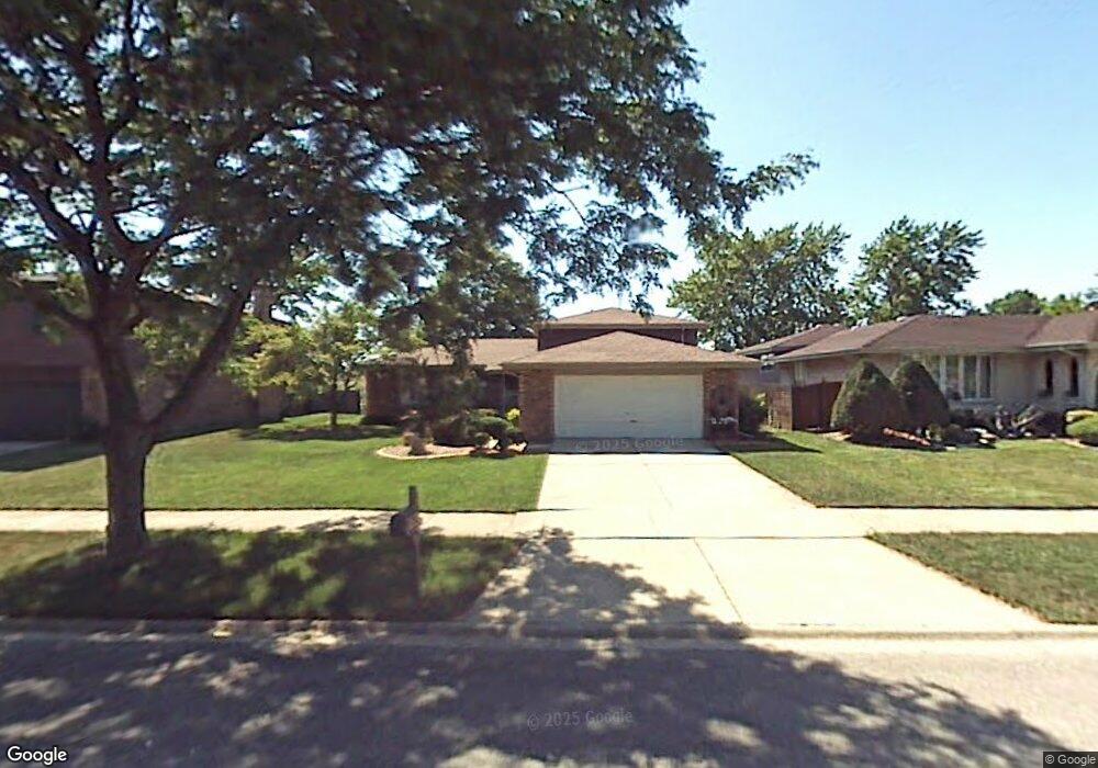
708 Cornfield Rd Matteson, IL 60443
West Matteson NeighborhoodEstimated Value: $218,000 - $267,000
3
Beds
2
Baths
1,307
Sq Ft
$192/Sq Ft
Est. Value
About This Home
This home is located at 708 Cornfield Rd, Matteson, IL 60443 and is currently estimated at $250,461, approximately $191 per square foot. 708 Cornfield Rd is a home located in Cook County with nearby schools including Colin Powell Middle School and Southland College Prep.
Ownership History
Date
Name
Owned For
Owner Type
Purchase Details
Closed on
Jun 10, 2003
Sold by
Horton Charlene and Horton Edgar
Bought by
Williams Wayne C and Williams Andrea
Current Estimated Value
Home Financials for this Owner
Home Financials are based on the most recent Mortgage that was taken out on this home.
Original Mortgage
$130,000
Outstanding Balance
$53,761
Interest Rate
5.36%
Mortgage Type
Unknown
Estimated Equity
$196,700
Purchase Details
Closed on
Dec 1, 1997
Sold by
Wallace Raymond
Bought by
Horton Edgar and Horton Charlene
Home Financials for this Owner
Home Financials are based on the most recent Mortgage that was taken out on this home.
Original Mortgage
$38,600
Interest Rate
7.24%
Create a Home Valuation Report for This Property
The Home Valuation Report is an in-depth analysis detailing your home's value as well as a comparison with similar homes in the area
Home Values in the Area
Average Home Value in this Area
Purchase History
| Date | Buyer | Sale Price | Title Company |
|---|---|---|---|
| Williams Wayne C | $130,000 | Chicago Title Insurance Comp | |
| Horton Edgar | -- | -- |
Source: Public Records
Mortgage History
| Date | Status | Borrower | Loan Amount |
|---|---|---|---|
| Open | Williams Wayne C | $130,000 | |
| Previous Owner | Horton Edgar | $38,600 |
Source: Public Records
Tax History
| Year | Tax Paid | Tax Assessment Tax Assessment Total Assessment is a certain percentage of the fair market value that is determined by local assessors to be the total taxable value of land and additions on the property. | Land | Improvement |
|---|---|---|---|---|
| 2025 | $6,646 | $21,023 | $3,836 | $17,187 |
| 2024 | $6,646 | $21,023 | $3,836 | $17,187 |
| 2023 | $4,403 | $22,000 | $3,836 | $18,164 |
| 2022 | $4,403 | $14,381 | $3,357 | $11,024 |
| 2021 | $4,532 | $14,380 | $3,356 | $11,024 |
| 2020 | $5,889 | $14,380 | $3,356 | $11,024 |
| 2019 | $5,342 | $13,206 | $3,116 | $10,090 |
| 2018 | $5,261 | $13,206 | $3,116 | $10,090 |
| 2017 | $5,147 | $13,206 | $3,116 | $10,090 |
| 2016 | $5,507 | $13,138 | $2,877 | $10,261 |
| 2015 | $5,343 | $13,138 | $2,877 | $10,261 |
| 2014 | $5,225 | $13,138 | $2,877 | $10,261 |
| 2013 | $5,620 | $14,846 | $2,877 | $11,969 |
Source: Public Records
Map
Nearby Homes
- 6158 White Birch Ln
- 6306 Beaver Dam Rd
- 6125 Sunflower Dr
- 6216 Pond View Dr
- 443 Danielle Rd
- 6037 Spring Ln
- 6021 Spring Ln
- 6237 Michael Ln
- 72 White Oaks Rd
- 21131 Vivienne Dr
- 21143 Gray Hawk Dr Unit 2554
- 152 Oakhurst Rd
- 5804 Kathryn Ln
- 124 Oriole Rd
- 123 Oriole Rd
- 5808 Allemong Dr
- 6503 Blue Sky Ln Unit 2502
- 21156 Christina Dr
- 41 Willow Rd
- 1010 Regent Dr
- 716 Cornfield Rd
- 702 Cornfield Rd
- 722 Cornfield Rd
- 6253 Sunflower Dr
- 6252 White Birch Ln
- 730 Cornfield Rd
- 6300 Sunflower Dr
- 6314 Sunflower Dr
- 6245 Sunflower Dr
- 6260 Sunflower Dr
- 6244 White Birch Ln
- 736 Cornfield Rd
- 6320 Sunflower Dr
- 6252 Sunflower Dr
- 6253 White Birch Ln
- 6328 Sunflower Dr
- 6237 Sunflower Dr
- 6238 White Birch Ln
- 6244 Sunflower Dr
Your Personal Tour Guide
Ask me questions while you tour the home.