Estimated Value: $396,000 - $470,000
3
Beds
3
Baths
1,446
Sq Ft
$295/Sq Ft
Est. Value
About This Home
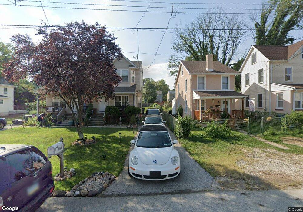
This home is located at 708 Forrest Ave, Media, PA 19063 and is currently estimated at $426,058, approximately $294 per square foot. 708 Forrest Ave is a home located in Delaware County with nearby schools including Wallingford Elementary School, Strath Haven Middle School, and Strath Haven High School.
Ownership History
Date
Name
Owned For
Owner Type
Purchase Details
Closed on
Dec 16, 2005
Sold by
Edwards John F and Ambrose Shirley Edwards
Bought by
Savar David L
Current Estimated Value
Home Financials for this Owner
Home Financials are based on the most recent Mortgage that was taken out on this home.
Original Mortgage
$65,000
Outstanding Balance
$36,584
Interest Rate
6.39%
Mortgage Type
Purchase Money Mortgage
Estimated Equity
$389,474
Create a Home Valuation Report for This Property
The Home Valuation Report is an in-depth analysis detailing your home's value as well as a comparison with similar homes in the area
Home Values in the Area
Average Home Value in this Area
Purchase History
| Date | Buyer | Sale Price | Title Company |
|---|---|---|---|
| Savar David L | $80,500 | None Available |
Source: Public Records
Mortgage History
| Date | Status | Borrower | Loan Amount |
|---|---|---|---|
| Open | Savar David L | $65,000 |
Source: Public Records
Tax History Compared to Growth
Tax History
| Year | Tax Paid | Tax Assessment Tax Assessment Total Assessment is a certain percentage of the fair market value that is determined by local assessors to be the total taxable value of land and additions on the property. | Land | Improvement |
|---|---|---|---|---|
| 2025 | $8,695 | $243,880 | $55,180 | $188,700 |
| 2024 | $8,695 | $243,880 | $55,180 | $188,700 |
| 2023 | $8,354 | $243,880 | $55,180 | $188,700 |
| 2022 | $8,177 | $243,880 | $55,180 | $188,700 |
| 2021 | $13,284 | $243,880 | $55,180 | $188,700 |
| 2020 | $7,940 | $137,005 | $31,740 | $105,265 |
| 2019 | $7,720 | $137,005 | $31,740 | $105,265 |
| 2018 | $7,571 | $137,005 | $0 | $0 |
| 2017 | $7,362 | $137,005 | $0 | $0 |
| 2016 | $767 | $137,005 | $0 | $0 |
| 2015 | $767 | $137,005 | $0 | $0 |
| 2014 | $767 | $137,005 | $0 | $0 |
Source: Public Records
Map
Nearby Homes
- 307 Moylan Ave
- 412 E Jefferson St
- 410 E Jefferson St
- 441 E Jefferson St
- 316 Vernon St
- 501 E Jefferson St
- 453 E Franklin St Unit TWIN
- 453 E Franklin St
- 453 E Franklin St Unit TWIN B
- 453 E Franklin St Unit SINGLE
- 5 Buttonwood Way
- 605 S Orange St
- 408 S Olive St Unit 6
- Caspian Plan at Orange Street Walk
- Orange Street Caspian 5 Plan at Orange Street Walk
- 4 W Possum Hollow Rd
- 117 W Possum Hollow Rd
- 5 Manchester Ave
- 316 E Front St
- 25 Green Valley Rd
- 712 Forrest Ave
- 710 Forrest Ave
- 706 Forrest Ave
- 704 Forrest Ave
- 702 Forrest Ave
- 206 Ronaldson St
- 0 Forrest St Unit 5790460
- 709 Washington Ave
- 204 Ronaldson St
- 424 Wallingford Ave
- 115 Ronaldson St
- 707 Washington Ave
- 711 Washington Ave
- 705 Forrest Ave
- 707 Forrest Ave
- 707 Forrest Ave Unit A
- 711 Forrest Ave
- 500 Wallingford Ave
- 107 Ronaldson St
- 200 Ronaldson St