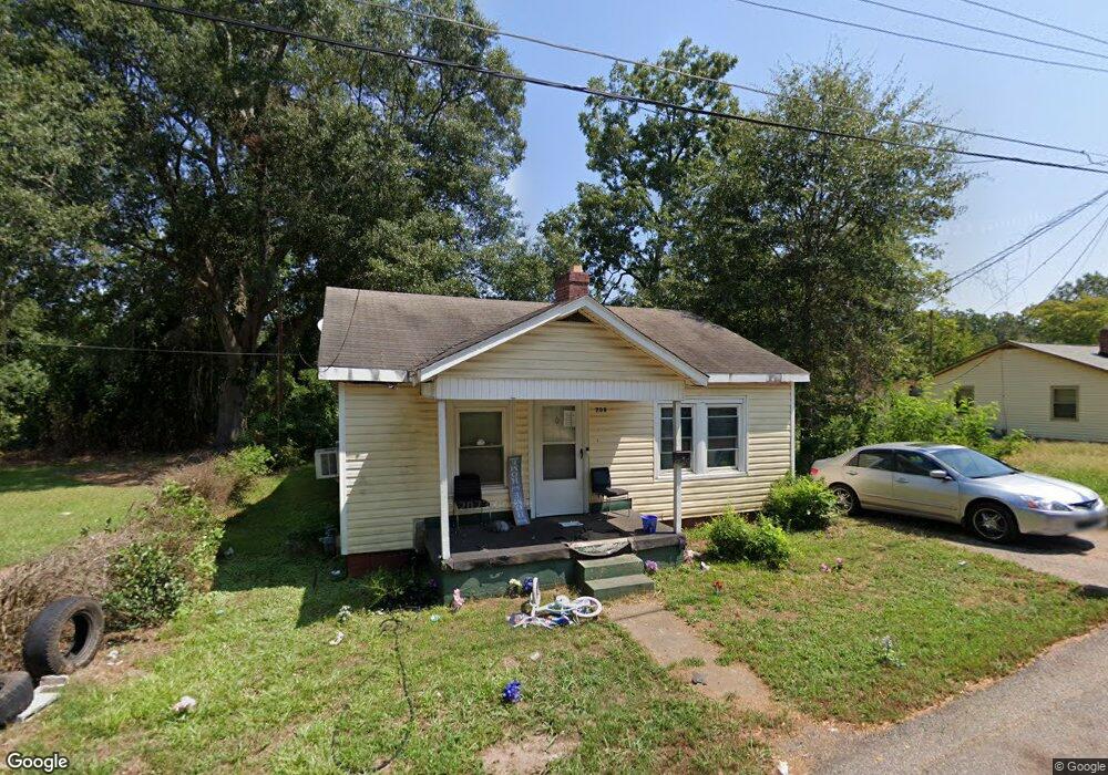
708 Ila St Anderson, SC 29624
Estimated Value: $104,000 - $142,000
2
Beds
--
Bath
965
Sq Ft
$125/Sq Ft
Est. Value
About This Home
This home is located at 708 Ila St, Anderson, SC 29624 and is currently estimated at $120,667, approximately $125 per square foot. 708 Ila St is a home located in Anderson County with nearby schools including Varennes Elementary School, Robert Anderson Middle School, and Westside High School.
Ownership History
Date
Name
Owned For
Owner Type
Purchase Details
Closed on
May 20, 2024
Sold by
Watts Troy
Bought by
Adir Properties Llc
Current Estimated Value
Home Financials for this Owner
Home Financials are based on the most recent Mortgage that was taken out on this home.
Original Mortgage
$79,400
Interest Rate
7.22%
Mortgage Type
Construction
Purchase Details
Closed on
Apr 18, 2021
Sold by
Lee Walter J
Bought by
Watts Troy
Purchase Details
Closed on
Jun 24, 2004
Sold by
Jones Izora Hall Lee
Bought by
Lee Walter J
Create a Home Valuation Report for This Property
The Home Valuation Report is an in-depth analysis detailing your home's value as well as a comparison with similar homes in the area
Home Values in the Area
Average Home Value in this Area
Purchase History
| Date | Buyer | Sale Price | Title Company |
|---|---|---|---|
| Adir Properties Llc | $53,000 | None Listed On Document | |
| Watts Troy | $20,000 | None Available | |
| Lee Walter J | $7,000 | -- |
Source: Public Records
Mortgage History
| Date | Status | Borrower | Loan Amount |
|---|---|---|---|
| Closed | Adir Properties Llc | $79,400 |
Source: Public Records
Tax History Compared to Growth
Tax History
| Year | Tax Paid | Tax Assessment Tax Assessment Total Assessment is a certain percentage of the fair market value that is determined by local assessors to be the total taxable value of land and additions on the property. | Land | Improvement |
|---|---|---|---|---|
| 2024 | $623 | $1,240 | $300 | $940 |
| 2023 | $623 | $1,240 | $300 | $940 |
| 2022 | $585 | $1,240 | $300 | $940 |
| 2021 | $619 | $1,480 | $210 | $1,270 |
| 2020 | $610 | $1,480 | $210 | $1,270 |
| 2019 | $610 | $1,480 | $210 | $1,270 |
| 2018 | $605 | $1,480 | $210 | $1,270 |
| 2017 | -- | $1,480 | $210 | $1,270 |
| 2016 | $532 | $1,630 | $210 | $1,420 |
| 2015 | $534 | $1,630 | $210 | $1,420 |
| 2014 | $524 | $1,630 | $210 | $1,420 |
Source: Public Records
Map
Nearby Homes
- 701 Delia St
- 701 Delia St Unit B
- 701 Delia St Unit A
- 720 722 Gary St
- 00 Ila St
- 719 Dora Dr
- 00 W Franklin St
- 0 W Franklin St
- 1103 Scott Dr
- 0 W Reed St
- 428 W Reed St Unit A&B
- 1105 W Franklin St
- 426 W Reed St Unit A&B
- 424 W Reed St Unit A&B
- 422 W Reed St Unit A&B
- 404 Montague St
- 310 W Hampton St
- 308 W Hampton St
- 902 W Market St
- Lot 1 S Towers St