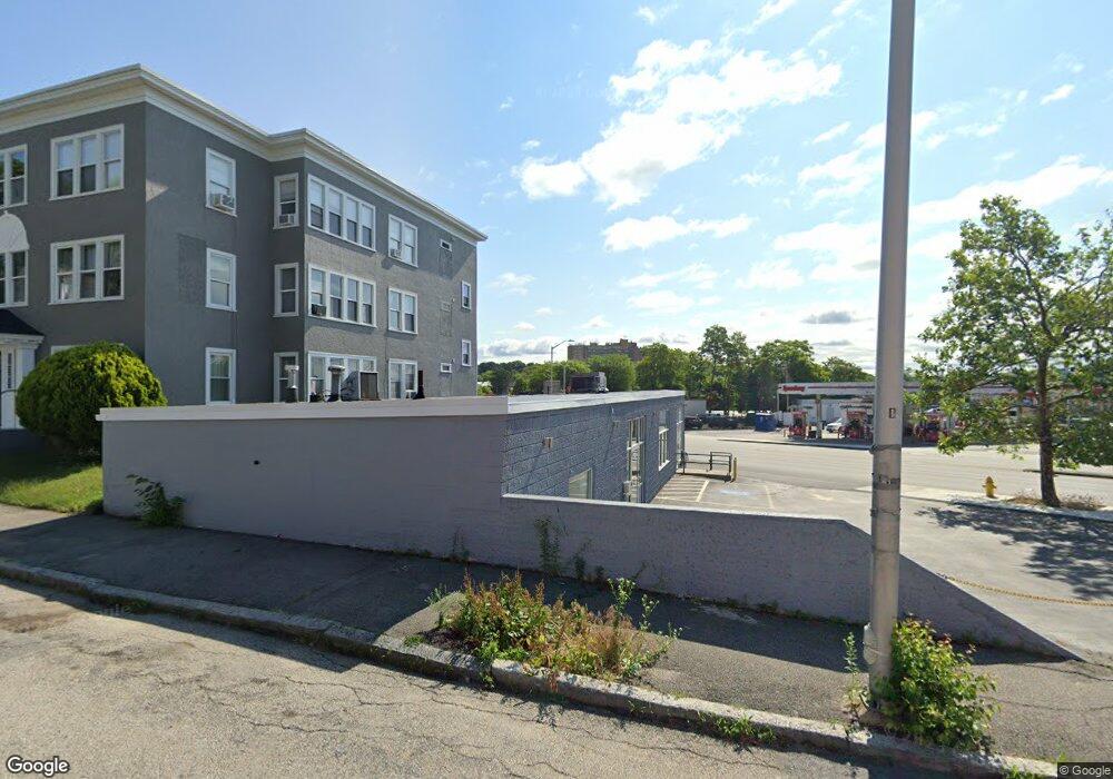
708 Park Ave Worcester, MA 01603
Webster Square NeighborhoodEstimated Value: $529,881
--
Bed
1
Bath
2,104
Sq Ft
$252/Sq Ft
Est. Value
About This Home
This home is located at 708 Park Ave, Worcester, MA 01603 and is currently estimated at $529,881, approximately $251 per square foot. 708 Park Ave is a home located in Worcester County with nearby schools including Gates Lane, Jacob Hiatt Magnet School, and Chandler Magnet.
Ownership History
Date
Name
Owned For
Owner Type
Purchase Details
Closed on
Jul 27, 2020
Sold by
Fairbanks Beret Llc
Bought by
708 Park Avenue Llc
Current Estimated Value
Home Financials for this Owner
Home Financials are based on the most recent Mortgage that was taken out on this home.
Original Mortgage
$248,000
Outstanding Balance
$219,419
Interest Rate
3.1%
Mortgage Type
New Conventional
Estimated Equity
$310,462
Purchase Details
Closed on
May 31, 2017
Sold by
Sjf Realty Llc
Bought by
Fairbanks Beret Inc
Purchase Details
Closed on
Mar 11, 2002
Sold by
Clonmel Corp
Bought by
Sjf Realty Llc
Home Financials for this Owner
Home Financials are based on the most recent Mortgage that was taken out on this home.
Original Mortgage
$144,000
Interest Rate
7.01%
Mortgage Type
Commercial
Purchase Details
Closed on
Mar 21, 1994
Sold by
Pft Enterprises Inc
Bought by
Clonmel Corp
Create a Home Valuation Report for This Property
The Home Valuation Report is an in-depth analysis detailing your home's value as well as a comparison with similar homes in the area
Home Values in the Area
Average Home Value in this Area
Purchase History
| Date | Buyer | Sale Price | Title Company |
|---|---|---|---|
| 708 Park Avenue Llc | $310,000 | None Available | |
| Fairbanks Beret Inc | $292,000 | -- | |
| Sjf Realty Llc | $180,000 | -- | |
| Clonmel Corp | $63,000 | -- |
Source: Public Records
Mortgage History
| Date | Status | Borrower | Loan Amount |
|---|---|---|---|
| Open | 708 Park Avenue Llc | $248,000 | |
| Previous Owner | Clonmel Corp | $144,000 |
Source: Public Records
Tax History Compared to Growth
Tax History
| Year | Tax Paid | Tax Assessment Tax Assessment Total Assessment is a certain percentage of the fair market value that is determined by local assessors to be the total taxable value of land and additions on the property. | Land | Improvement |
|---|---|---|---|---|
| 2025 | $10,883 | $380,400 | $142,200 | $238,200 |
| 2024 | $11,427 | $380,400 | $142,200 | $238,200 |
| 2023 | $11,329 | $362,400 | $123,600 | $238,800 |
| 2022 | $12,079 | $362,400 | $123,600 | $238,800 |
| 2021 | $8,116 | $224,200 | $94,300 | $129,900 |
| 2020 | $8,118 | $230,900 | $94,300 | $136,600 |
| 2019 | $8,058 | $230,900 | $94,300 | $136,600 |
| 2018 | $7,725 | $227,000 | $94,300 | $132,700 |
| 2017 | $7,350 | $223,200 | $94,300 | $128,900 |
| 2016 | $6,993 | $205,800 | $91,500 | $114,300 |
| 2015 | $6,530 | $205,800 | $91,500 | $114,300 |
| 2014 | $6,345 | $205,800 | $91,500 | $114,300 |
Source: Public Records
Map
Nearby Homes
- 18 Lakewood St
- 15 Lakewood St
- 1102 Main St
- 19 Lakewood St
- 1 W Lake St
- 28 Lakewood St
- 3 W Lake St
- 1421 Main St
- 660 Park Ave
- 29 Lakewood St
- 1141 Main St Unit 2
- 1141 Main St Unit B
- 1141 Main St Unit C
- 34 Lakewood St
- 5 W Lake St
- 0 Stafford St
- 711 Park Ave Unit 1
- 23 Curtis St Unit 1
- 4 W Lake St
- 20 Curtis St