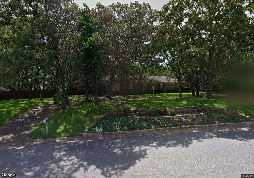
708 Pennsylvania Dr Denton, TX 76205
South Denton NeighborhoodEstimated Value: $353,000
4
Beds
3
Baths
2,912
Sq Ft
$121/Sq Ft
Est. Value
About This Home
This home is located at 708 Pennsylvania Dr, Denton, TX 76205 and is currently priced at $353,000, approximately $121 per square foot. 708 Pennsylvania Dr is a home located in Denton County with nearby schools including Houston Elementary School, McMath Middle School, and Denton High School.
Ownership History
Date
Name
Owned For
Owner Type
Purchase Details
Closed on
Dec 21, 2018
Sold by
Oswald Amy Vinson and Oswald Robert Terry
Bought by
Dibble Russell H and Nolte Wally Sue
Current Estimated Value
Home Financials for this Owner
Home Financials are based on the most recent Mortgage that was taken out on this home.
Original Mortgage
$200,000
Outstanding Balance
$176,556
Interest Rate
4.9%
Mortgage Type
New Conventional
Purchase Details
Closed on
Jul 17, 2005
Sold by
Vinson Amy Lynn
Bought by
Vinson Amy Lynn
Purchase Details
Closed on
Aug 24, 1994
Sold by
Merritt Cynthia Gail
Bought by
Vinson Lindell R and Vinson Dianne E
Create a Home Valuation Report for This Property
The Home Valuation Report is an in-depth analysis detailing your home's value as well as a comparison with similar homes in the area
Home Values in the Area
Average Home Value in this Area
Purchase History
| Date | Buyer | Sale Price | Title Company |
|---|---|---|---|
| Dibble Russell H | -- | None Available | |
| Vinson Amy Lynn | -- | None Available | |
| Vinson Lindell R | -- | -- | |
| Vinson Lindell R | -- | -- |
Source: Public Records
Mortgage History
| Date | Status | Borrower | Loan Amount |
|---|---|---|---|
| Open | Dibble Russell H | $200,000 |
Source: Public Records
Tax History Compared to Growth
Tax History
| Year | Tax Paid | Tax Assessment Tax Assessment Total Assessment is a certain percentage of the fair market value that is determined by local assessors to be the total taxable value of land and additions on the property. | Land | Improvement |
|---|---|---|---|---|
| 2020 | $3,640 | $190,079 | $33,875 | $156,204 |
| 2019 | -- | $363,142 | $67,750 | $295,392 |
| 2018 | -- | $267,300 | $67,750 | $202,250 |
| 2017 | -- | $243,000 | $67,750 | $175,250 |
| 2016 | -- | $233,000 | $67,750 | $165,250 |
| 2015 | -- | $215,000 | $67,750 | $147,250 |
| 2013 | -- | $198,000 | $78,353 | $119,647 |
Source: Public Records
Map
Nearby Homes
- 1000 Lynhurst Ln
- 829 Skylark Dr
- 2226 Savannah Trail
- 821 Sandpiper Dr
- 824 Sandpiper Dr
- 916 Smokerise Cir
- 1012 Indian Ridge Dr
- 2216 Jefferson Trail
- 816 Chapel Dr
- 924 Ridgecrest Cir
- 720 Smokerise Cir
- 1108 Ellison Park Cir
- 2012 Hollyhill Ln
- 2253 Hollyhill Ln
- 2120 Fairfax Rd
- 2218 Southridge Dr
- 2272 Hollyhill Ln
- 2100 Fairfax Rd
- 2009 Lake Fork Ct
- 209 Pennsylvania Dr
- 712 Pennsylvania Dr
- 704 Pennsylvania Dr
- 2229 Pembrooke Place
- 2225 Pembrooke Place
- 1001 Lynhurst Ln
- 705 Pennsylvania Dr
- 709 Pennsylvania Dr
- 2224 Woodbrook St
- 701 Pennsylvania Dr
- 2221 Pembrooke Place
- 1004 Lynhurst Ln
- 2224 Pembrooke Place
- 2220 Woodbrook St
- 2220 Pembrooke Place
- 905 Lynhurst Ln
- 609 Pennsylvania Dr
- 1100 Lynhurst Ln
- 612 Tennyson Trail
- 616 Tennyson Trail
- 910 Lynhurst Ln