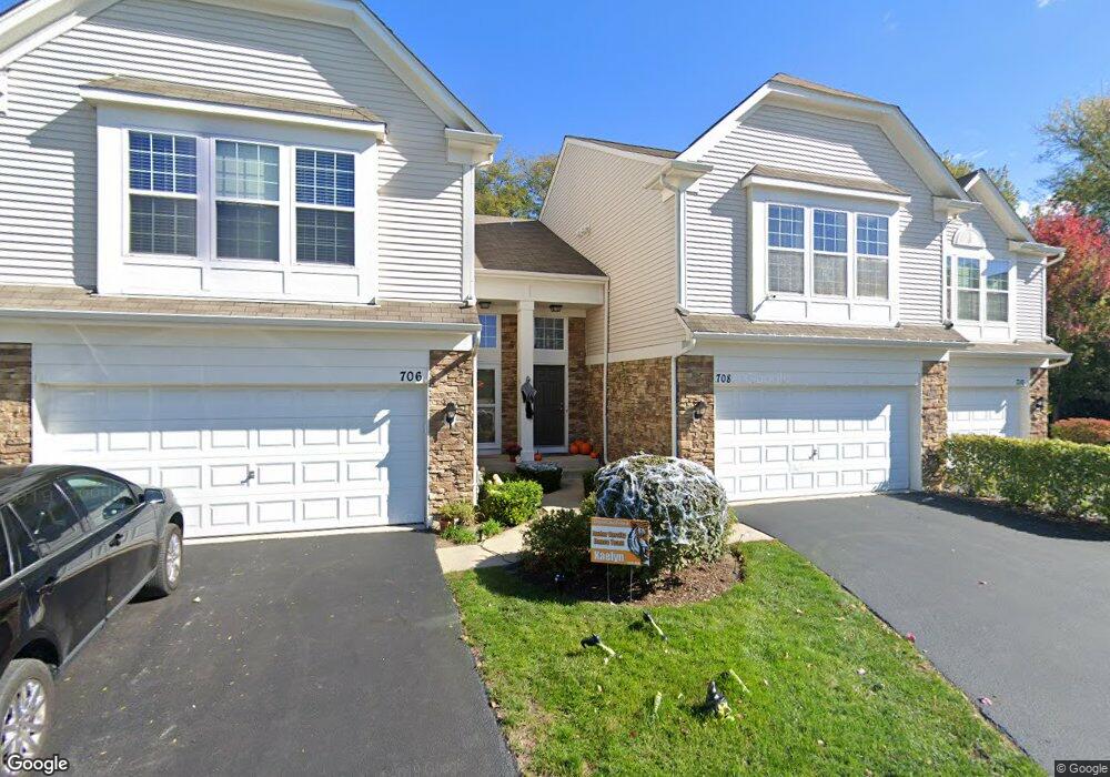
708 Pointe Dr Crystal Lake, IL 60014
Estimated Value: $257,830 - $300,000
3
Beds
3
Baths
1,521
Sq Ft
$189/Sq Ft
Est. Value
About This Home
This home is located at 708 Pointe Dr, Crystal Lake, IL 60014 and is currently estimated at $286,958, approximately $188 per square foot. 708 Pointe Dr is a home located in McHenry County with nearby schools including Canterbury Elementary School, Hannah Beardsley Middle School, and Crystal Lake Central High School.
Ownership History
Date
Name
Owned For
Owner Type
Purchase Details
Closed on
Sep 24, 2013
Sold by
American Homes 4 Rent Lp
Bought by
American Homes 4 Rent Trs Llc
Current Estimated Value
Purchase Details
Closed on
Dec 2, 2005
Sold by
Pulte Homes
Bought by
Tuchscherer Adam
Home Financials for this Owner
Home Financials are based on the most recent Mortgage that was taken out on this home.
Original Mortgage
$174,092
Interest Rate
5.75%
Mortgage Type
Fannie Mae Freddie Mac
Create a Home Valuation Report for This Property
The Home Valuation Report is an in-depth analysis detailing your home's value as well as a comparison with similar homes in the area
Home Values in the Area
Average Home Value in this Area
Purchase History
| Date | Buyer | Sale Price | Title Company |
|---|---|---|---|
| American Homes 4 Rent Trs Llc | -- | None Available | |
| Tuchscherer Adam | $217,615 | -- |
Source: Public Records
Mortgage History
| Date | Status | Borrower | Loan Amount |
|---|---|---|---|
| Previous Owner | Tuchscherer Adam | $174,092 |
Source: Public Records
Tax History Compared to Growth
Tax History
| Year | Tax Paid | Tax Assessment Tax Assessment Total Assessment is a certain percentage of the fair market value that is determined by local assessors to be the total taxable value of land and additions on the property. | Land | Improvement |
|---|---|---|---|---|
| 2024 | $6,096 | $72,003 | $6,469 | $65,534 |
| 2023 | $5,930 | $64,398 | $5,786 | $58,612 |
| 2022 | $5,687 | $60,035 | $5,222 | $54,813 |
| 2021 | $5,402 | $55,930 | $4,865 | $51,065 |
| 2020 | $5,278 | $53,950 | $4,693 | $49,257 |
| 2019 | $5,155 | $51,637 | $4,492 | $47,145 |
| 2018 | $5,040 | $49,490 | $4,150 | $45,340 |
| 2017 | $5,033 | $46,623 | $3,910 | $42,713 |
| 2016 | $4,931 | $43,728 | $3,667 | $40,061 |
| 2013 | -- | $36,420 | $3,420 | $33,000 |
Source: Public Records
Map
Nearby Homes
- +/-5.72 Acres S Illinois Route 31
- 4609 Valerie Dr
- 290 E Congress Pkwy
- 0 Arthur Lot 27 St Unit MRD12290210
- 0 Arthur Lot 32 St Unit MRD12290256
- 0 Arthur Lot 026 St Unit MRD12290197
- 000 SE Route 31 & River Birch SE
- 0 Arthur Lot 022 St Unit MRD12289886
- 0 Arthur Lot 023 St Unit MRD12289968
- 0 Arthur Lot 28 St Unit MRD12290223
- 0 Arthur Lot 33 St Unit MRD12290266
- Lot 1 Virginia St
- 0 Arthur Lot 024 St Unit MRD12290187
- 0 Arthur Lot 021 St Unit MRD12289863
- 548 New Haven Dr
- 1387 New Haven Dr
- 6209 Sands Rd
- Chelsea Plan at Waterside at Three Oaks
- Chatham Plan at Waterside at Three Oaks
- Amherst Plan at Waterside at Three Oaks
- 706 Pointe Dr Unit 92
- 710 Pointe Dr Unit 94
- 704 Pointe Dr Unit 91
- 714 Pointe Dr Unit 81
- 716 Pointe Dr Unit 82
- 718 Pointe Dr Unit 83
- 698 Pointe Dr Unit 103
- 720 Pointe Dr Unit 84
- 4909 State St
- 4911 State St
- 722 Pointe Dr Unit 85
- 4907 State St
- 7205 Shales St
- 7207 Shales St
- 4913 State St
- 7203 Shales St
- 700 Pointe Dr
- 696 Pointe Dr Unit 102
- 7209 Shales St
- 4905 State St