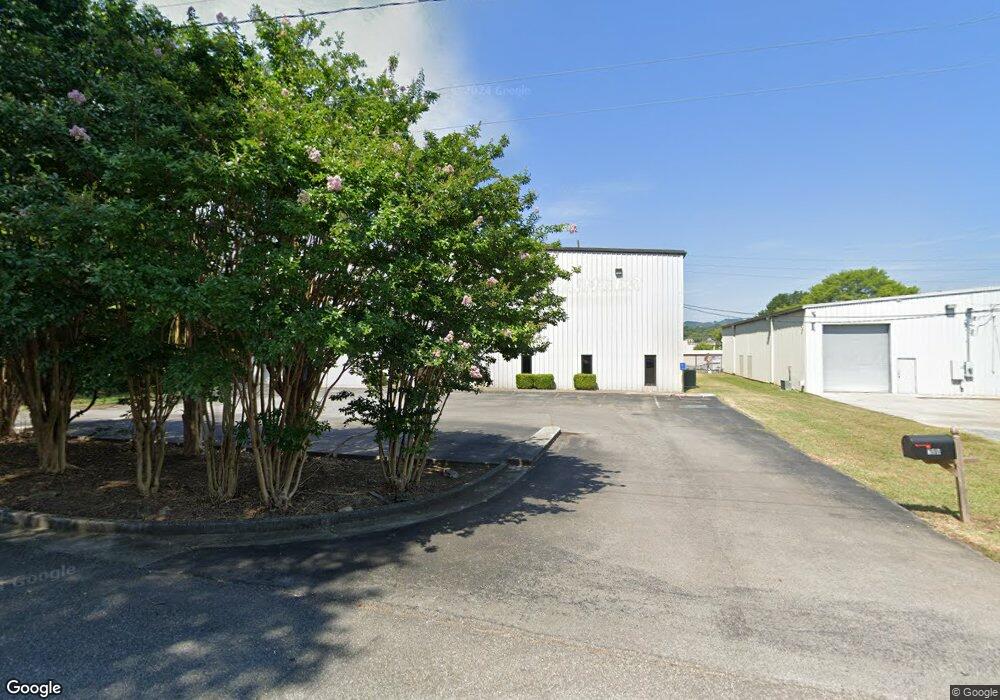
708 Rustwood St Dalton, GA 30721
Estimated Value: $825,524
--
Bed
--
Bath
15,000
Sq Ft
$55/Sq Ft
Est. Value
About This Home
This home is located at 708 Rustwood St, Dalton, GA 30721 and is currently estimated at $825,524, approximately $55 per square foot. 708 Rustwood St is a home located in Whitfield County with nearby schools including Blue Ridge Elementary School, Dalton Middle School, and Dalton High School.
Ownership History
Date
Name
Owned For
Owner Type
Purchase Details
Closed on
Sep 18, 2020
Sold by
W W Grainger Inc
Bought by
Eastern Capital Partners Llc
Current Estimated Value
Home Financials for this Owner
Home Financials are based on the most recent Mortgage that was taken out on this home.
Original Mortgage
$432,000
Interest Rate
2.9%
Mortgage Type
Commercial
Purchase Details
Closed on
Nov 29, 2007
Sold by
Dalton Point Lp
Bought by
W W Grainger Inc
Purchase Details
Closed on
Nov 1, 1998
Bought by
Dalton Point Lp
Create a Home Valuation Report for This Property
The Home Valuation Report is an in-depth analysis detailing your home's value as well as a comparison with similar homes in the area
Home Values in the Area
Average Home Value in this Area
Purchase History
| Date | Buyer | Sale Price | Title Company |
|---|---|---|---|
| Eastern Capital Partners Llc | $540,000 | -- | |
| W W Grainger Inc | $669,000 | -- | |
| Dalton Point Lp | $450,000 | -- |
Source: Public Records
Mortgage History
| Date | Status | Borrower | Loan Amount |
|---|---|---|---|
| Closed | Eastern Capital Partners Llc | $432,000 |
Source: Public Records
Tax History Compared to Growth
Tax History
| Year | Tax Paid | Tax Assessment Tax Assessment Total Assessment is a certain percentage of the fair market value that is determined by local assessors to be the total taxable value of land and additions on the property. | Land | Improvement |
|---|---|---|---|---|
| 2024 | $8,566 | $422,583 | $183,744 | $238,839 |
| 2023 | $8,566 | $265,471 | $26,000 | $239,471 |
| 2022 | $6,092 | $176,877 | $26,000 | $150,877 |
| 2021 | $6,101 | $176,877 | $26,000 | $150,877 |
| 2020 | $5,675 | $158,388 | $26,000 | $132,388 |
| 2019 | $5,851 | $158,388 | $26,000 | $132,388 |
| 2018 | $5,939 | $158,388 | $26,000 | $132,388 |
| 2017 | $5,717 | $158,388 | $26,000 | $132,388 |
| 2016 | $5,754 | $158,388 | $26,000 | $132,388 |
| 2014 | $5,227 | $158,388 | $26,000 | $132,388 |
| 2013 | -- | $158,388 | $26,000 | $132,388 |
Source: Public Records
Map
Nearby Homes
- 429 S Glenwood Ave
- 920 Sunset Cir
- 503 Harris St
- 432 4th Ave
- 708 Miller St
- 711 E Morris St
- 406 S Thornton Ave Unit 101
- 406 S Thornton Ave
- 230 Henderson St
- 703 W Walnut Ave
- 902 Mattie Dr
- 519 Abigail St
- 705 Greenwood Dr
- 512 Williamsburg Dr
- 402 Fairview Dr
- 934 Hardwick Cir
- 100 Valley Dr
- 903 Hillcrest St
- 303 Janice St
- Lot 5 River Bend Rd
- 208 E Walnut Ave
- 709 Glenwood Place
- 300 E Franklin St
- 701 Rustwood St
- 700 Glenwood Place
- 201 E Franklin St
- 211 E Franklin St
- 0 S Green St Unit 7516637
- 708 S Glenwood Ave
- 00 Hartwood St
- 315 E Franklin St
- 620 Rustwood St
- 636 Glenwood Place
- 114 E Walnut Ave
- 701 Hartwood St
- 800 Abutment Rd
- 910 John St
- 924 Elk St
- 902 Abutment Rd
- 809 S Hamilton St