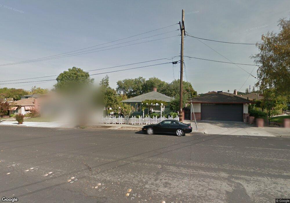
708 S P St Livermore, CA 94550
Downtown Livermore NeighborhoodEstimated Value: $930,988 - $1,114,000
3
Beds
2
Baths
1,408
Sq Ft
$731/Sq Ft
Est. Value
About This Home
This home is located at 708 S P St, Livermore, CA 94550 and is currently estimated at $1,028,997, approximately $730 per square foot. 708 S P St is a home located in Alameda County with nearby schools including Junction Avenue K-8 School, Livermore High School, and St Michael's School.
Ownership History
Date
Name
Owned For
Owner Type
Purchase Details
Closed on
Dec 3, 2014
Sold by
Parsons Timothy and Parsons Dana K
Bought by
Parsons Family Trust
Current Estimated Value
Purchase Details
Closed on
Jun 2, 1995
Sold by
Crawford Marvin K and Crawford Linda M
Bought by
Parsons Timothy V and Parsons Dana K
Home Financials for this Owner
Home Financials are based on the most recent Mortgage that was taken out on this home.
Original Mortgage
$187,600
Interest Rate
8.37%
Create a Home Valuation Report for This Property
The Home Valuation Report is an in-depth analysis detailing your home's value as well as a comparison with similar homes in the area
Home Values in the Area
Average Home Value in this Area
Purchase History
| Date | Buyer | Sale Price | Title Company |
|---|---|---|---|
| Parsons Family Trust | -- | None Available | |
| Parsons Timothy V | $197,500 | Fidelity National Title Ins |
Source: Public Records
Mortgage History
| Date | Status | Borrower | Loan Amount |
|---|---|---|---|
| Closed | Parsons Timothy V | $187,600 |
Source: Public Records
Tax History Compared to Growth
Tax History
| Year | Tax Paid | Tax Assessment Tax Assessment Total Assessment is a certain percentage of the fair market value that is determined by local assessors to be the total taxable value of land and additions on the property. | Land | Improvement |
|---|---|---|---|---|
| 2025 | $5,144 | $359,286 | $99,600 | $266,686 |
| 2024 | $5,144 | $352,105 | $97,648 | $261,457 |
| 2023 | $5,053 | $352,065 | $95,733 | $256,332 |
| 2022 | $4,967 | $338,164 | $93,857 | $251,307 |
| 2021 | $4,114 | $331,396 | $92,016 | $246,380 |
| 2020 | $4,704 | $334,927 | $91,073 | $243,854 |
| 2019 | $4,713 | $328,361 | $89,288 | $239,073 |
| 2018 | $4,599 | $321,923 | $87,537 | $234,386 |
| 2017 | $4,472 | $315,612 | $85,821 | $229,791 |
| 2016 | $4,291 | $309,424 | $84,138 | $225,286 |
| 2015 | $4,033 | $304,778 | $82,875 | $221,903 |
| 2014 | $3,959 | $298,809 | $81,252 | $217,557 |
Source: Public Records
Map
Nearby Homes
- 589 S M St
- 528 S S St
- 1727 2nd St
- 1085 Murrieta Blvd Unit 318
- 1085 Murrieta Blvd Unit 222
- 1087 Murrieta Blvd Unit 243
- 1087 Murrieta Blvd Unit 138
- 1087 Murrieta Blvd Unit 245
- 1087 Murrieta Blvd Unit 242
- 2235 4th St
- 2203 Sherry Ct
- 1948 Railroad Ave Unit 104
- 1467 Hudson Way
- 1385 Lambaren Ave
- 1320 Ventura Ave
- 1153 Sherry Way
- 1277 Olivina Ave
- 1307 Belfast Ct
- 955 Ventura Ave
- 905 S Livermore Ave