7080 Stovesand Rd Cedar Hill, MO 63016
Estimated Value: $71,513 - $183,000
2
Beds
1
Bath
725
Sq Ft
$179/Sq Ft
Est. Value
About This Home
This home is located at 7080 Stovesand Rd, Cedar Hill, MO 63016 and is currently estimated at $129,628, approximately $178 per square foot. 7080 Stovesand Rd is a home located in Jefferson County with nearby schools including Northwest High School.
Ownership History
Date
Name
Owned For
Owner Type
Purchase Details
Closed on
Jun 11, 2025
Sold by
Liberton Daniel J and Liberton Patricia I
Bought by
Viau Keith
Current Estimated Value
Purchase Details
Closed on
Jun 6, 2025
Sold by
Stephens Janice Elaine and Stephens Samuel D
Bought by
Liberton Daniel J and Liberton Patricia I
Purchase Details
Closed on
Nov 22, 2003
Sold by
Telle Charles T
Bought by
Glacken Harold and Glacken Carolyn
Purchase Details
Closed on
Jan 10, 2001
Sold by
Weiss Nicholas M and Weiss Jean
Bought by
Glacken Harold W and Glacken Carolyn S
Home Financials for this Owner
Home Financials are based on the most recent Mortgage that was taken out on this home.
Original Mortgage
$17,000
Interest Rate
7.55%
Create a Home Valuation Report for This Property
The Home Valuation Report is an in-depth analysis detailing your home's value as well as a comparison with similar homes in the area
Purchase History
| Date | Buyer | Sale Price | Title Company |
|---|---|---|---|
| Viau Keith | -- | Investors Title Company | |
| Liberton Daniel J | -- | Investors Title Company | |
| Glacken Harold | -- | -- | |
| Glacken Harold W | -- | -- |
Source: Public Records
Mortgage History
| Date | Status | Borrower | Loan Amount |
|---|---|---|---|
| Previous Owner | Glacken Harold W | $17,000 |
Source: Public Records
Tax History
| Year | Tax Paid | Tax Assessment Tax Assessment Total Assessment is a certain percentage of the fair market value that is determined by local assessors to be the total taxable value of land and additions on the property. | Land | Improvement |
|---|---|---|---|---|
| 2025 | $417 | $5,500 | $500 | $5,000 |
| 2024 | $417 | $5,500 | $500 | $5,000 |
| 2023 | $417 | $5,500 | $500 | $5,000 |
| 2022 | $415 | $5,500 | $500 | $5,000 |
| 2021 | $411 | $5,500 | $500 | $5,000 |
| 2020 | $424 | $5,500 | $500 | $5,000 |
| 2019 | $493 | $6,400 | $500 | $5,900 |
| 2018 | $491 | $6,400 | $500 | $5,900 |
| 2017 | $241 | $7,700 | $500 | $7,200 |
| 2016 | $519 | $7,100 | $500 | $6,600 |
| 2015 | $566 | $7,700 | $500 | $7,200 |
| 2013 | -- | $7,500 | $500 | $7,000 |
Source: Public Records
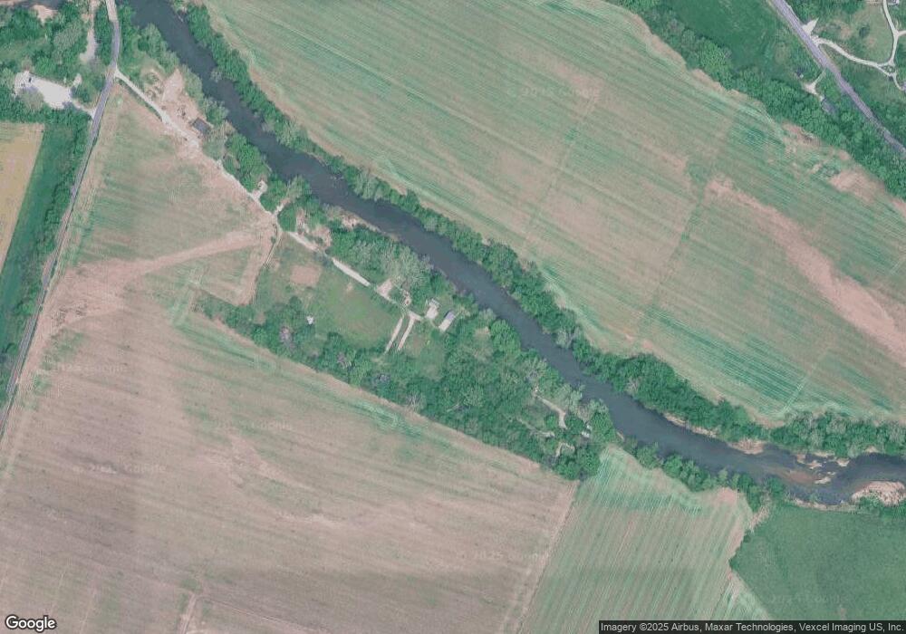
Map
Nearby Homes
- 8353 Graham Rd
- 7016 Oakwood Dr
- 6322 Cedar Hill Rd
- 69 Cedar Hill Estates Unit C-47
- 0 Terri Hill Dr
- 8115 Graham Rd
- 7363 Burgess Ford Rd
- 6127 Barrington Oaks Dr
- 7055 State Route 30
- 8911 Kitson Ln
- 0 Lakeshore Dr
- 7205 Lakeshore Dr
- 7218 Lakeshore Dr
- 7516 Scott Ln
- 7648 Local Hillsboro Rd
- 8405 Midway Dr
- 5961 White Oak Dr
- 7322 Springdale
- 6207 Cedar Brook Dr
- 7916 Clover Lake Loop
- 7076 Stovesand Rd
- 7072 Stovesand Rd
- 7063 Stovesand Rd
- 7096 Stovesand Rd
- 7060 Stovesand Rd
- 7059 Stovesand Rd
- 7048 Stovesand Rd
- 7053 Stovesand Rd
- 7053 Stovesand Ct
- 7114 Stovesand Rd
- 7102 Stovesand Rd
- 7042 Stovesand Rd
- 7093 Stovesand Rd
- 7030 Stovesand Rd
- 7018 Stovesand Rd
- 7018 Stovesand Rd
- 7012 Stovesand Rd
- 7130 Highway Bb
- 7126 Highway Bb
- 8392 Tomes Ln
Your Personal Tour Guide
Ask me questions while you tour the home.