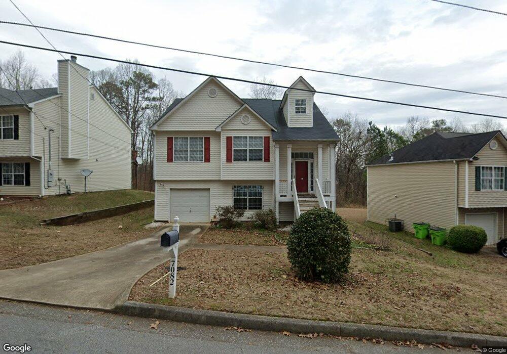
7082 Shenandoah Trail Austell, GA 30168
Estimated Value: $267,000 - $306,000
3
Beds
3
Baths
1,098
Sq Ft
$267/Sq Ft
Est. Value
About This Home
This home is located at 7082 Shenandoah Trail, Austell, GA 30168 and is currently estimated at $292,877, approximately $266 per square foot. 7082 Shenandoah Trail is a home located in Cobb County with nearby schools including Riverside Primary School, Lindley Middle School, and Pebblebrook High School.
Ownership History
Date
Name
Owned For
Owner Type
Purchase Details
Closed on
Jun 7, 2005
Sold by
Washington Muntial Bank Fa
Bought by
Sec Of Housing & Urban Devel
Current Estimated Value
Purchase Details
Closed on
Feb 28, 2001
Sold by
Forrest Homes Inc
Bought by
Miller Mizpah
Home Financials for this Owner
Home Financials are based on the most recent Mortgage that was taken out on this home.
Original Mortgage
$127,991
Interest Rate
7.09%
Mortgage Type
FHA
Create a Home Valuation Report for This Property
The Home Valuation Report is an in-depth analysis detailing your home's value as well as a comparison with similar homes in the area
Home Values in the Area
Average Home Value in this Area
Purchase History
| Date | Buyer | Sale Price | Title Company |
|---|---|---|---|
| Sec Of Housing & Urban Devel | -- | -- | |
| Washington Mutual Bank Fa | $173,542 | -- | |
| Miller Mizpah | $130,000 | -- |
Source: Public Records
Mortgage History
| Date | Status | Borrower | Loan Amount |
|---|---|---|---|
| Previous Owner | Miller Mizpah | $127,991 |
Source: Public Records
Tax History Compared to Growth
Tax History
| Year | Tax Paid | Tax Assessment Tax Assessment Total Assessment is a certain percentage of the fair market value that is determined by local assessors to be the total taxable value of land and additions on the property. | Land | Improvement |
|---|---|---|---|---|
| 2025 | $2,364 | $117,028 | $22,000 | $95,028 |
| 2024 | $2,671 | $131,120 | $26,000 | $105,120 |
| 2023 | $1,835 | $117,576 | $22,000 | $95,576 |
| 2022 | $2,257 | $93,200 | $12,000 | $81,200 |
| 2021 | $1,575 | $62,024 | $8,000 | $54,024 |
| 2020 | $1,322 | $52,560 | $8,000 | $44,560 |
| 2019 | $1,322 | $52,560 | $8,000 | $44,560 |
| 2018 | $967 | $40,872 | $6,800 | $34,072 |
| 2017 | $665 | $32,060 | $4,800 | $27,260 |
| 2016 | $522 | $27,052 | $3,200 | $23,852 |
| 2015 | $537 | $27,052 | $3,200 | $23,852 |
| 2014 | $408 | $22,576 | $0 | $0 |
Source: Public Records
Map
Nearby Homes
- 7010 Oakhill Cir
- 306 Bonnes Dr
- 7066 Oakhill Cir
- 7074 Oakhill Cir
- 6914 Fairway Trail
- 6837 Shenandoah Trail
- 7080 Fringe Flower Dr Unit 18
- 295 Sweetshrub Dr Unit 2
- 7224 Kings Cove Unit 10
- 201 Wilhelmina Dr
- 6874 Bridgewood Dr
- 7282 Rockhouse Rd Unit 5
- 0 Cityview Dr SW Unit 10597603
- 6649 Valley Hill Dr SW
- 6854 Bridgewood Dr
- 6650 Valley Hill Dr SW
- Foxglove Plan at Leydenview
- Marigold Plan at Leydenview
- 6722 Armonia Dr
- 6714 Armonia Dr
- 7080 Shenandoah Trail
- 7084 Shenandoah Trail
- 7086 Shenandoah Trail
- 7078 Shenandoah Trail
- 7088 Shenandoah Trail
- 7076 Shenandoah Trail
- 7076 Shenandoah Trail
- 7090 Shenandoah Trail
- 2140 Ravencliff Dr
- 2140 Ravencliff Dr Unit 15
- 2105 Ravencliff Dr Unit 31
- 2180 Ravencliff Dr Unit 19
- 2145 Ravencliff Dr Unit 27
- 2175 Ravencliff Dr Unit 24
- 2060 Ravencliff Dr Unit 7
- 2040 Ravencliff Dr Unit 15
- 2160 Ravencliff Dr Unit 17
- 2100 Ravencliff Dr Unit 11
- 2120 Ravencliff Dr Unit 13
- 2135 Ravencliff Dr Unit 28