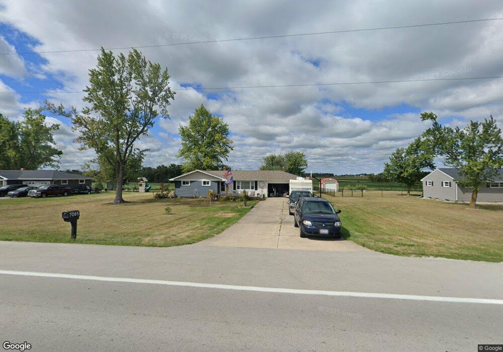
7085 State Route 118 Celina, OH 45822
Estimated Value: $205,000 - $280,000
3
Beds
1
Bath
1,116
Sq Ft
$206/Sq Ft
Est. Value
About This Home
This home is located at 7085 State Route 118, Celina, OH 45822 and is currently estimated at $230,311, approximately $206 per square foot. 7085 State Route 118 is a home located in Mercer County with nearby schools including Celina Middle School, Celina High School, and Immaculate Conception School.
Ownership History
Date
Name
Owned For
Owner Type
Purchase Details
Closed on
Aug 24, 2010
Sold by
Johnsman Esther C
Bought by
Wurster Chistopher J and Wurster Theresa A
Current Estimated Value
Home Financials for this Owner
Home Financials are based on the most recent Mortgage that was taken out on this home.
Original Mortgage
$70,400
Interest Rate
4.6%
Mortgage Type
New Conventional
Create a Home Valuation Report for This Property
The Home Valuation Report is an in-depth analysis detailing your home's value as well as a comparison with similar homes in the area
Home Values in the Area
Average Home Value in this Area
Purchase History
| Date | Buyer | Sale Price | Title Company |
|---|---|---|---|
| Wurster Chistopher J | $88,000 | Attorney |
Source: Public Records
Mortgage History
| Date | Status | Borrower | Loan Amount |
|---|---|---|---|
| Closed | Wurster Chistopher J | $70,400 |
Source: Public Records
Tax History Compared to Growth
Tax History
| Year | Tax Paid | Tax Assessment Tax Assessment Total Assessment is a certain percentage of the fair market value that is determined by local assessors to be the total taxable value of land and additions on the property. | Land | Improvement |
|---|---|---|---|---|
| 2024 | $2,606 | $65,800 | $9,310 | $56,490 |
| 2023 | $2,606 | $65,800 | $9,310 | $56,490 |
| 2022 | $2,239 | $48,970 | $8,300 | $40,670 |
| 2021 | $2,244 | $48,970 | $8,300 | $40,670 |
| 2020 | $1,887 | $48,970 | $8,300 | $40,670 |
| 2019 | $1,369 | $33,290 | $7,530 | $25,760 |
| 2018 | $1,697 | $39,730 | $7,530 | $32,200 |
| 2017 | $1,650 | $39,730 | $7,530 | $32,200 |
| 2016 | $1,614 | $38,510 | $7,530 | $30,980 |
| 2015 | $1,567 | $38,510 | $7,530 | $30,980 |
| 2014 | $1,570 | $38,510 | $7,530 | $30,980 |
| 2013 | $1,673 | $38,510 | $7,530 | $30,980 |
Source: Public Records
Map
Nearby Homes
- 6799 Debra Ave
- 6699 Gause Rd
- 4640 Sierra Dr
- 0 Anderson 13&14 & Roadway 12&13 Unit 1037886
- 6764 Silver Lakes Dr
- 0 Anderson Lots 10 11 & 12 Ln Unit 1037885
- 0 Springer 1-6 & Roadway 14-16 Unit 1037883
- 1101 Timothy Ln
- 1218 Brittany Dr
- 1528 Mary Ln
- 2332 State Route 29
- 628 Hoying St
- 618 W Livingston St
- 210 S Elm St
- 515 W Fayette St
- 522 Schunk Rd
- 627 N Sugar St
- 611 N Sugar St
- 325 N Walnut St
- 115 Touvelle St
- 7085 Ohio 118
- 7097 State Route 118
- 7071 State Route 118
- 7097 Ohio 118
- 7061 State Route 118
- 7061 Ohio 118
- 7109 State Route 118
- 7078 State Route 118
- 7078 Ohio 118
- 4004 Mud Pike Rd
- 7051 State Route 118
- 3996 Mud Pike Rd
- 7051 Ohio 118
- 3986 Mud Pike Rd
- 3986 Mud Pike Rd
- 4023 Mud Pike Rd
- 4023 Mud Pike Rd
- 4038 Mud Pike Rd
- 4001 Mud Pike Rd
- 3976 Mud Pike Rd