Estimated Value: $541,000 - $734,402
5
Beds
3
Baths
2,791
Sq Ft
$231/Sq Ft
Est. Value
About This Home
This home is located at 7086 Worcester Rd, Palo, IA 52324 and is currently estimated at $644,467, approximately $230 per square foot. 7086 Worcester Rd is a home located in Linn County with nearby schools including Maple Grove Elementary School, Taft Middle School, and Thomas Jefferson High School.
Ownership History
Date
Name
Owned For
Owner Type
Purchase Details
Closed on
Feb 27, 2001
Sold by
Morrissey Joseph M
Bought by
Seamans Charles M and Seamans Allison J
Current Estimated Value
Create a Home Valuation Report for This Property
The Home Valuation Report is an in-depth analysis detailing your home's value as well as a comparison with similar homes in the area
Purchase History
| Date | Buyer | Sale Price | Title Company |
|---|---|---|---|
| Seamans Charles M | $59,500 | -- |
Source: Public Records
Tax History
| Year | Tax Paid | Tax Assessment Tax Assessment Total Assessment is a certain percentage of the fair market value that is determined by local assessors to be the total taxable value of land and additions on the property. | Land | Improvement |
|---|---|---|---|---|
| 2025 | $7,200 | $658,600 | $110,500 | $548,100 |
| 2024 | $6,798 | $633,800 | $110,500 | $523,300 |
| 2023 | $6,798 | $633,800 | $110,500 | $523,300 |
| 2022 | $6,704 | $493,400 | $110,500 | $382,900 |
| 2021 | $6,186 | $493,400 | $110,500 | $382,900 |
| 2020 | $6,186 | $423,600 | $66,700 | $356,900 |
| 2019 | $5,668 | $396,500 | $66,700 | $329,800 |
| 2018 | $5,538 | $396,500 | $66,700 | $329,800 |
| 2017 | $5,710 | $390,600 | $66,700 | $323,900 |
| 2016 | $5,697 | $390,600 | $66,700 | $323,900 |
| 2015 | $5,726 | $390,600 | $66,700 | $323,900 |
| 2014 | $5,598 | $390,600 | $66,700 | $323,900 |
| 2013 | $5,486 | $390,600 | $66,700 | $323,900 |
Source: Public Records
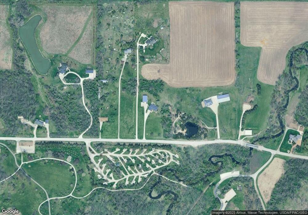
Map
Nearby Homes
- 1513 Stoney Point Rd NW
- 916 Blue Stone St NW
- 7515 Country Brook Dr NW
- 7515 Country Ridge Dr NW
- 7602 Country Ridge Dr NW
- 2415 Prairie Knoll Ct NW
- 2502 Prairie Knoll Ct NW
- 7226 Country Ridge Dr NW
- 7408 Country Ridge Dr NW
- 320 Stoney Creek Rd NW
- 456 Mayberry Dr NW
- 448 Day St NW
- 441 Day St NW Unit 6
- 7806 Hillsboro Dr SW
- 7913 Crossroads Dr SW
- 408 Day St NW
- 145 Belvedere Dr NW
- 311 Rockhurst Dr SW
- 7712 Keypoint Dr SW
- 159 Crestridge Dr NW
- 7208 Worcester Rd
- 7190 Worcester Rd
- 7110 Worcester Rd
- 6905 Worcester Rd
- 6818 Worcester Rd
- 7302 Worcester Rd
- 7414 Worcester Rd
- 6905 Worcester Rd NW
- 6600 Worcester Rd
- 6508 Davis Ct
- 6509 Davis Ct
- 6506 Worcester Rd
- 6504 Davis Ct
- 6505 Davis Ct
- 6503 Worcester Rd
- 1512 Stoney Point Rd
- 6501 Davis Ct
- 1500 Stoney Point Rd NW
- 1302 Stoney Point Rd NW
- 6500 Davis Ct
Your Personal Tour Guide
Ask me questions while you tour the home.