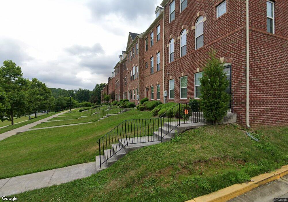
709 Addison Rd S Capitol Heights, MD 20743
Estimated Value: $428,199 - $491,000
--
Bed
2
Baths
1,672
Sq Ft
$271/Sq Ft
Est. Value
About This Home
This home is located at 709 Addison Rd S, Capitol Heights, MD 20743 and is currently estimated at $452,300, approximately $270 per square foot. 709 Addison Rd S is a home located in Prince George's County with nearby schools including Doswell E. Brooks Elementary, Walker Mill Middle School, and Central High School.
Ownership History
Date
Name
Owned For
Owner Type
Purchase Details
Closed on
Mar 13, 2013
Sold by
Nvr Inc
Bought by
White Florence C
Current Estimated Value
Home Financials for this Owner
Home Financials are based on the most recent Mortgage that was taken out on this home.
Original Mortgage
$5,000
Outstanding Balance
$3,544
Interest Rate
3.56%
Mortgage Type
Stand Alone Second
Estimated Equity
$448,756
Purchase Details
Closed on
Oct 2, 2012
Sold by
Addison Investments Lc
Bought by
Nvr Inc
Create a Home Valuation Report for This Property
The Home Valuation Report is an in-depth analysis detailing your home's value as well as a comparison with similar homes in the area
Home Values in the Area
Average Home Value in this Area
Purchase History
| Date | Buyer | Sale Price | Title Company |
|---|---|---|---|
| White Florence C | $303,520 | None Available | |
| Nvr Inc | $870,000 | None Available |
Source: Public Records
Mortgage History
| Date | Status | Borrower | Loan Amount |
|---|---|---|---|
| Open | White Florence C | $5,000 | |
| Open | White Florence C | $298,020 |
Source: Public Records
Tax History Compared to Growth
Tax History
| Year | Tax Paid | Tax Assessment Tax Assessment Total Assessment is a certain percentage of the fair market value that is determined by local assessors to be the total taxable value of land and additions on the property. | Land | Improvement |
|---|---|---|---|---|
| 2025 | $5,672 | $387,167 | -- | -- |
| 2024 | $5,672 | $367,033 | $0 | $0 |
| 2023 | $5,470 | $346,900 | $65,000 | $281,900 |
| 2022 | $5,274 | $339,767 | $0 | $0 |
| 2021 | $5,084 | $332,633 | $0 | $0 |
| 2020 | $5,019 | $325,500 | $45,000 | $280,500 |
| 2019 | $4,919 | $317,267 | $0 | $0 |
| 2018 | $4,792 | $309,033 | $0 | $0 |
| 2017 | $4,695 | $300,800 | $0 | $0 |
| 2016 | -- | $292,933 | $0 | $0 |
| 2015 | $140 | $285,067 | $0 | $0 |
| 2014 | $140 | $277,200 | $0 | $0 |
Source: Public Records
Map
Nearby Homes
- 530 Victorianna Dr
- 6103 Westin Ct
- 421 Saint Margarets Dr
- 423 Saint Margarets Dr
- 404 Zelma Ave
- 418 Saint Margarets Dr
- 209 Addison Rd S
- 6512 Rolling Ridge Dr
- 0 Rollins Ave Unit MDPG2158618
- 5814 Folgate Ct
- 6903 Fawncrest Dr
- 710 Iona Terrace
- 5707 Falkland Place
- 708 Iona Terrace
- 5717 Falkland Place
- 6610 Central Ave
- 6021 Applegarth Place
- 6706 Central Ave
- 8 Cindy Ln
- 1311 Karen Blvd Unit 407
- 707 Addison Rd S
- 705 Addison Rd S
- 711 Addison Rd S
- 703 Addison Rd S
- 701 Addison Rd S
- 713 Addison Rd S
- 626 Chance Place
- 624 Chance Place
- 622 Chance Place
- 715 Addison Rd S
- 620 Chance Place
- 6328 Santo Place
- 717 Addison Rd S
- 618 Chance Place
- 6326 Santo Place
- 615 Waveland Ave
- 719 Addison Rd S
- 6324 Santo Place
- 613 Waveland Ave
- 614 Chance Place