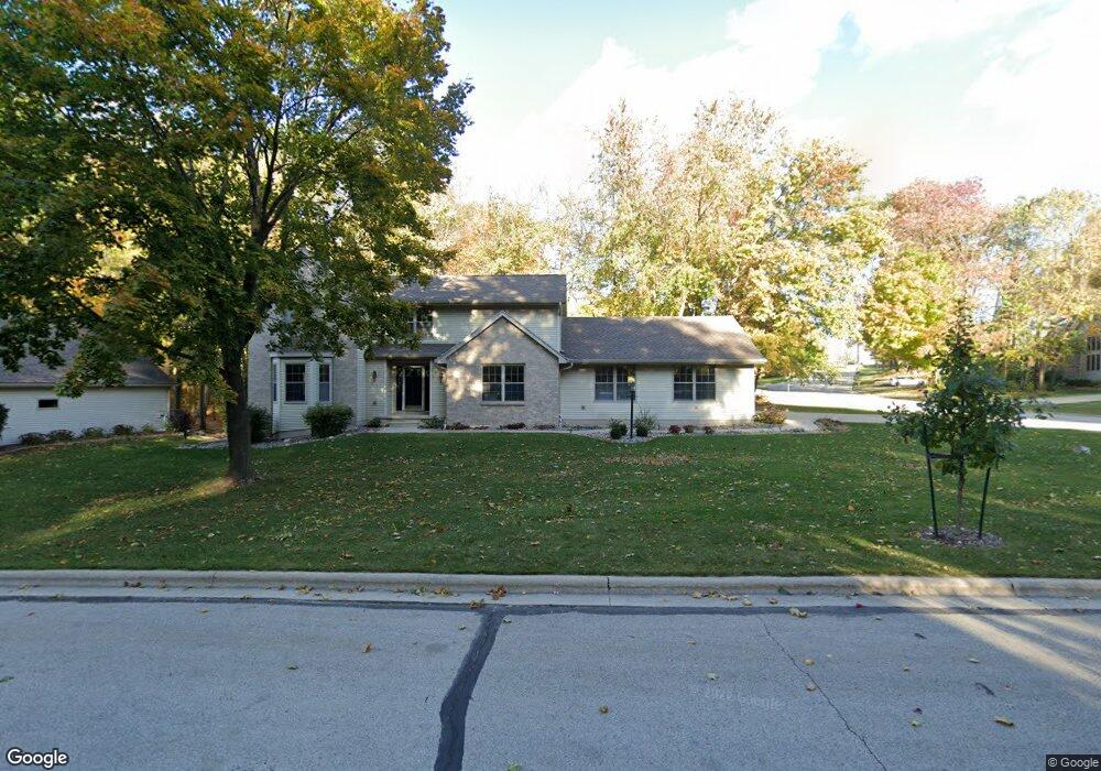
709 Antelope Trail Green Bay, WI 54313
Westside NeighborhoodEstimated Value: $487,704 - $609,000
--
Bed
--
Bath
--
Sq Ft
0.44
Acres
About This Home
This home is located at 709 Antelope Trail, Green Bay, WI 54313 and is currently estimated at $540,676. 709 Antelope Trail is a home located in Brown County with nearby schools including MacArthur Elementary School, Lombardi Middle School, and Southwest High School.
Ownership History
Date
Name
Owned For
Owner Type
Purchase Details
Closed on
Sep 30, 2016
Sold by
Cutian Robert T and Cutian Stephanie L
Bought by
Wolcanski Matthew R and Wolcanski Melissa M
Current Estimated Value
Home Financials for this Owner
Home Financials are based on the most recent Mortgage that was taken out on this home.
Original Mortgage
$192,000
Outstanding Balance
$153,924
Interest Rate
3.46%
Mortgage Type
New Conventional
Estimated Equity
$386,752
Purchase Details
Closed on
Feb 26, 2002
Sold by
Bank Of New York
Bought by
Cutlan Robert T and Cutlan Stephanie L
Home Financials for this Owner
Home Financials are based on the most recent Mortgage that was taken out on this home.
Original Mortgage
$164,000
Interest Rate
6.92%
Purchase Details
Closed on
Aug 23, 2001
Sold by
Srenaski Dennis and Srenaski Patricia A
Bought by
Associated Bank Green Bay Na
Create a Home Valuation Report for This Property
The Home Valuation Report is an in-depth analysis detailing your home's value as well as a comparison with similar homes in the area
Home Values in the Area
Average Home Value in this Area
Purchase History
| Date | Buyer | Sale Price | Title Company |
|---|---|---|---|
| Wolcanski Matthew R | $240,000 | Dominion Title | |
| Cutlan Robert T | $205,000 | Evans Title | |
| Associated Bank Green Bay Na | $158,000 | Evans Title |
Source: Public Records
Mortgage History
| Date | Status | Borrower | Loan Amount |
|---|---|---|---|
| Open | Wolcanski Matthew R | $192,000 | |
| Previous Owner | Cutlan Robert T | $164,000 |
Source: Public Records
Tax History Compared to Growth
Tax History
| Year | Tax Paid | Tax Assessment Tax Assessment Total Assessment is a certain percentage of the fair market value that is determined by local assessors to be the total taxable value of land and additions on the property. | Land | Improvement |
|---|---|---|---|---|
| 2024 | $7,307 | $381,500 | $63,700 | $317,800 |
| 2023 | $7,027 | $381,500 | $63,700 | $317,800 |
| 2022 | $6,836 | $381,500 | $63,700 | $317,800 |
| 2021 | $6,626 | $279,600 | $58,200 | $221,400 |
| 2020 | $6,645 | $279,600 | $58,200 | $221,400 |
| 2019 | $6,464 | $279,600 | $58,200 | $221,400 |
| 2018 | $6,298 | $279,600 | $58,200 | $221,400 |
| 2017 | $6,182 | $279,600 | $58,200 | $221,400 |
| 2016 | $6,092 | $279,600 | $58,200 | $221,400 |
| 2015 | $6,165 | $279,600 | $58,200 | $221,400 |
| 2014 | $6,423 | $279,600 | $58,200 | $221,400 |
| 2013 | $6,423 | $279,600 | $58,200 | $221,400 |
Source: Public Records
Map
Nearby Homes
- 516 Country Club Rd
- 2993 Fleetwood Dr
- 916 Square Terrace
- 3112 Birdie Ct
- 2610 Sumac Place
- 1000 Rolling Green Dr
- 3102 Sandstone Ct
- 618 Night Ct
- 1433 Baumgart Rd Unit 1435
- 3833 Hillcrest Dr
- 3096 S Sandstone Ct
- 2560 N Trillium Cir
- 3097 S Sandstone Ct
- 3023 Crusade Ln
- 2640 He Nis Ra Ln
- 4179 Hillcrest Dr
- 2550 He Nis Ra Ln
- 1602 W Crusade Ln
- 2439 W Point Rd
- 1364 Lexington Ct
- 709 Antelope Tr
- 703 Antelope Trail
- 622 Doe Trail Ct
- 2847 Doe Trail
- 614 Doe Trail Ct
- 617 Antelope Trail
- 2839 Doe Trail
- 2864 Doe Trail
- 616 Antelope Trail
- 2831 Doe Trail
- 2869 Antler Trail
- 623 Doe Trail Ct
- 2855 Antler Trail
- 2851 Antler Tr
- 610 Antelope Tr
- 2851 Antler Trail
- 2819 Doe Tr
- 2855 Antler Tr
- 610 Antelope Trail
- 2819 Doe Trail